The Global Geodetic Observing System (GGOS) of the International Association of Geodesy (IAG) is a collaborative contribution of the global geodesy community to the observation and monitoring of the Earth System. Geodesy is the science of determining the shape of the Earth, its gravity field, and its rotation as functions of time. Essential to reaching this goal are stable and consistent geodetic ...[Read More]
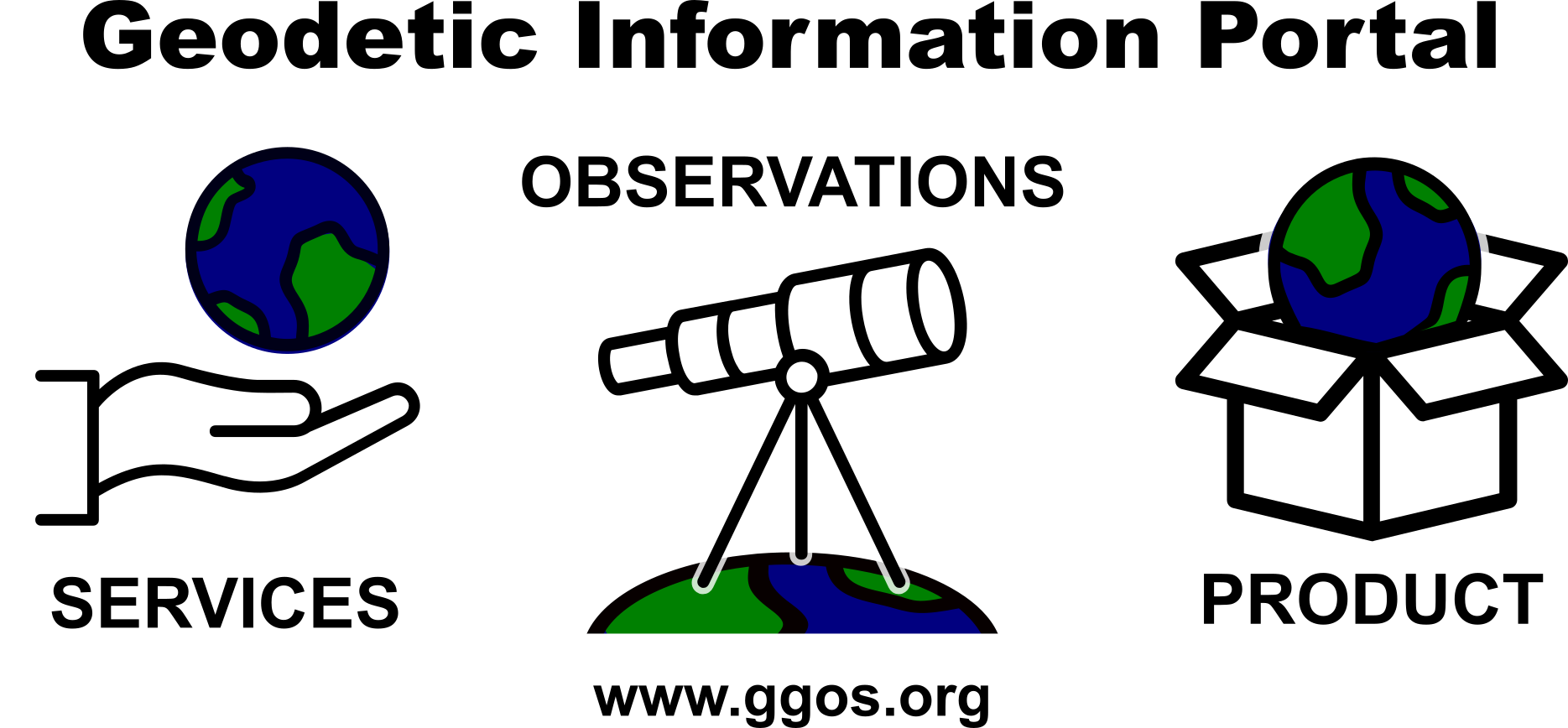
The comprehensive Geodetic Information Portal of GGOS
Global Geodetic Observing System (GGOS)