The 2023 General Assembly is gaining momentum. Did you ever consider taking part as a mentor (or mentee) in EGU’s mentoring programme? If you ask me, it’s a nice opportunity to increase the odds of being a positive influence to someone, and you may learn some things in the process too. Who’s your positive influence? Here’s a mental exercise: name 3 people who positively influenced your care ...[Read More]
Want to really understand sea-level rise? Bring in the geodesists!
A remarkably large number of papers and proposals have sentences like “this study is critical to better project future sea-level rise” in their introduction. Most times this is just marketing to trick reviewers and program managers into believing the work is important. On the other hand, geodetic papers and proposals have some compelling reasons to use this statement: a lot of geodetic tech ...[Read More]
Geodesy 101 Literature
During this year’s EGU General Assembly (GA) we held the first Geodesy 101 Short Course, where we gave an introduction to satellite gravimetry, GNSS processing and geodetic reference frames. We want to thank all of you who attended in-person or virtually, and made the short course a great experience! Please provide us feedback, if you have attended the short course here. At the GA, we were only ab ...[Read More]
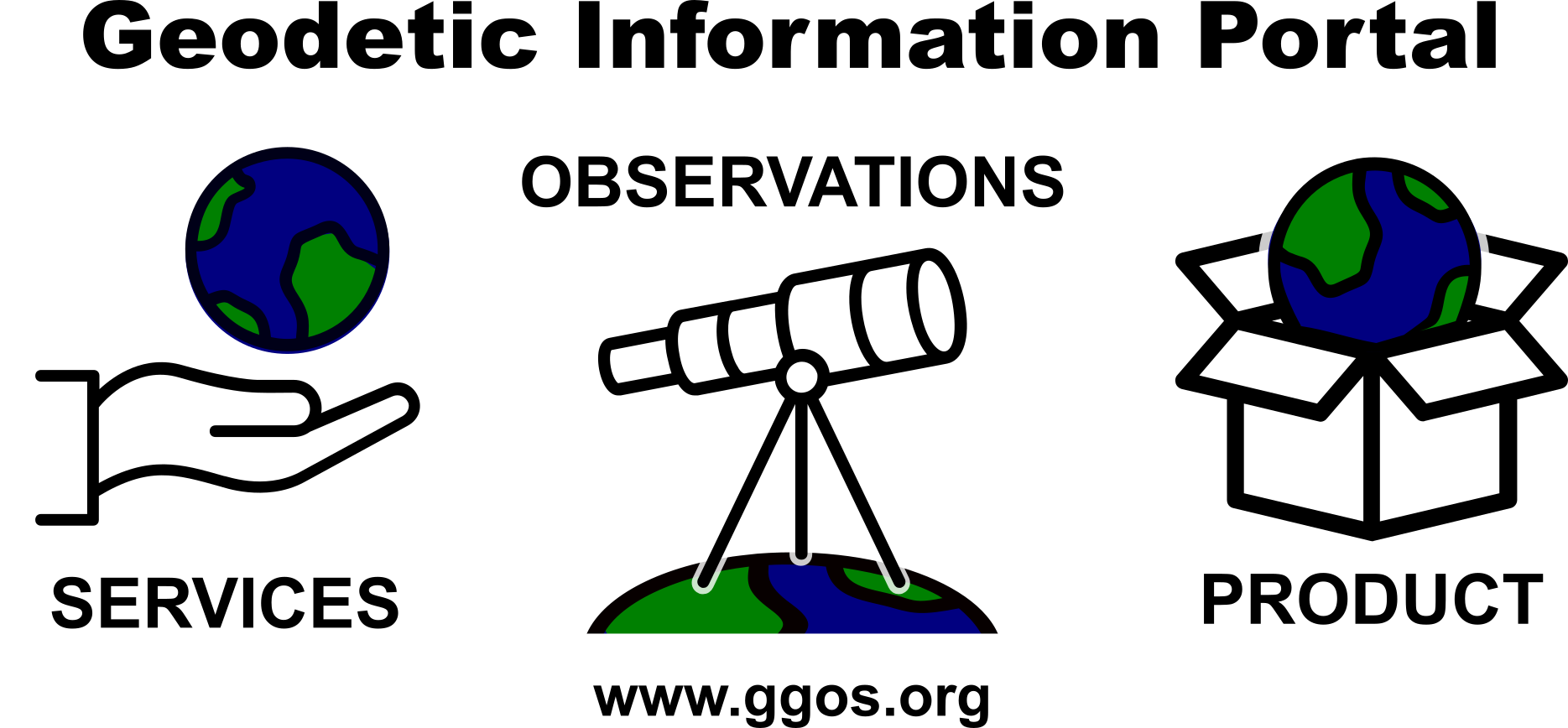
The comprehensive Geodetic Information Portal of GGOS
The Global Geodetic Observing System (GGOS) of the International Association of Geodesy (IAG) is a collaborative contribution of the global geodesy community to the observation and monitoring of the Earth System. Geodesy is the science of determining the shape of the Earth, its gravity field, and its rotation as functions of time. Essential to reaching this goal are stable and consistent geodetic ...[Read More]


