G
Geodesy

Guest post

High resolution terrestrial water storage changes from combination of GRACE and models
High resolution terrestrial water storage changes from combination of GRACE and models
The Gravity Recovery and Climate Experiment (GRACE) satellite mission (2002-2017) consisted of two satellites at ~500 km altitude separated by 200 km, following each other in the same orbit. The distance between the two GRACE satellites changes because of the gravitational pull of the masses beneath the satellites. As such, mass changes at or near …[Read More]

Calculating postglacial sea-level change within few seconds: a statistical emulator for GIA

Calculating postglacial sea-level change within few seconds: a statistical emulator for GIA

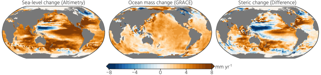
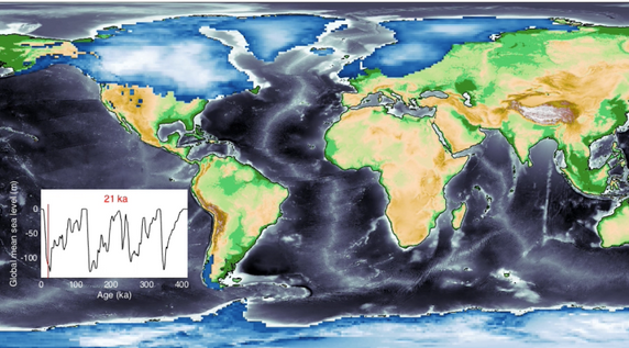
Sea-level change serves as a direct indicator of climate change with profound implications for coastal areas. Since 1900, the global mean sea level (GMSL) has risen over 20 cm, leading to beach erosion, delta inundation, and increased flooding worldwide. Over glacial cycles spanning tens of thousands of years, interactions between ocean and continental-scale ice sheets …[Read More]

What would we like to see from future gravity missions? Help us to define the scientific requirements!

What would we like to see from future gravity missions? Help us to define the scientific requirements!

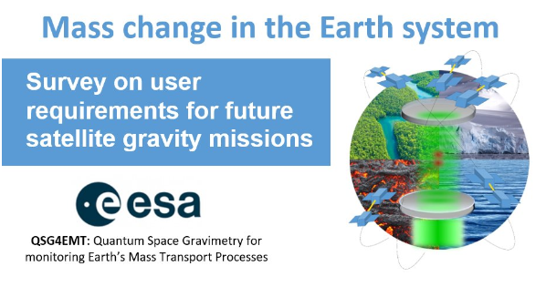
Are you interested in water storage, sea level, ice sheets, crust-mantle dynamics, or any other mass change signals? Please complete the following user requirement survey and help shape future satellite gravity missions Mass changes on and below the Earth’s surface, such as from water storage variations to groundwater use, glacier melt, sea level change, and …[Read More]

Geodetic Data and Products – Idea of a Central Access Point

Geodetic Data and Products – Idea of a Central Access Point

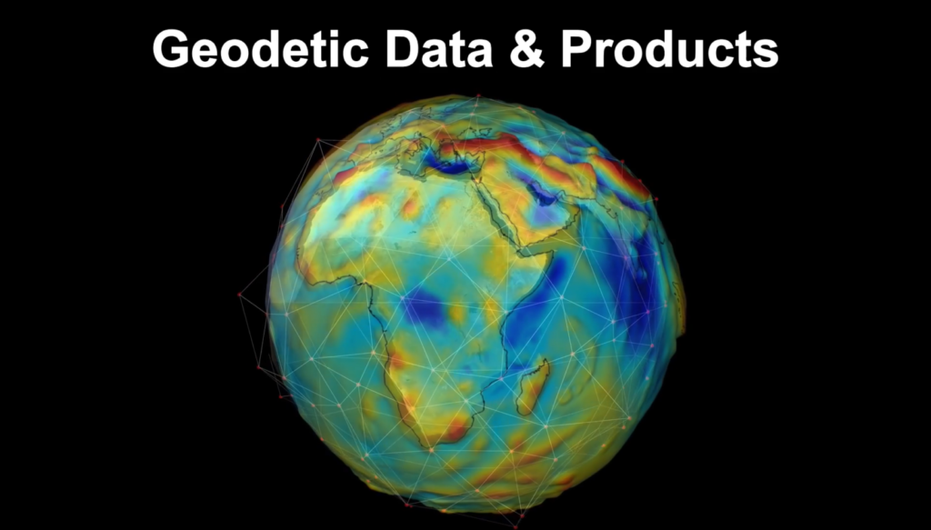
  The services of the International Association of Geodesy (IAG) provide very important and valuable geodetic data, information, and data products that are increasingly relevant for Earth System research, including monitoring of global change phenomena and a wide range of diverse applications such as satellite navigation, surveying, mapping, engineering, geospatial information systems, and so on. …[Read More]

Want to really understand sea-level rise? Bring in the geodesists!

Want to really understand sea-level rise? Bring in the geodesists!

  A remarkably large number of papers and proposals have sentences like “this study is critical to better project future sea-level rise” in their introduction. Most times this is just marketing to trick reviewers and program managers into believing the work is important. On the other hand, geodetic papers and proposals have some compelling reasons …[Read More]

Geodesy 101 Literature

Blackboard with the Geodesy 101 short course title

During this year’s EGU General Assembly (GA) we held the first Geodesy 101 Short Course, where we gave an introduction to satellite gravimetry, GNSS processing and geodetic reference frames. We want to thank all of you who attended in-person or virtually, and made the short course a great experience! Please provide us feedback, if you …[Read More]

The comprehensive Geodetic Information Portal of GGOS

The comprehensive Geodetic Information Portal of GGOS

The Global Geodetic Observing System (GGOS) of the International Association of Geodesy (IAG) is a collaborative contribution of the global geodesy community to the observation and monitoring of the Earth System. Geodesy is the science of determining the shape of the Earth, its gravity field, and its rotation as functions of time. Essential to reaching …[Read More]