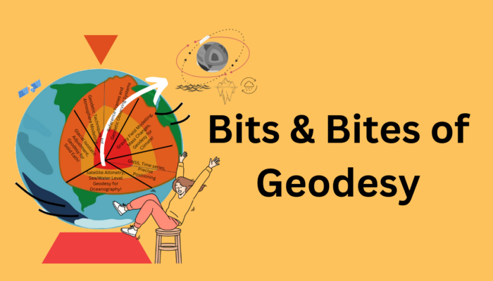
In a previous post, Thomas Frederikse briefly explained how geodesy is used to observe sea level change. In this part of Bits & Bites, Bene delves deeper into the topic. Rising sea levels are one of the consequences of climate change that already impacts people in low-lying coastal regions, and the future prospects are not exactly encouraging as well. We know that rising sea levels are caused ...[Read More]
Bits and Bites of Geodesy — Where is the centre of the Earth? Why do we care?
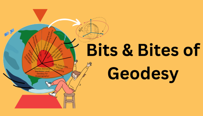
We introduce you to our new blog series Bits & Bites of Geodesy. In this blog post series, we aim to communicate small chunks of geodetic fun facts that are easy to digest. In short, posts meant for everyone, facts about geodetic measurement techniques, challenges, and concepts are presented. These bite-sized articles will unravel the often-overlooked details and intricate aspects of geodetic ...[Read More]


