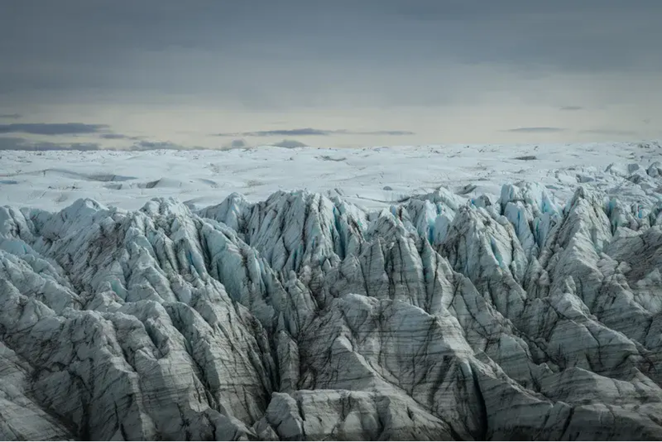
Greenland’s ice sheet holds enough water to raise global sea levels by over 7 meters, but predicting how much it will actually shrink remains challenging due to the massive computational cost of traditional models. Our latest research introduces machine learning-based downscaling that generates high-resolution climate fields orders of magnitude faster than conventional regional climate models. …[Read More]
Surface mass balance
Image of the Week – Seven weeks in Antarctica [and how to study its surface mass balance]
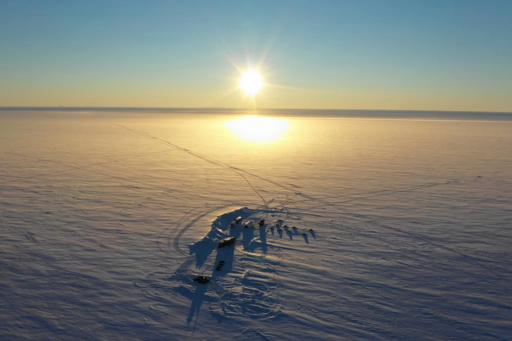
After only two months of PhD at the Laboratoire de Glaciologie of the Université libre de Bruxelles (ULB, Belgium), I had the chance to participate in an ice core drilling campaign in the Princess Ragnhild coastal region, East Antarctica, during seven weeks in December 2018 – January 2019 for the Mass2Ant project. Our goal was …[Read More]
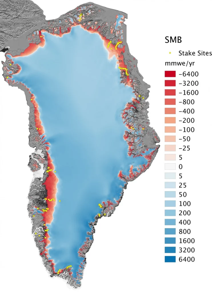
Image of the Week – A high-resolution picture of Greenland’s surface mass balance
The Greenland ice sheet – the world’s second largest ice mass – stores about one tenth of the Earth’s freshwater. If totally melted, this would rise global sea level by 7.4 m, affecting low-lying regions worldwide. Since the 1990s, the warmer atmosphere and ocean have increased the melt at the surface of the Greenland ice …[Read More]
An Antarctic Road Trip
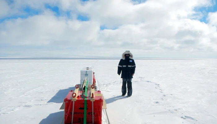
Working in the Arctic and Antarctic presents its own challenges. It is perhaps easy to imagine how a station situated close to the coast is resupplied: during the summer, one or more ships will arrive bringing fuel, food and equipment, but what about stations inland? Flying in supplies by aircraft is expensive and, in the …[Read More]