Have you ever stumbled upon a satellite picture showing observations of the Arctic or Antarctic? You often see a circle where there is no data around the exact location of the geographic pole – as you can see in our Image of the Week. A few days ago, I wanted to explain this to one of my friends and turned to my favourite search engine for help. My search turned up a tremendous amount of sto ...[Read More]
Image of the Week – The Polar Hole!
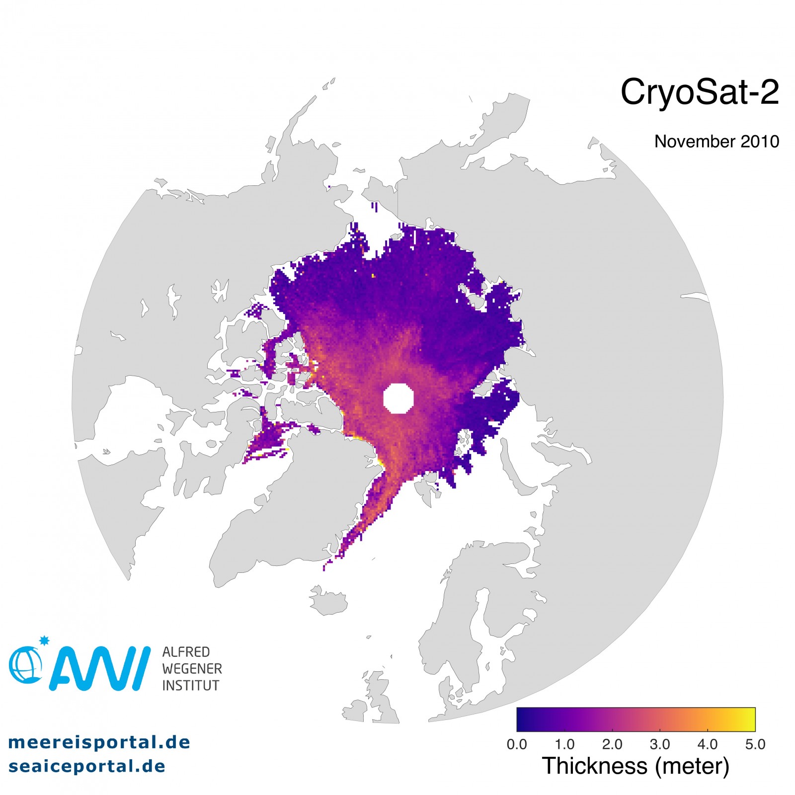
Figure 1: Mean sea-ice thickness for November 2010 from CryoSat-2 satellite measurements. [Credit: The data processing of CryoSat-2 sea-ice thickness is funded by the German Federal Ministry for Economic Affairs and Energy (Funding: 50EE1008) and data of November 2010 are provided by meereisportal.de (Funding: REKLIM-2013-04) ].