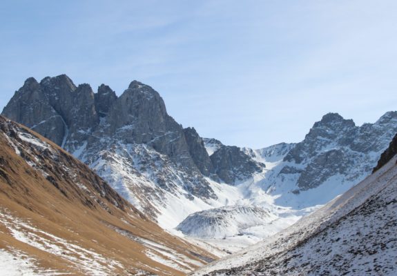
In this week’s blog, Levan Tielidze tells us about the first inventory of rock glaciers from the Greater Caucasus as an important basis for further research of geomorphology and palaeoglaciology in this region. What are Rock Glaciers? Rock glaciers are distinctive geomorphological landforms of frozen debris that are supersaturated with ice. The low ice velocity or certain speed of movement and per ...[Read More]
Enigmatic Climatic Event: Antarctic Cold Reversal
In this week’s blog, Levan Tielidze tells us about the insight into the response of mountain glaciers to the Antarctic Cold Reversal (ACR) event in New Zealand to better understand the climatic history of the Southern Hemisphere during the last deglaciation. The ACR was a cold period occurred in the Southern Hemisphere during the transition from the last glacial period to the current interglacial ...[Read More]
The intriguing order of cold terrains
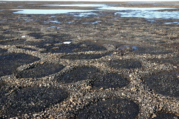
Do you know what the periglacial environment is? Well, the word periglacial refers to those environments which are somehow sculpted by seasonal freeze and thaw cycles. The alternation of freezing and thawing conditions can change the landscape, creating some spectacular landforms. Stone circles are certainly among the most mysterious and fascinating. Come and discover them! Some definitions Glacia ...[Read More]
A new glacier chronology from New Zealand
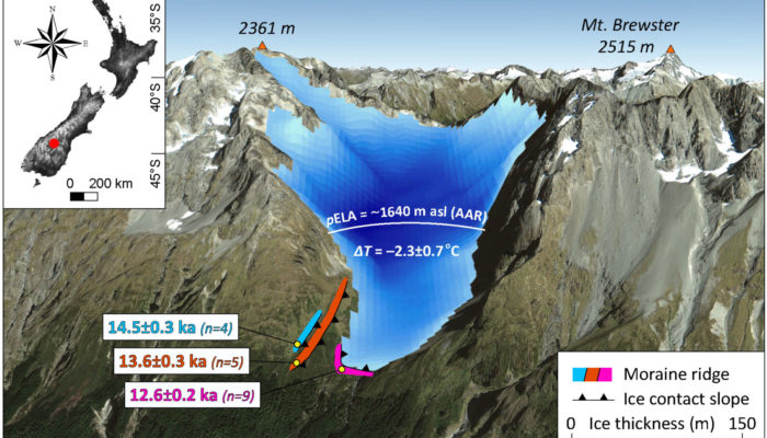
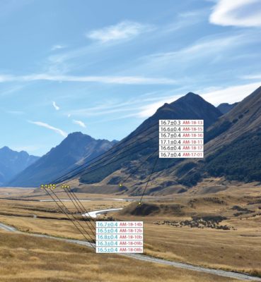
In this week’s blog, Levan Tielidze tells us about the new glacier history from the Southern Alps of New Zealand, an important piece of information to better understand the climatic history of Earth during the Quaternary, the current geologic period. Quaternary glaciations Geochronological dating of glacial moraines is useful for determining the extent and timing of past glaciation and for reconst ...[Read More]
Taiwan’s Icy Past
The beautiful island of Taiwan (as given by its colonial name, Ilha Formosa) is primarily known for its lush tropical forests, delicious culinary cuisine, bubbling hot springs, and a bustling cityscape. But, what does Taiwan have to do with the cryosphere? Before you resist the urge to leave and get a bubble tea, read on to find out about Taiwan’s cryospheric past! From cities to mountains Taiwan ...[Read More]
The new glacial geomorphological map from New Zealand
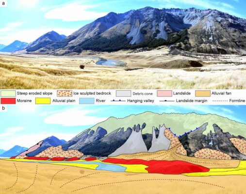
Geomorphological maps are a fundamental tool to represent landforms and understand how different morphological elements and agents shaped a natural landscape. They are also important as background information for many fields of research including ecology, forestry and of course, glaciology. In this week’s blog, Levan Tielidze tells us about the importance of mapping glacial geomorphology, presenti ...[Read More]
Running a live stream of proglacial processes
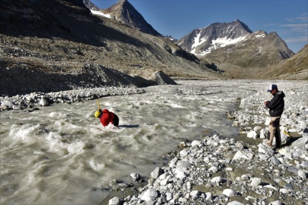
In Switzerland, nothing is really remote, but some places are more so than others. Dense infrastructure networks typically provide convenient access to research sites in the Alps where it is difficult to feel far away from home. However, this is not always the case… For us, our home for the summer is a bit different. We work at 2400 m above sea level in Southern Switzerland, in a narrow vall ...[Read More]
Image of the Week – Vibrating Ice Shelf!
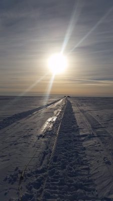
If you listen carefully to the Ekström ice shelf in Antarctica, a strange sound can be heard! The sound of a vibrating truck sending sounds waves into the ice. These sound waves are used to “look” through the ice and create a seismic profile of what lies beneath the ice surface. Read on to find out how the technique works and for a special Cryosphere Christmas message! What are we doing with this ...[Read More]
Image of the Week – It’s all a bit erratic in Yosemite!
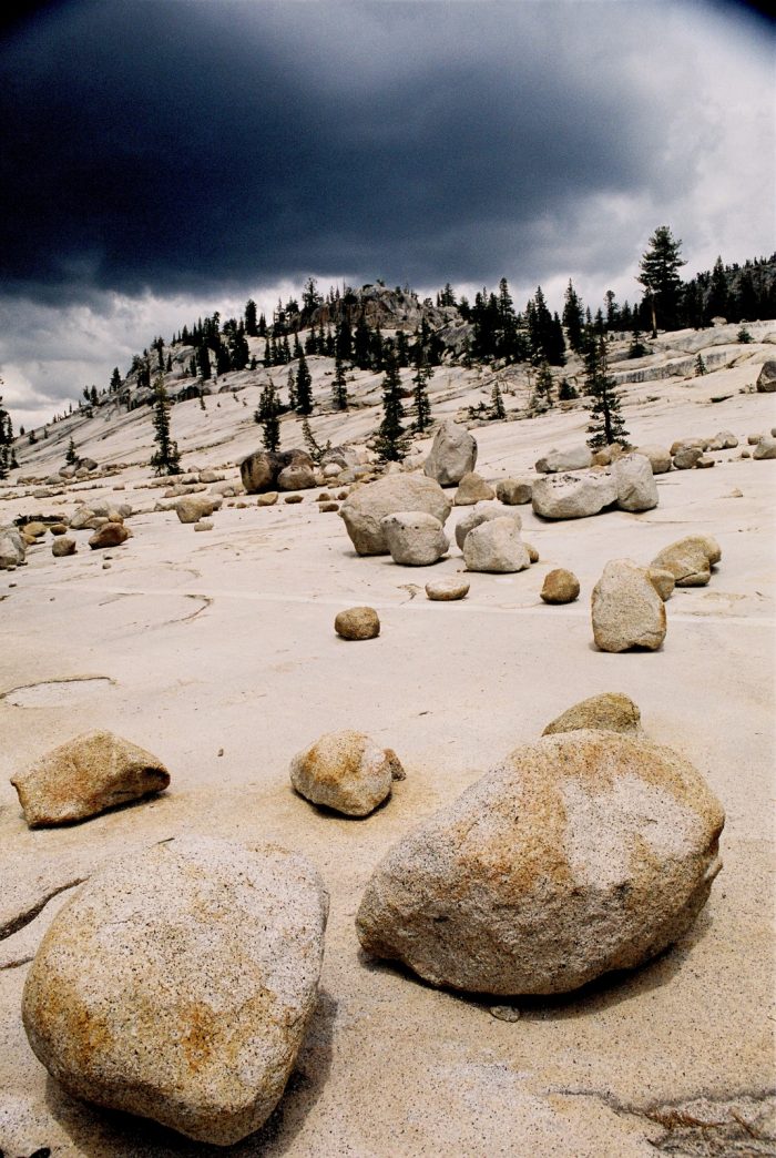
When you think of California, with its sun-soaked beaches and Hollywood glamour, glaciers may not be the first thing that spring to mind – even for ice nerds like us. However, Yosemite National Park in California’s Sierra Nevada is famous for its dramatic landscape, which was created by glacial action. With our latest image of the week we show you some of the features that were left behind b ...[Read More]
Image of the Week – Canyons Under The Greenland Ice Sheet!
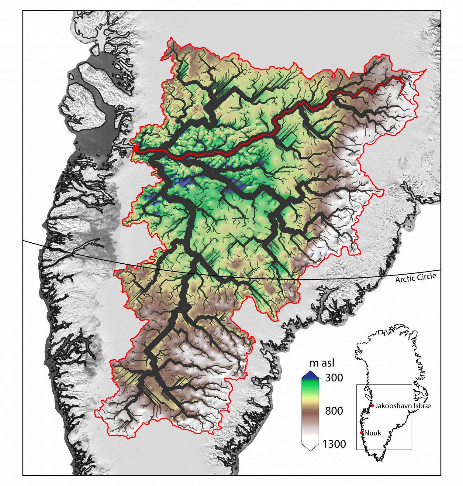
The Greenland Ice Sheet contains enough water to raise sea level by 7.36 meters (Bamber, et. al. 2013) and much of this moves from the interior of the continent into the oceans via Jakobshavn Isbræ – Greenland’s fastest flowing outlet glacier. An ancient river basin hidden beneath the Greenland Ice Sheet, discovered by researchers at the University of Bristol, may help explain the loca ...[Read More]