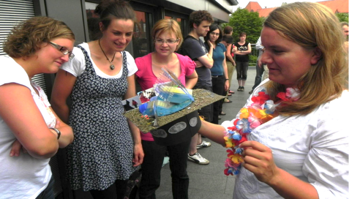
This miniseries features the tradition of ‘PhD hat’ making in German research institutes and universities. For those of you unfamiliar with this idea (as I once was), this is one of the final milestones a graduate student has before they are officially a “Dr.”. Upon the successful defense of a thesis, the labmates of the PhD student craft a graduation hat from a mishmash of scrap cardboard and mem ...[Read More]
Cryosphere Caps: PhD hats and the researchers that wear them – Episode 4

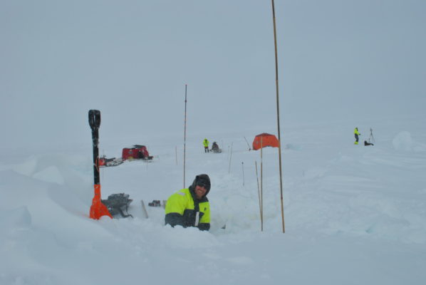
Figure 1 : Dorothea stands in front of a freshly excavated snow pit (near Ny-Ålesund, Svalbard) and gets ready to carry out an experiment as part of the data collection for her PhD. [Credit: Guy Hillyard]