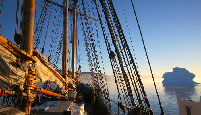
Going on a cruise for a month sounds tempting for most people and that is exactly how I spent one month of my summer. Instead of sunshine and 25 degrees, the temperature was closer to the freezing point on the thermometer and normal summer weather was replaced by milder weather conditions. The destination of the cruise was the western Nordic Sea and the east Greenland Margin. The ice2ice cruise wa ...[Read More]
Cruising for mud: Sediments from the ocean floor as a climate indicator
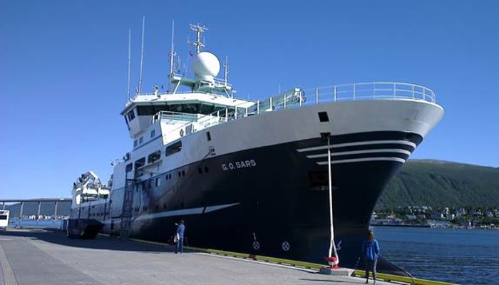
The Norwegian research vessel G.O. Sars after arriving in Tromsø with more than 200 m of sediment cores to document past abrupt climate change. Photo credit: Iben Koldtoft