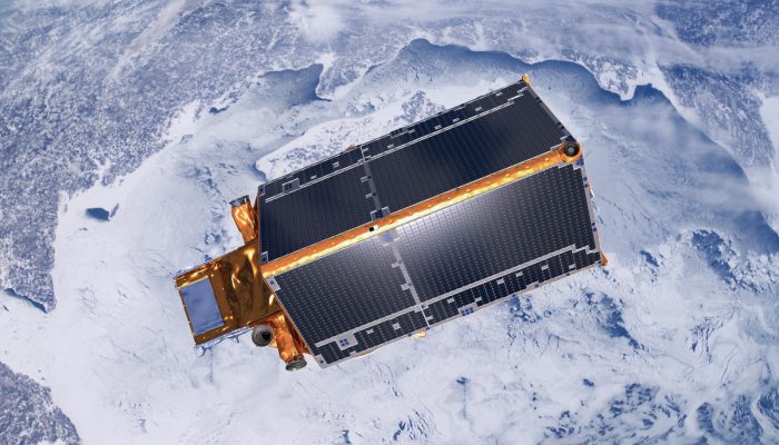
EGU Blogs

Highlights

VolcanicDegassing

The first volcanic eruption to be photographed?

The first volcanic eruption to be photographed?

In the digital era of instant communication, breaking news of volcanic eruptions usually arrive image-first. This year, spectacular eruptions of Calbuco (Chile), Fuego (Guatemala) and Etna (Italy) have all made it into the end-of-year ‘top tens‘, in glorious multicolour detail. But when was the first photograph taken that captured one instant during a volcanic eruption? And which was t ...[Read More]

GeoLog

Imaggeo on Mondays: Flying Rocks

Imaggeo on Mondays:  Flying Rocks

The picture was taken at a hillslope close to the glacier tongue of the Great Aletsch Glacier, the largest glacier in the Alps. With a length of 23 km it is located in the eastern Bernese Alps of Switzerland and composed of the three smaller glaciers Aletschfirn, Jungfraufirn and Eternal snow field converging at Concordia where the ice thickness was measured to be around 900m. The whole area was d ...[Read More]

GeoLog

Geoscience hot topics – Part II: the Earth as it is now and what its future looks like

Geoscience hot topics – Part II: the Earth as it is now and what its future looks like

What are the most interesting, cutting-edge and compelling research topics within the scientific areas represented in the EGU divisions? Ground-breaking and innovative research features yearly at our annual General Assembly, but what are the overarching ideas and big research questions that still remain unanswered? We spoke to some of our division presidents and canvased their thoughts on what the ...[Read More]

G
Geodesy

EGSIEM wants to use GRACE gravity field data for operational flooding and drought management

EGSIEM wants to use GRACE gravity field data for operational flooding and drought management

The terrestial water cycle leaves traces in the Earth’s gravity field The current onset of el Nino is raising hope in California to replenish some of its multiyear water deficit. Due to the warm pool of water on the East side of the Pacific, more rain, and consequently also larger potential for flooding is expected. At the other side of the Pacific, the water is colder than usual leading to ...[Read More]

CR
Cryospheric Sciences

Image of the Week: Atmospheric CO2 from ice cores

Image of the Week: Atmospheric CO2 from ice cores

The measurements of atmospheric CO2 levels at Manu Loa, Hawaii read 401.01ppm on the 7th of December this year. To understand the significance of this number, you just need to look at the figure above from the 4th IPCC report. It shows the changes in CO2 concentrations during the past 800,000 years based on ice core measurements. Values have fluctuated between 190ppm and 280ppm. In other words, bo ...[Read More]

GeoLog

The Sustainable Geoscientist – how many papers should academics really be publishing?

The Sustainable Geoscientist – how many papers should academics really be publishing?

In this guest blog post, Nick Arndt, Professor at the Institut des Sciences de la Terre, Grenoble University, reflects on the pressures on academics to publish more and more papers, and whether the current scientific output is sustainable. Imagine a highly productive car factory. Thousands of vehicles are built and each is tested as it leaves the factory; then it is stored in an enormous parking l ...[Read More]

BG
Biogeosciences

The Panamanian Isthmus is not entirely guilty after all!

The Panamanian Isthmus is not entirely guilty after all!

  “According to new research, the land bridge connecting Central and South America rose more than 10 million years earlier than originally thought”   Traditionally, closure of the Panama Isthmus has been deemed responsible for the co-occurrence of two major events: The large Pleistocene glaciations and the Great American Biotic Interchange (GABI). Existing evidence indicating a ca ...[Read More]

GeoLog

Imaggeo on Mondays: Annapurna snow avalanche

Imaggeo on Mondays: Annapurna snow avalanche

The Annapurna massif is located in an imposing 55 km long collection of peaks in the Himalayas, which behave as a single structural block. Composed of one peak (Annapurna I Main) in excess of 8000 m, a further thirteen peaks over 7000 m and sixteen more of over 6000 m, the massif forms a striking structure within the Himalayas. Annapurna I Main, the tenth highest peak in the world, is towering at ...[Read More]

GeoLog

GeoTalk: Anastasia Tezari – understanding space weather

GeoTalk: Anastasia Tezari – understanding space weather

Weather – it dictates the clothes we wear, is engrained in our culture, shapes our seasons and plays an important role in our daily lives. Not only that, its long term forecast and understanding of its variability, is the focus of much research as it holds one of the keys to understanding the Earth’s past and future. Earthly weather has an altogether less familiar, but not less fascinating a ...[Read More]