The countdown to EGU24 continues and we are now only DAYS away from the much anticipated conference week. With an event of such magnitude, it’s no surprise that some people, particularly first time attendees, may find it intimidating to navigate the conference. Don’t you worry… I’ve got you covered! So whether you’re attending the EGU General Assembly for the first or ...[Read More]
GeoLog
Outstanding Student and PhD-candidate Presentation (OSPP) top tips from previous winners and judges!
Every year at the General Assembly hundreds of students present their research with a lot of time and effort going into preparing these presentations. With the aim to further improve the overall quality of poster presentations and more importantly, to encourage Early Career Scientists to present their work in the form of a poster, the OSP Awards (as they were formerly known), were born. Since the ...[Read More]
GeoLog
What’s on for Early Career Scientists at EGU24
Early Career Scientists (ECS) – defined as a student, a PhD candidate, or a practising scientist who received their highest certificate (e.g. BSc, MSc or PhD) within the past seven years – compose about half of EGU’s members. Many of the sessions and events throughout the Assembly are built with our ECS attendees in mind, from introducing you to the Assembly and the Union as a whole or the numerou ...[Read More]
GeoLog
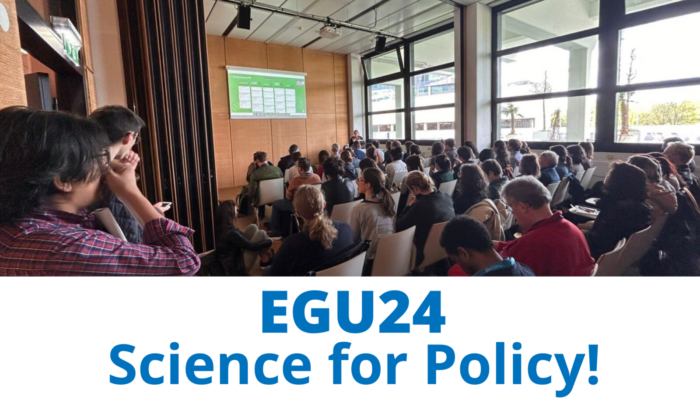
GeoPolicy: Dive into science for policy at EGU24
Each year, the EGU General Assembly hosts a wide range of scientific and skills-based sessions as that you can participate in to learn about new research, expand your network, diversify your expertise, and develop new skills! This includes an array of sessions that focus on science for policy, outlining how researchers can start engaging in policymaking processes, connect with decision makers, and ...[Read More]
GeoLog
EGU24 Photo Competition finalists – who will you vote for?
This year’s Photo Competition judging panel did a fantastic job of narrowing down the outstanding photo submissions to the EGU’s Photo Competition to just 10 finalists! The finalist photos are listed below and on the Imaggeo website where you can vote for them from Sunday 14 April until Thursday, 18 April 2024 – voting closes at 18:00 CEST. The three photos with the most votes will be ...[Read More]
GeoLog
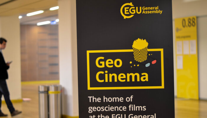
EGU24: The return of GeoCinema!
After a six year hiatus, GeoCinema is back for EGU24! As many of you know, doing science is very rarely just about the research, but also involves sharing that research in several forms and formats. For many talented researchers this means using films. Either working with a film-maker or creating something themselves, several of our EGU24 attendees submitted wonderful films this year, from science ...[Read More]
GeoLog
Playing by the rules: the EGU24 Code of Conduct
Are you ready?! EGU24, Europe’s biggest meeting for Earth, planetary and space science research, is now a little over a week away! As we ready our calendars to make the most of the conference week, we’d like to remind our community that EGU is strongly committed to the principles of inclusivity and diversity and we require our members and attendees to treat each other with basic courte ...[Read More]
GeoLog
Find your scientists: how to network at EGU24
The General Assembly is the nucleus around which EGU’s community gathers and connects, providing a week of opportunity to meet new people and reaffirm old bonds. Progress within science and its impact on society rises from the confluence of ideas and a diversity of voices; to facilitate meeting and discussion at the Assembly, #EGU24 offers a number of paths for building your network. Network ...[Read More]
GeoLog
5 ways to have a GreenEGU!
All too often organisations can claim sustainability initiatives that don’t really do much to help the environment, known as ‘greenwashing’. For several years, EGU has committed – both in terms of our resources and the research we support – to help create a cleaner and greener environment in real terms. One of the most significant initiatives is our switch to a fully hybrid meeti ...[Read More]
GeoLog
Dealing with data at EGU24? You need the Open Science and Data Help Desk!
Have you already encountered data questions such as: What data should I archive? What is FAIR? How do I write a good data management plan? or What does Open Science mean in practice? The Open Science & Data Help Desk is here for you at EGU24 in the Exhibition Hall X2 at #X212 and online! The Open Science & Data Help Desk features resources that can help researchers make their data and soft ...[Read More]

