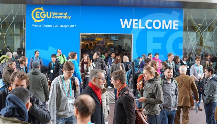
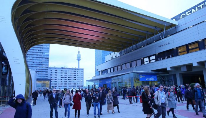
EGU Blogs

1920 search results for "researcher"

GeoLog

Geosciences Column: The dangers of an enigmatic glacier in the Karakoram

Geosciences Column: The dangers of an enigmatic glacier in the Karakoram

Nestled among the high peaks of the Karakoram,  in a difficult to reach region of China, lies Kyagar Glacier. It’s trident-like shape climbs from 4800 to 7000 meters above sea level and is made up of three upper glacier tributaries which converge to form an 8 km long glacier tongue. Until recently, it’s remoteness meant that studying its behaviour relied heavily on the acquisition of data by satel ...[Read More]

GeoLog

Imaggeo On Mondays: Halo

Imaggeo On Mondays: Halo

One of the main perks of being a geoscientist is that, often, research takes scientists all around the globe to conduct their work. While fieldwork can be hard and challenging it also offers the opportunity to see stunning landscapes and experiencing unusual phenomenon. Aboard the Akademik Tryoshnikov research vessel, while cruising the Kara Sea (part of the Arctic Ocean north of Siberia) Tatiana ...[Read More]

CR
Cryospheric Sciences

Image of the Week — Microbes munch on iron beneath glaciers

Image of the Week — Microbes munch on iron beneath glaciers

The interface between a glacier and its underlying bedrock is known as the subglacial zone. Here lie subglacial sediments, the product of mechanical crushing of the rock by the glacial ice. Despite their lack of sunlight, nutrients and oxygen, subglacial sediments host active and diverse communities of microorganisms. What we (don’t) know about subglacial microorganisms The past few decades ...[Read More]

GeoLog

March GeoRoundUp: the best of the Earth sciences from around the web

March GeoRoundUp: the best of the Earth sciences from around the web

Drawing inspiration from popular stories on our social media channels, as well as  unique and quirky research news, this monthly column aims to bring you the best of the Earth and planetary sciences from around the web. Major story While the March headlines might not have been dominated by a particular story, the state of the Earth’s climate has definitely been the overarching theme of the month. ...[Read More]

GM
Geomorphology

Report from the Spring School on “Statistical analysis of hyperspectral and high-dimensional remote-sensing data using R”, Jena, Germany, March 13-17, 2017

The Spring School on “Statistical analysis of hyperspectral and high-dimensional remote-sensing data using R” was organized by the GIScience group lead by Prof. Alexander Brenning and two researchers from his GIScience research group, Patrick Schratz and Dr. Jannes Münchow. The school brought together a diverse group of 28 researchers (e.g. geoscientists, forestry, environmental studies) at differ ...[Read More]

GeoLog

Imaggeo on Mondays: Lava highway in Kanaga Island

Imaggeo on Mondays: Lava highway in Kanaga Island

On a rare sunny day, Mattia Pistone (a researcher at the Smithsonian Institution in Washington DC) was able to capture this spectacular shot of Kanaga, a stratovolcano in the remote Western Aleutians, which is usually veiled by thick cloud. The Western Aleutians form a chain of 14 large and 55 small volcanic islands, belonging to one of the most extended volcanic archipelagos on Earth (1900 km), s ...[Read More]

CR
Cryospheric Sciences

Image of The Week – Ice Flows!

Image of The Week – Ice Flows!

Portraying ice sheets and shelves to the general public can be tricky. They are in remote locations, meaning the majority of people will never have seen them. They also change over timescales that are often hard to represent without showing dramatic images of more unusual events such as the collapse of the Larsen B Ice Shelf.  However, an app launched in the summer at the SCAR (Scientific Committe ...[Read More]

CR
Cryospheric Sciences

Quantarctica: Mapping Antarctica has never been so easy!

Quantarctica: Mapping Antarctica has never been so easy!

One of the most time-consuming and stressful parts of any Antarctic research project is simply making a map. Whether it’s plotting your own data points, lines, or images; making the perfect “Figure 1” for your next paper, or replying to a collaborator who says “Just show me a map!,” it seems that quick and effective map-making is a skill that we take for granted. However, finding good map data and ...[Read More]

WaterUnderground

What is a hydrogeologist?

What is a hydrogeologist?

Hydrogeologists are a diverse group, in part because we come to this discipline from so many different paths.  We come from different academic programs in engineering, geological sciences and environmental sciences.  These differences in backgrounds create a diversity of perspectives, which enriches hydrogeology and allows for dynamic collaborations.  Engineers and geophysicists are known for brin ...[Read More]

GeoLog

Geosciences Column: How El Niño triggered Indonesia corals die-off

Geosciences Column: How El Niño triggered Indonesia corals die-off

In the glistening waters of Indonesia, shallow corals – the rain forests of the sea – teem with life.  Or at least they did once. Towards the end of 2015 the corals started to die, leaving a bleak landscape behind. An international team of researchers investigated the causes of the die-off. Their findings, published recently in the EGU’s open access journal, Biogeosciences, are rather ...[Read More]