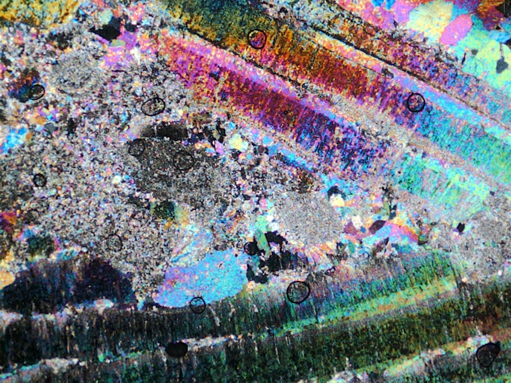
This is a transmitted light microscope image of a thin section – a 50-micron thick sliver of rock. This sample was collected from Jebel Hafit, a mountain which straddles the United Arab Emirates and Oman border. Jebel Hafit is approximately 900 m high and is made up of Eocene to Miocene age carbonate rocks which …[Read More]
Latest posts
Travels in Geology: A World Turned Upside Down
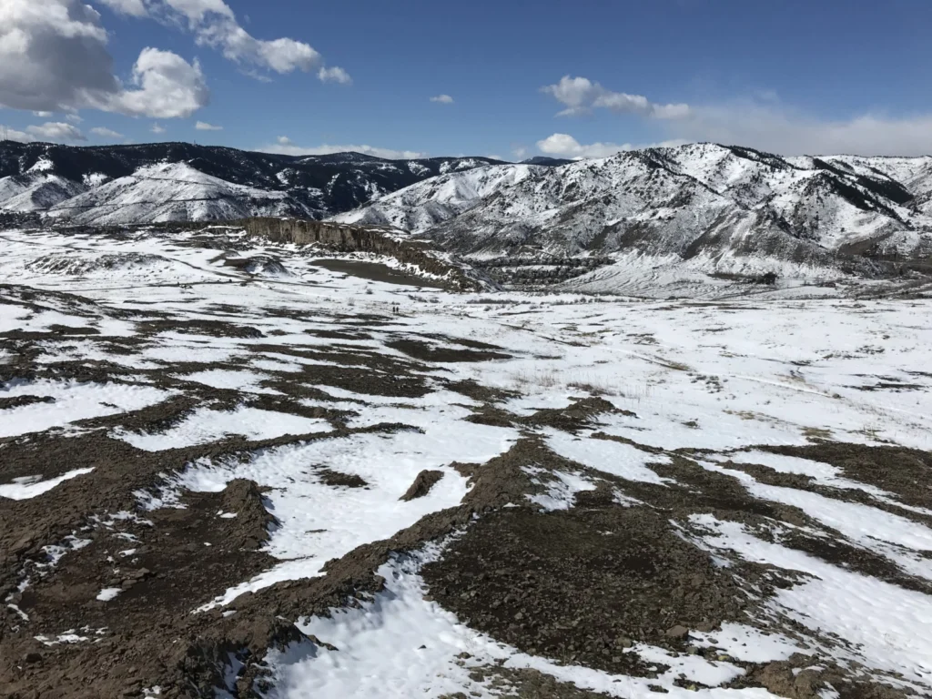
Last weekend, with a strict, stay-at-home coronavirus order looming on the horizon, I decided to practice social distancing by escaping on one last hike. Since I’m currently in Colorado, I chose to climb North Table Mountain, the remnant of an ancient basalt lava flow located on the outskirts of Denver. Locally this mesa, along …[Read More]
Creating Value for Safety: from earthquake preparedness to pandemic outbreak response
Disasters happen world-wide, almost every day. If you are an earthquake seismologist (or engineer), chances are good that seismic hazard is in your daily diet. Developing an earthquake scenario, estimating the seismic hazard, assessing the risk, regulating the land use: we usually conduct these tasks to limit the socio-economic impact of a seismic event. …[Read More]
Life of a scientist: When fieldwork doesn’t go to plan…
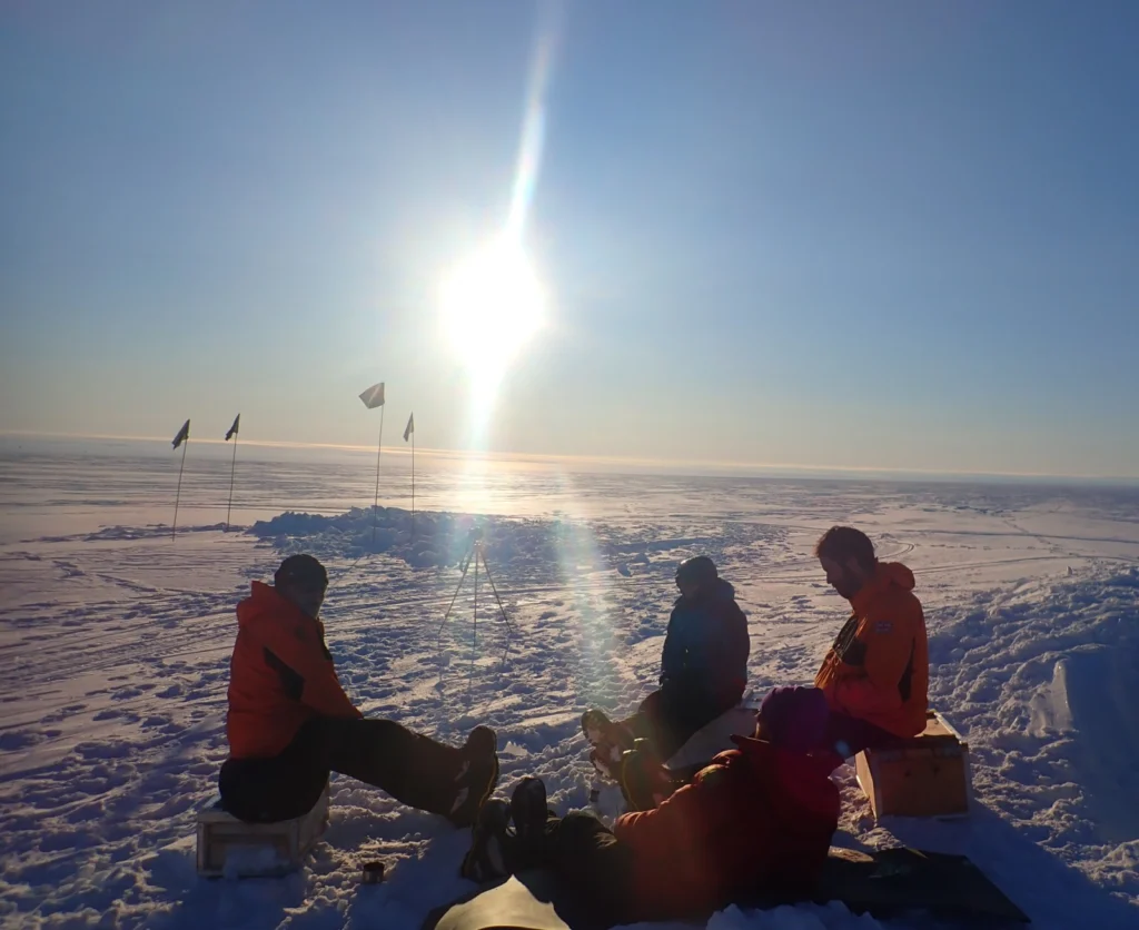
Climate research questions tend to focus on the future. What will global temperature be in 2100? Will extreme weather events become more frequent? When will sea level rise render coastal homes uninhabitable? But our understanding of climate processes first comes from observing the past: palaeoclimatology. To get these records, scientists often go on fieldwork to …[Read More]
The Sassy Scientist – Conference Call Candids
Now more than ever, Kaito is using conference calls to stay in touch (scientifically and otherwise) but is frustrated about the (lack of) etiquette. He ponders: What is the best way to set up a conference call? Dear Kaito, I suppose you like conference calls as much as I do. Not. I don’t know how …[Read More]
A message from EGU President Alberto Montanari on what geoscientists can do to help mitigate the impact of COVID-19
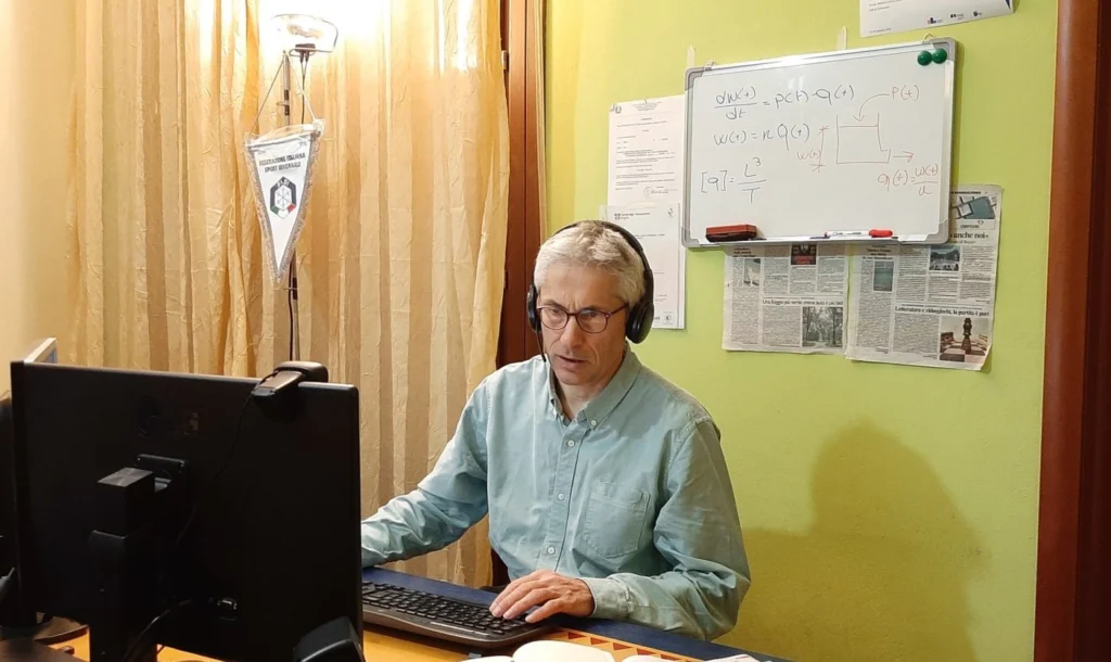
What can the Earth, planetary and space sciences do to help mitigate the impact of COVID-19? While I am considering this challenging question, I am looking out of the window of my home in Italy, in Reggio Emilia. I am close to the epidemic center of the Italian outbreak of COVID-19. I have been at …[Read More]
The Moon – A small but significant tale about impacts, basins, volcanism, and time
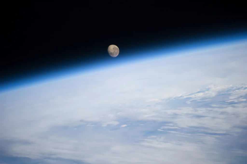
This week on the GD Blog we are taking a magical geodynamicist’s mystery tour to our planet’s Moon thanks to Tobias Rolf, Researcher at the Centre for Earth Evolution and Dynamics (CEED) at the University of Oslo, Norway (currently a Visiting Researcher at the Institute of Geophysics at the University of Münster, Germany). Imagine you …[Read More]
Blog column – PICTURE YOUR RESEARCH!
Working on natural hazards brings you to places (physically and virtually) you might never have discovered otherwise. You look at the world while asking questions about places, situations, relationships, and interactions of the natural processes surrounding you, inspiring your scientific potential. The Natural hazard Early Career Scientists Team is interested in your natural hazard research …[Read More]
Imaggeo On Mondays: Sulphur volcano
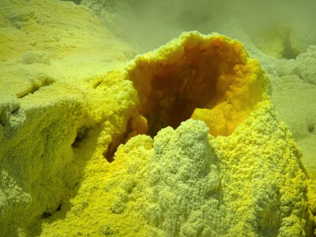
This photograph was taken in 2012 on a guided tour to Whakaari/White Island, an active volcano 50 km off the east coast of the North Island of New Zealand. The volcano lies on the northern end of the Taupo Volcanic zone and has possibly been active for the past 150,000 years. How dangerous this island …[Read More]
Radiocarbon rocks! – How rocks can tell us about the history of an ice sheet…
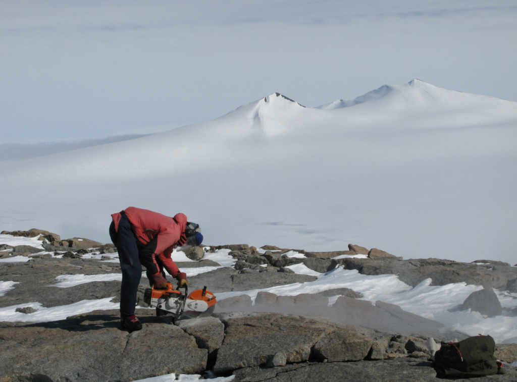
When most people hear the phrase “radiocarbon dating”, they think of measuring carbon to date organic material. But did you know that carbon is also produced within rocks, and that we can use it to learn about the past behaviour of a glacier? About 20,000 years ago it was colder and large parts of the …[Read More]