EGU Blogs

Latest posts

GD
Geodynamics

The Sassy Scientist – Easter Egging It

The Sassy Scientist – Easter Egging It
Clodagh has attended a conference or two. After missing out on last year’s EGU virtual general assembly, she seeks some advice to promote her science, and herself, out there: Can you prepare better for a virtual meeting compared to the ‘old way’ for physical presentations? Dear Clodagh, Top of the morning to ye. On such …[Read More]

HS
Hydrological Sciences

How do you picture female scientists?

How do you picture female scientists?

You might have heard about the film “Picture a scientist” by Sharon Shattuck & Ian Cheney. It shows the personal struggle of three women to overcome gender barriers in science. In doing so, it highlights three key issues: prejudices and biases against women related directly to the history of the university that have never been …[Read More]

GD
Geodynamics

The boundaries of plate modelling

The boundaries of plate modelling

This weeks post is all about the importance of boundaries. Plate boundaries that is. Jean-Christophe Wrobel-Daveau and Graeme Nicoll tell us why we should care where plate boundaries are and how they evolve through time, when attempting to reconstruct past plate motions. Global plate tectonic models are an incredible way to synthesise geological knowledge to …[Read More]

CL
Climate: Past, Present & Future

Presenting a new European loess map

Presenting a new European loess map

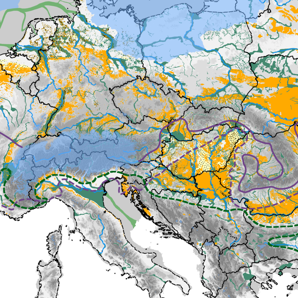
Loess is a silt-sized, aeolian sediment that was produced in large quantities in past geological eras of mid-latitude Europe and Asia, among others (Fig. 1). It is used in Quaternary science to infer about past climatic and environmental conditions. Generally, layers of loess formed during cold and dry periods, while soils formed within/on top the …[Read More]

GM
Geomorphology

The new glacial geomorphological map from New Zealand

The new glacial geomorphological map from New Zealand

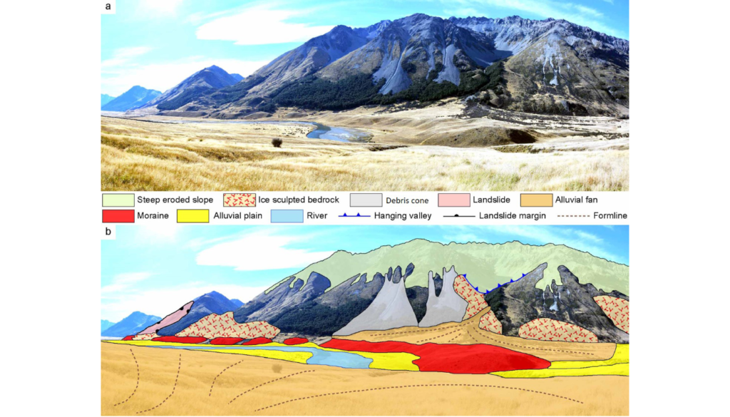
Glacial geomorphological mapping comparison in 3D. a – Moraine ridge in the middle section of the Ahuriri River valley with surrounding area. b – Key landscape elements are shown in the accompanying sketch. (Credit: Tielidze et al., 2021). Geomorphological maps are a fundamental tool to represent  landforms and understand how different morphological elements and agents …[Read More]

SM
Seismology

Seismology Job Portal

Seismology Job Portal

On this page, we regularly update open positions in Seismology for early career scientists. Do you have a job on offer? Contact us at ecs-sm@egu.eu Please, note that other available research positions are displayed on the EGU Jobs Portal. Special Thanks to Eric Löberich for researching job postings for the ECS.

GeoLog

GeoPolicy: How to achieve policy impact

GeoPolicy: How to achieve policy impact

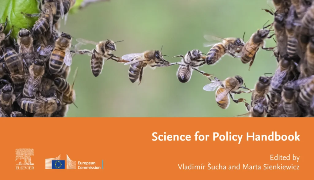
Last year, the European Commission’s Joint Research Centre (JRC) published their Science for Policy Handbook that provides advice on how to bring science to the attention of policymakers. The Handbook is divided into 19 Chapters covering different areas of science for policy as well as some of the challenges that scientists face when engaging with …[Read More]