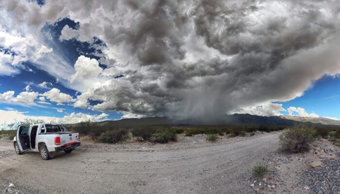
In the Sierra de Aconquija, a mountain range in the southern Central Andes of Argentina, strong storms often come and go at a moment’s notice, but they can have a long-lasting impact on the Earth’s surface. The thunderstorm cell featured in this photo formed in less than half an hour, giving all those nearby only a few minutes to take cover. Mitch D’Arcy, a geomorphologist and postdoctoral researc ...[Read More]
Imaggeo on Mondays: a storm is coming
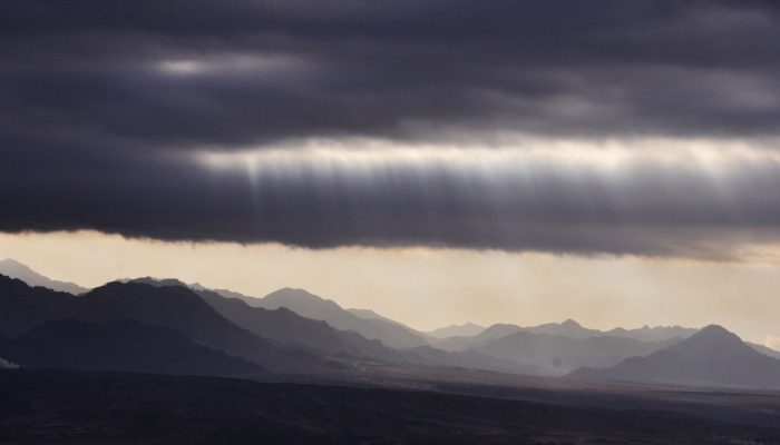
Coastlines globally are immensely diverse: from the beautifully topical and sun kissed beaches of the Caribbean, to the wet and misty British coastline, through to the raw and wild Alaskan shores, they are home to scores of flora and fauna; rich habitats shaped by powerful forces of nature. In stark contrast, some coastlines, (28,000 km worldwide to be precise) are dry almost barren places, where ...[Read More]
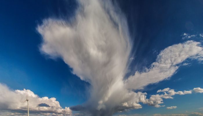
Imaggeo on Mondays: Isolated storm
Clouds and storms are formed when warm, moist air rises. This causes the air to expand and cool: forming clouds as the moisture condenses onto particles suspended in the air (called cloud condensation nuclei). Normally, air rises from surface heating, or when warm and cold air pockets collide, or if air is pushed upwards when passing over hills or mountains. If this heating, and subsequent rising, ...[Read More]
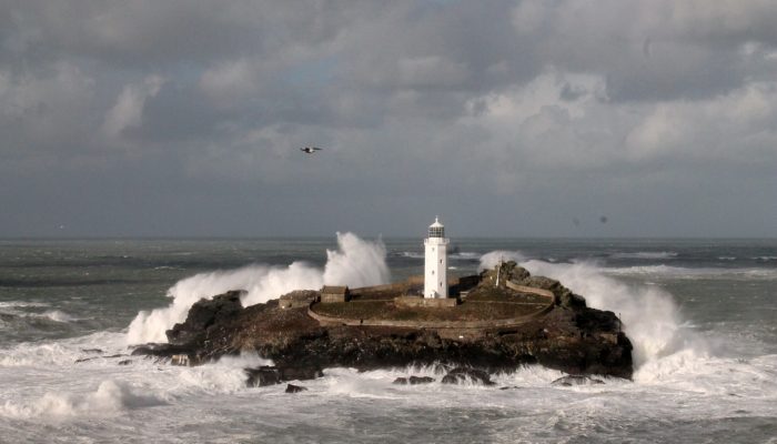
Imaggeo on Mondays: The British Winter Storms
This week’s imaggeo on Monday’s photography is Godrevy Lighthouse in North Cornwall (UK) experiencing the full force of the 2013/14 British Winter Storms which caused damage across the south west of the country. During mid-December 2013 to mid-February 2014 the UK was hit by six major storms bringing record precipitation, strong winds, huge waves and generating overall hazardous conditions. Despit ...[Read More]