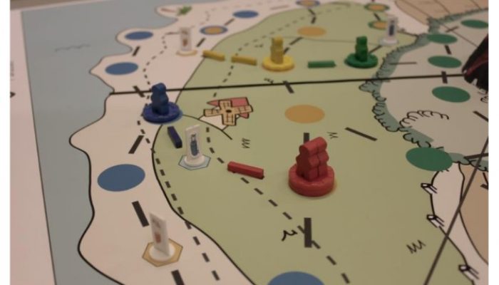
There is no better thing, on a cold and stormy winter’s evening, than to gather your friends for a night of games / board games. Fire blazing (if you have one), tasty snacks laid out and drinks poured, you are all set to indulge in a night of scheming (if you are playing battle ship), deceit (Cluedo), or even all out comedy (think Pictionary or Charades). The main purpose of the games you are like ...[Read More]
GeoTalk: A smart way to map earthquake impact

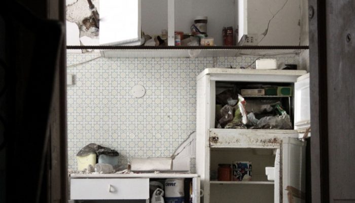
Last week at the 2016 General Assembly Sara, one of the EGU’s press assistants, had the opportunity to speak to Koen Van Noten about his research into how crowdsourcing can be used to find out more about where earthquakes have the biggest impact at the surface. Firstly, can you tell me a little about yourself? I did a PhD in structural geology at KULeuven and, after I finished, I started to ...[Read More]
When mountains collapse…

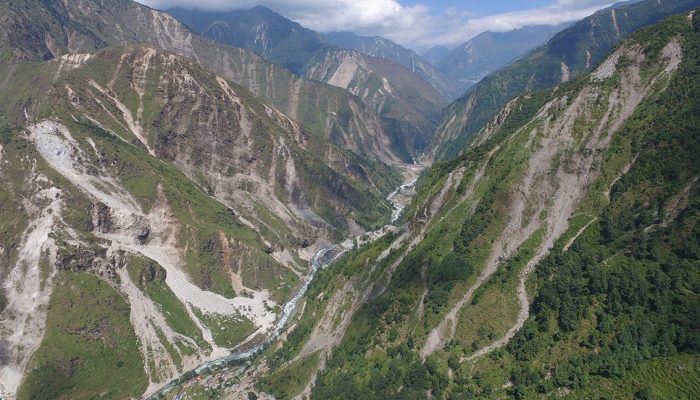
Jane Qiu, a grantee of the Pulitzer Center on Crisis Reporting, took to quake-stricken Nepal last month — venturing into landslide-riddled terrains and shadowing scientists studying what makes slopes more susceptible to failure after an earthquake. The journey proved to be more perilous than she had expected. What would it be like to lose all your family overnight? And how would you cope? It’s wit ...[Read More]
Counting the cost of natural disasters

Often, in the news, we are used to seeing disaster statistics reported as isolated figures, placed into context by the tragic human cost of floods, earthquakes and drought. The recent Ecuadorian earthquake that occurred on Saturday the 16th April, for example, was described as having an estimated economic cost of $820 million, which could rise as the scale of the disaster is revealed. But beyond t ...[Read More]

