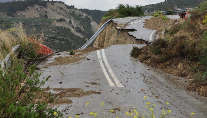
On May 18th 1980 Mount St Helens (an active stratovolcano of the Cascades located in the North West US), erupted explosively following a magnitude 5.1 earthquake. The quake triggered a devastating landslide which swept away the volcano’s northern flank – in what is the largest debris avalanche recorded on Earth to date. Removal of a section of the edifice depressurised the volcano’s magmatic ...[Read More]
Imaggeo on Mondays: “Vancouver! Vancouver! This is it!”
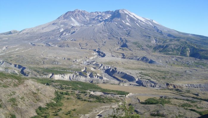
Mount St Helen's, Washington. Credit: Andy Smedley (distributed via imaggeo.egu.eu)