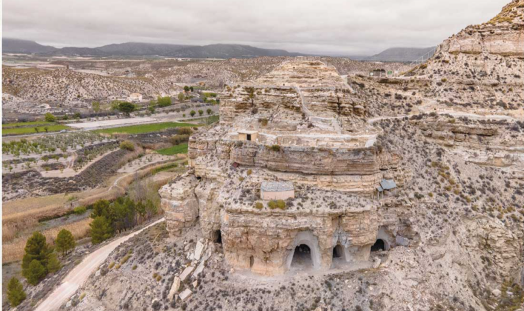
Alright, buckle up folks for this blog post, because we’re about to explore the wild ride of plate tectonics between the Iberian Peninsula (Eurasia plate) and North Africa (Nubia plate). These two plates are moving slowly at a moderate pace of 5-7 mm per year, which might not seem like much, but it’s enough to …[Read More]
natural hazard
May GeoRoundUp: the best of the Earth sciences from around the web
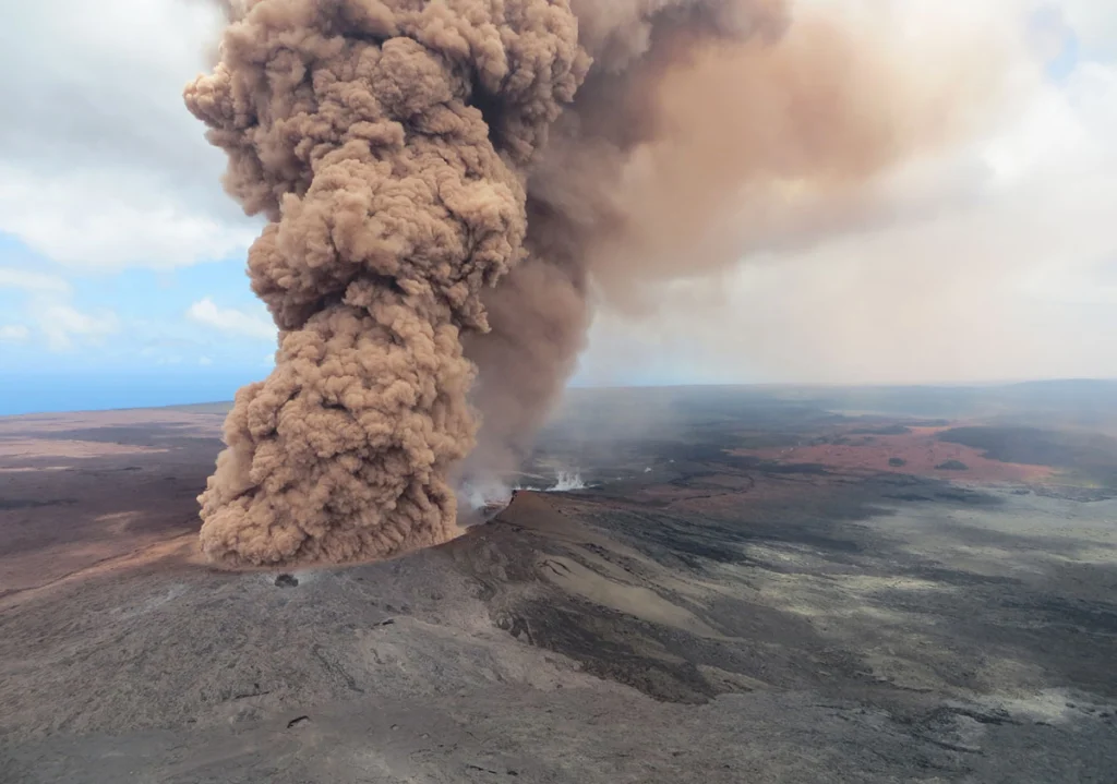
Drawing inspiration from popular stories on our social media channels, as well as unique and quirky research news, this monthly column aims to bring you the best of the Earth and planetary sciences from around the web. Major Story This month the Earth science media has directed its attention towards a pacific island with a …[Read More]
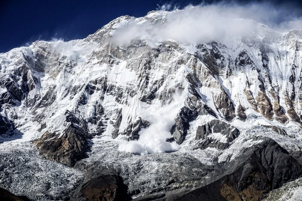
Imaggeo on Mondays: A dramatic avalanche from Annapurna South
The Annapurna massif is located in an imposing 55 km long collection of peaks in the Himalayas, which behave as a single structural block. Composed of one peak (Annapurna I Main) in excess of 8000 m, a further thirteen peaks over 7000 m and sixteen more of over 6000 m, the massif forms a striking …[Read More]
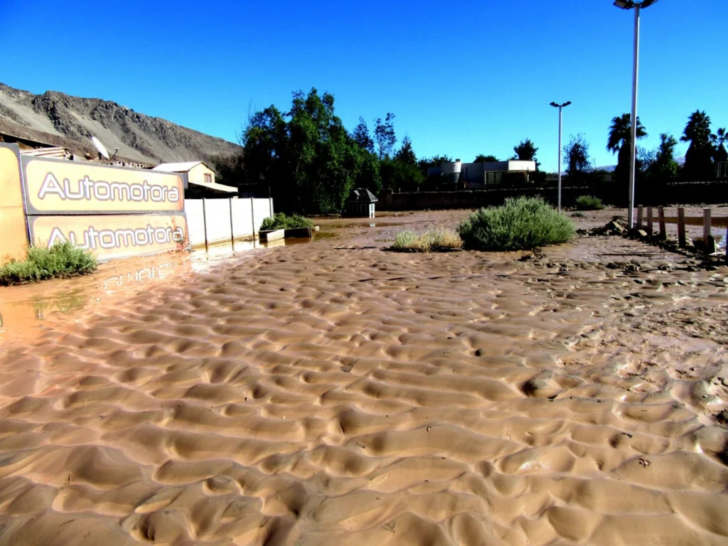
Imaggeo on Mondays: Sedimentary record of catastrophic floods in the Atacama desert
Despite being one of the driest regions on Earth, the Atacama desert is no stranger to catastrophic flood events. Today’s post highlights how the sands, clays and muds left behind once the flood waters recede can hold the key to understanding this natural hazard. During the severe rains that occurred between May 12 and 13, …[Read More]
Geosciences Column: Earthquakes and depleted gas reservoirs; what comes first?
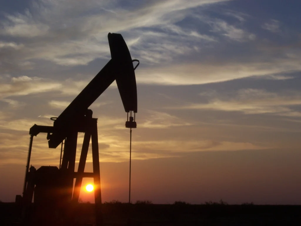
An ever growing population means the requirement for resources to fuel our modern lifestyles grows too. Be it in mining, oil/gas extraction or the improvement of renewable technologies, the boundaries of where and how we access resources are constantly being pushed. Previously inaccessible resources become viable prospects as demand increases and our technological know-how advances. …[Read More]
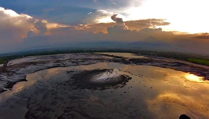
Imaggeo on Mondays: Lusi from the sky with drones
The picture shows a spectacular aerial view of a sunset over the Lusi mud eruption in East Java, Indonesia. Here thousands of cubic meters of mud, are spewed out every day from a 100 m sized central crater. Since the initial eruption of the volcano in 2006, following a 6.3 M earthquake, a surface of …[Read More]
Call for abstracts: The 9th Alexander von Humboldt Conference
The Alexander von Humboldt Conference is part of the EGU’s Topical Conference Series, and will be taking place in Istanbul, Turkey (24 – 28 March 2014). The aim of the meeting is to open a forum on natural hazard events that have a high impact and a large destructive potential, focussing on the Euro-Mediterranean Region in …[Read More]
Geosciences Column: Getting a handle on glacial lakes
Glacial lake outburst floods (GLOFs) are caused when masses of meltwater are released from behind a glacier moraine. Moraines are piles of unconsolidated debris that have either eroded from the glacier valley or have been deposited by melting glaciers. When they fail, a huge volume of water can be released, threatening populations further down the …[Read More]