GeoLog

imaggeo on mondays

Imaggeo on Mondays: Tasman Lake Down Under 
Imaggeo on Mondays: Tasman Lake Down Under 
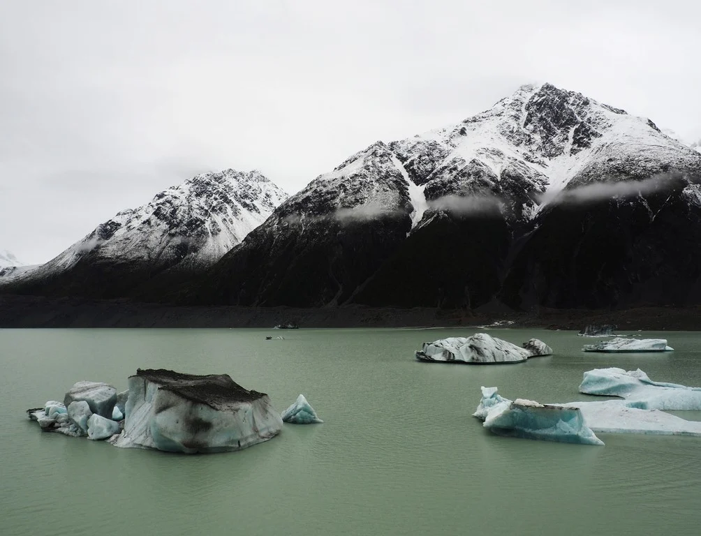
The Tasman Glacier Terminal Lake, seen in this photograph, lies in the Aoraki Mount Cook National Park in New Zealand’s south island. The photographer, Martina Ulvrova, stated she “finally got to see the largest glacier in New Zealand after several days of heavy rain, during which the landscape was bathing in mist”. The Tasman Glacier is 23 km long and is surrounded by a terminal proglacial lake w ...[Read More]

Imaggeo on Mondays: Robberg Peninsula – a home of seals

Imaggeo on Mondays: Robberg Peninsula – a home of seals

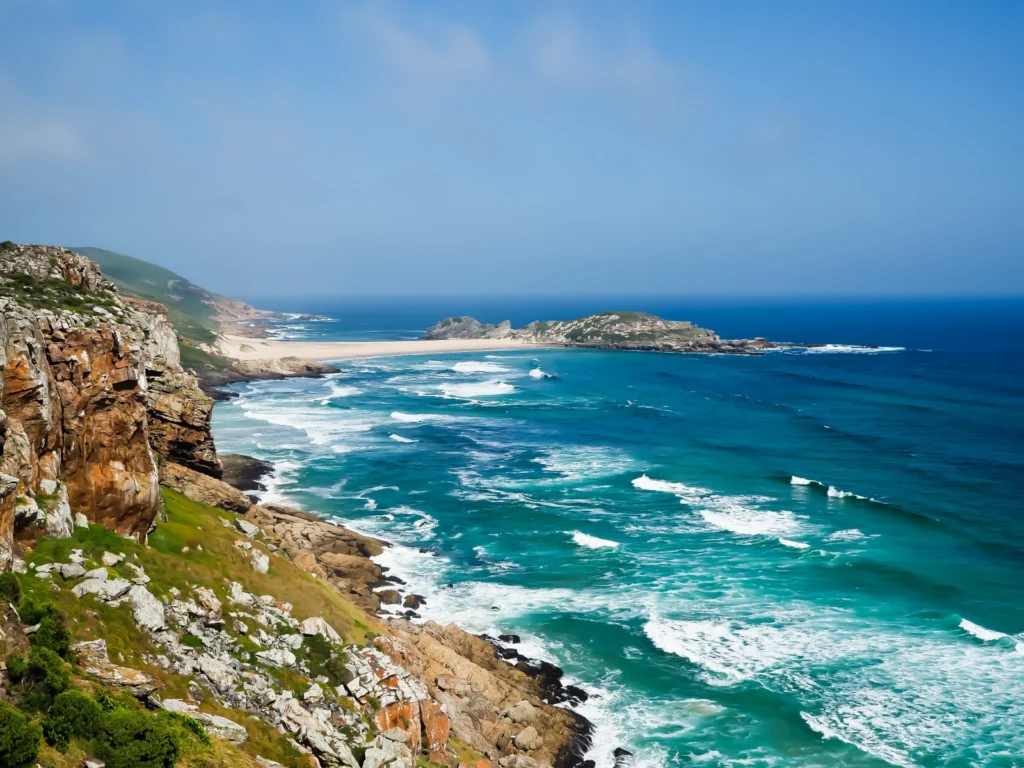
This picture is taken from the Robberg Peninsula, one of the most beautiful places, and definitely one of my favorite places in South Africa. The Peninsula forms the Robberg Nature Reserve and is situated close to the Plettenberg Bay on the picturesque Garden Route. “Rob” in Dutch means “seal”, so the name of the Peninsula is translated as “the seal mountain”. T ...[Read More]

Imaggeo on Mondays: Snow folded by advancing lava

Imaggeo on Mondays: Snow folded by advancing lava

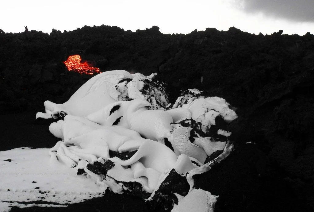
The photograph shows the interaction of the first snow and an active lava flow during the 2014 / 2015 Holuhraun eruption in Iceland. The first snow fell onto a ground covered by fine black ash on 26 September 2014. While the meter thick lava flow advanced a few meters per day, it neither melted the snow nor flowed on top of it. Instead, it pushed a layer of centimetre-thick snow and millimetre-thi ...[Read More]

Imaggeo on Mondays: Decreasing Moon

Decreasing Moon Imaggeo

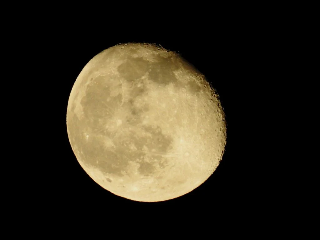
This picture shows the decreasing Moon on May 6, 2015, two days after the full Moon, as viewed from Hamburg, Germany. There are still 96.4% of the lunar front illuminated. The Moon does not glow on its own, but its surface reflects the sunlight. The Sun always illuminates a complete half of our natural satellite, which, in its orbit around our planet, always turns its face (which we see at full Mo ...[Read More]

Imaggeo on Mondays: The best of imaggeo in 2017

Imaggeo on Mondays: The best of imaggeo in 2017

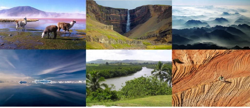
Imaggeo, our open access image repository, is packed with beautiful images showcasing the best of the Earth, space and planetary sciences. Throughout the year we use the photographs submitted to the repository to illustrate our social media and blog posts. For the past few years we’ve celebrated the end of the year by rounding-up some of the best Imaggeo images. But it’s no easy task to pick which ...[Read More]

Imaggeo on Mondays: New life on ancient rock

Imaggeo on Mondays: New life on ancient rock

For the start of a new year, we bring you a photograph featuring some of the oldest rocks in the world but bursting with new life. The image, taken by Gerrit de Rooij, of the Helmholtz Centre for Env. Res. – UFZ, comes complete with an informative caption which we’ve included below. May the new year be successful for all our readers. After two days of canooing in the rain on lake Juvul ...[Read More]

Imaggeo on Mondays: Happy holidays!

Imaggeo on Mondays: Happy holidays!

Along with this magestic sunlit reindeer, photographed on a hilltop in one of the expedition​s​ on the Yamal Peninsula, EGU wishes all our readers happy holidays and very warm wishes for 2018. And for a chance to be featured on GeoLog throughout the new year, don’t forget to submit your field and lab based photographs and images to imaggeo: our open access image repository. All geoscientists ...[Read More]

Imaggeo on Mondays: Of ancient winds and sands

Imaggeo on Mondays: Of ancient winds and sands

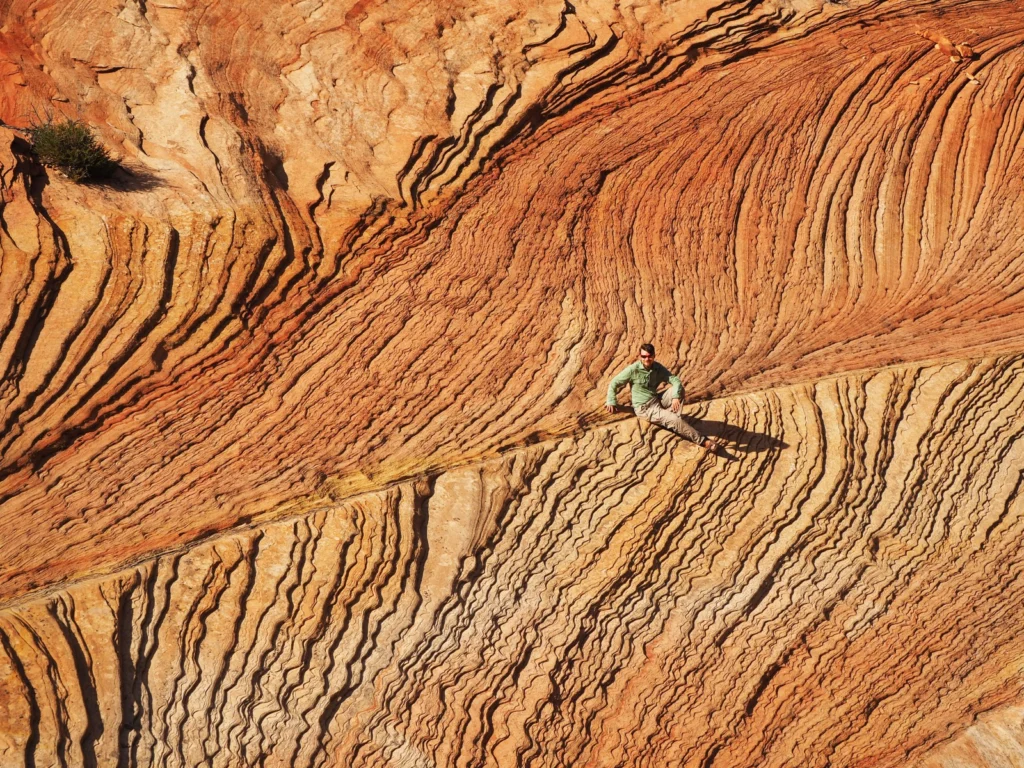
Snippets of our planet’s ancient past are frozen in rocks around the world. By studying the information locked in formations across the globe, geoscientist unpick the history of Earth. Though the layers in today’s featured image may seem abstract to the untrained eye, Elizaveta Kovaleva (a researcher at the University of the Free State in South Africa) describes how they reveal the secrets of anci ...[Read More]

Imaggeo on Mondays: Isolated atoll

Imaggeo on Mondays: Isolated atoll

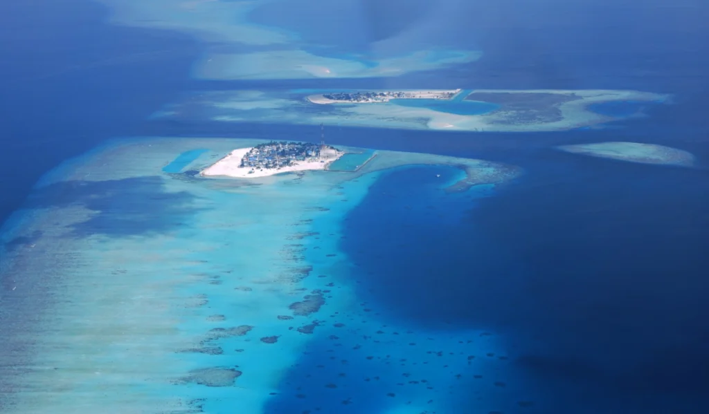
Covering a total area of 298 km², the idylic natural atolls and reefs of the Maldives stretch across the Indian Ocean. The tropical nation is famous for it’s crystal clear waters and picture perfect white sand beaches, but how did the 26 ring-shaped atolls and over 1000 coral islands form? Coral reefs commonly form immediately around an island, creating a fringe which projects seawards from the sh ...[Read More]

Imaggeo on Mondays: Low tide at Alexandra Fjord

Imaggeo on Mondays: Low tide at Alexandra Fjord

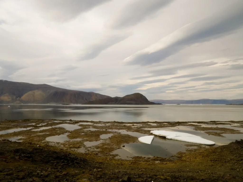
Today’s post takes us to the far northern reaches of our planet, to a desert like nothing you’ve seen before. This picture is a view to the north across Alexandra Fjord, on the east coast of Ellesmere Island, in the Canadian High Arctic, with Sphynx island in the middle of the fjord. The south shore of Alexandra Fjord includes a polar oasis, an area of tundra vegetation and relatively mild climati ...[Read More]