Hi Ronja and Emily, thank you for agreeing to doing this interview. Could you tell us briefly about your background and how you came to research your field? Emily: I have an environmental science/physical geography background and I have been working with an ice sheet model during and after my PhD to understand how glaciers …[Read More]
glacier
Imaggeo On Monday: the EGU Photo Competition – capture a moment in time.
In 2010 EGU held our first annual Photo Competition at the General Assembly in Vienna. Since then hundreds of photos have been shared on imaggeo by geoscientists and researchers just like you, with a lucky few being selected each year to be highlighted during the meeting and voted on by our members. These images …[Read More]
Imaggeo On Monday: A meander in the meltwater valley
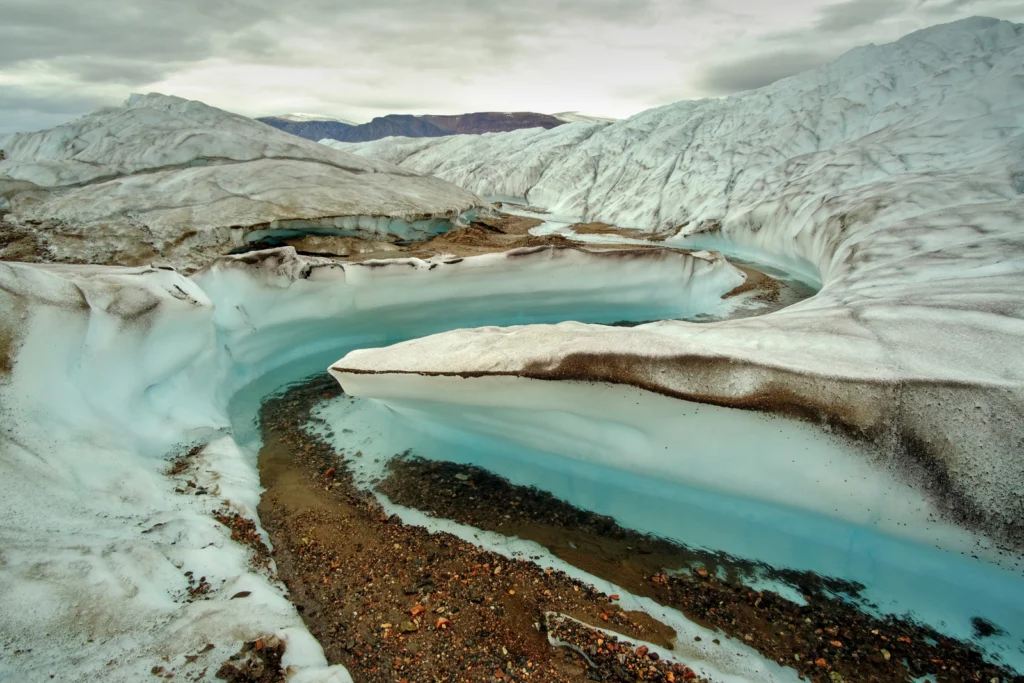
At the edge of the Greenland Ice Sheet, surface melt releases old layers of dust, that have travelled thousands of years into the ice. Under sunny weather, the dust heats up with radiation, melts the ice underneath, and thus accumulates in tiny potholes and meltwater creeks. However, this photo was taken after a rainy day. …[Read More]
Imaggeo On Monday: Contorted Streams on the Gates Glacier
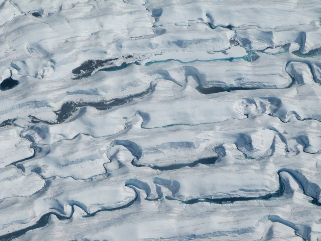
Annual ridges and troughs (called wave ogives) are formed as the ice of the Gates Glacier (in Alaska’s Wrangell Mountains) flows through a steep icefall. Down-glacier, as the ice melts, the rushing meltwater is funnelled into streams, carving ice canyons as it flows, but ultimately directed by these topographic constraints. Description by Allen Pope, …[Read More]
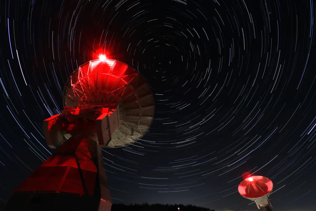
Imaggeo On Monday: Onsala Twin Telescopes
“The Onsala Twin Telescopes are part of the global geodetic Very Long Baseline Interferometry (VLBI) network. Radio telescopes all around the globe are observing extra-galactic radio sources simultaneously to determine Earth orientation parameters, source positions and station coordinates, as well as velocities. Geodetic Very Long Baseline Interferometry is used to maintain the International Terrestrial Reference …[Read More]
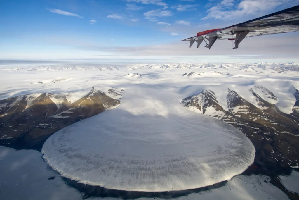
Imaggeo On Monday: Elephant Foot Glacier in Greenland from a Twin Otter perspective
“I was told that there will be a piedmont glacier on the way from Station Nord, a Danish military base in northeast Greenland, to our destination in no-man’s-land next to the 79°N Glacier. On half the way, we passed the beautiful Elephant Foot Glacier, named after its symmetric shape originating from the viscous flow of …[Read More]
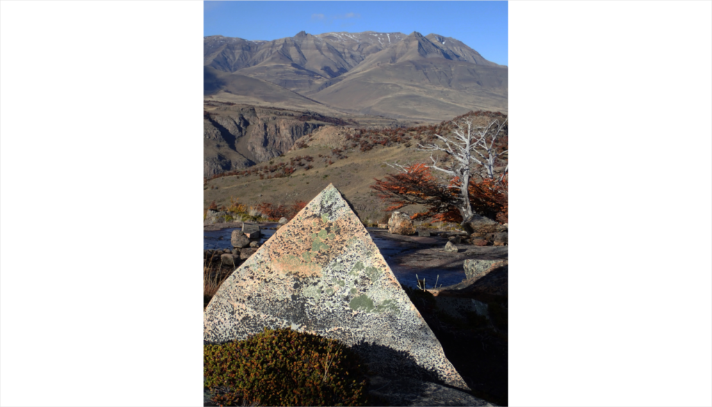
Imaggeo On Monday: Rock pyramid shaped by weathering
The almost perfect rock pyramid in the foreground was formed by physical weathering and found in the Los Glaciares National Park in southern Argentina. The block was deposited on top of a rock surface polished by glacial erosion. The pyramidal peaks in the background are also the result of glacial erosion, albeit on a much …[Read More]
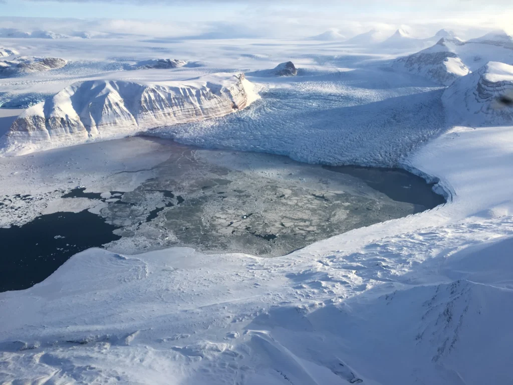
Imaggeo On Monday: Konsfjorden and Kronebreen glacier
Taken shortly after our departure from Ny-Ålesund after our first “Lost Meteorites” field trial in Greenland testing new equipment that can be used to discover ‘missing’ iron meteorites in Antarctica, the return flight gave incredible views of the surrounding landscape. This photo was taken looking down to the icy waters of Kongsfjorden on the west …[Read More]
Imaggeo on Mondays: The glacier surviving climate change
Human impacts on the climate are nowadays clearly discernible, and the changes to our climate that previously happened in geologic time scales are currently happening during the span of a human lifetime. Our planet is warming and temperature today is now more than 1°C higher than it was in the pre-industrial world and rises by …[Read More]
Imaggeo on Mondays: A walk at the glacier
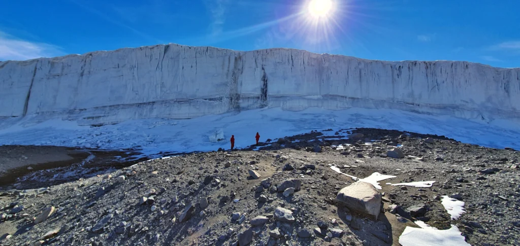
In 2012 I had the opportunity to help lead a teaching excursion to the Norwegian archipelago Svalbard. On this trip, geography students from the Ruhr-University of Bochum in Germany had the chance to learn more about the nature of this fascinating island. In addition to Svalbard’s climatology and the wildlife, the region’s glaciology and geomorphology …[Read More]