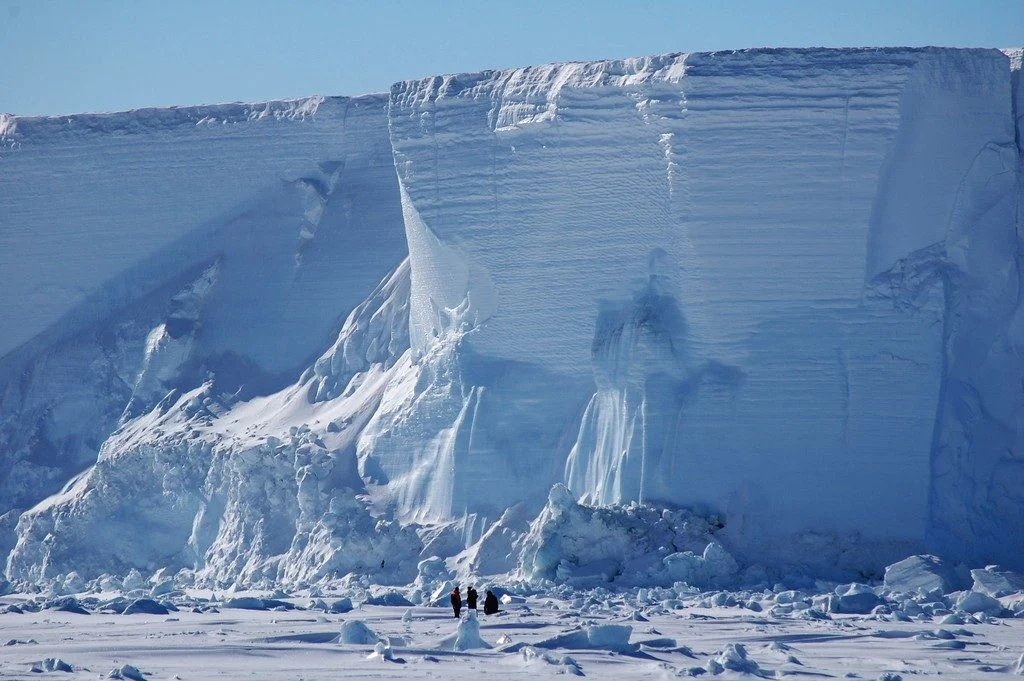
This was taken during a study, undertaken by me and my colleagues, on the sea ice of McMurdo Sound, Antarctica. We designed the project to document how supercooled water carrying suspended ice crystals flows along its pathway towards the open ocean. Ultimately, this work aims to assess the Ross Ice Shelf’s contribution of local melt …[Read More]
fieldwork
Imaggeo on Mondays: The calm before the storm
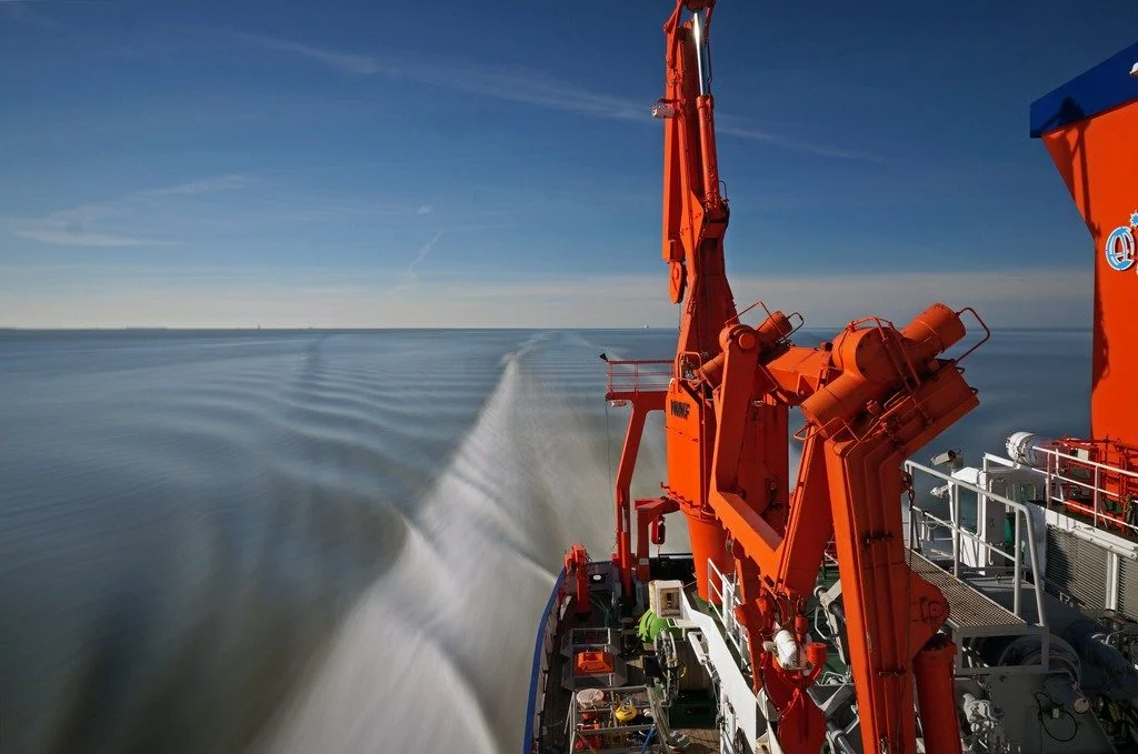
The picture was taken during the 2015 research cruise HE441 in the southern German Bight, North Sea. It features the research vessel Heincke, on a remarkably calm and warm spring day, forming a seemingly steady wake. The roughly 55 metre long FS Heincke, owned by the German federal government and operated by the Alfred Wegener …[Read More]
Imaggeo on Mondays: Exploring ice in the deep
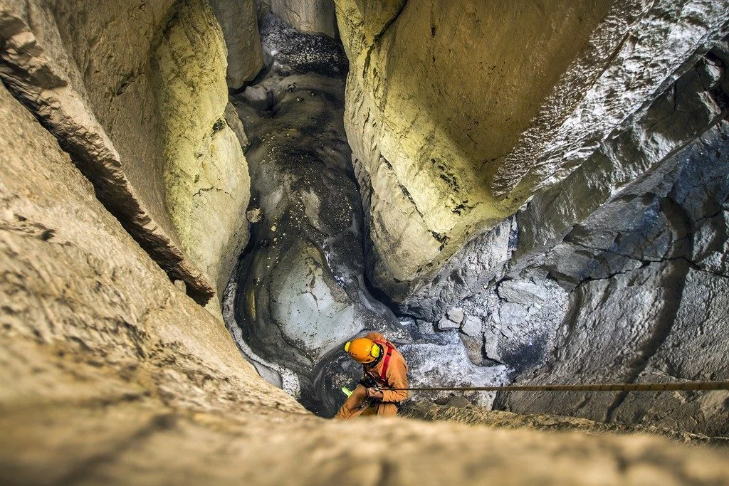
The occurrence of sporadic permafrost in the Alps often needs challenging fieldwork in order to be investigated. Here in the high altitude karstic plateau of Mt. Canin-Kanin (2587 m asl) in the Julian Alps (southeastern European Alps) several permanent ice deposits have been recently investigated highlighting how also in such more resilient environments global warming …[Read More]
Imaggeo on Mondays: On the way to Tristan’s penguins
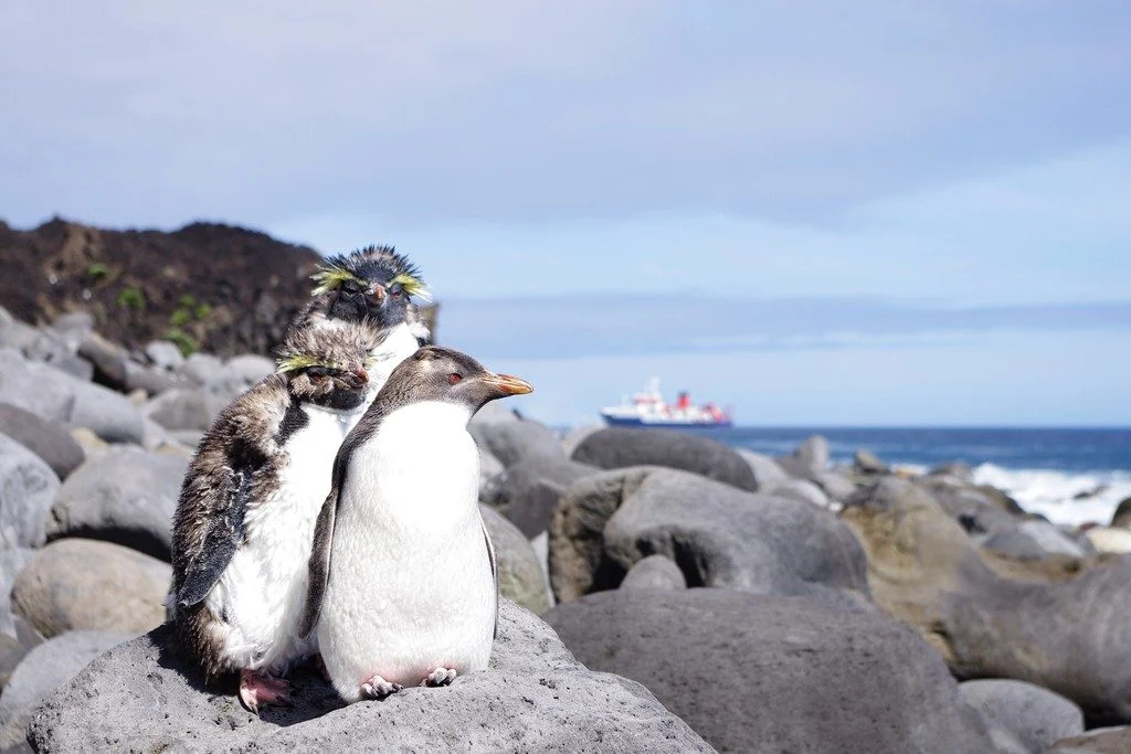
Tristan da Cunha is a remote volcanic island in the south Atlantic Ocean. In fact, it is the most remote inhabited archipelago in the world. Tristan is still volcanically active; the last time it erupted was in 1961. After the eruption, which luckily did not have any casualties, the whole population of around 260 people …[Read More]
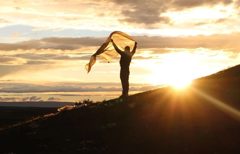
Imaggeo on Mondays: In-tents Icelandic sunset
This photograph was taken at the campsite near lake Mỳvatn during a field trip to Iceland. Every year a group of students from Wageningen University travels from the Netherlands to Iceland for a weeklong excursion as part of a course on catchment hydrology. The aim of the trip is to provide students with real life …[Read More]
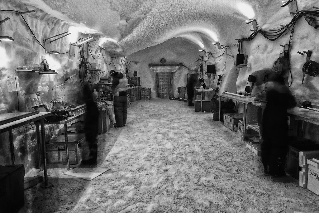
Imaggeo on Mondays: Science in the Arctic trenches
Pictured here are climate scientists processing ice core samples in the East Greenland Ice-core Project (EastGRIP) science trench 10 m under the surface of the Greenland ice cap. The trenches of this ice core camp require minimum building materials, utilising giant inflatable balloons that are dug in and covered with snow. The snow is left …[Read More]
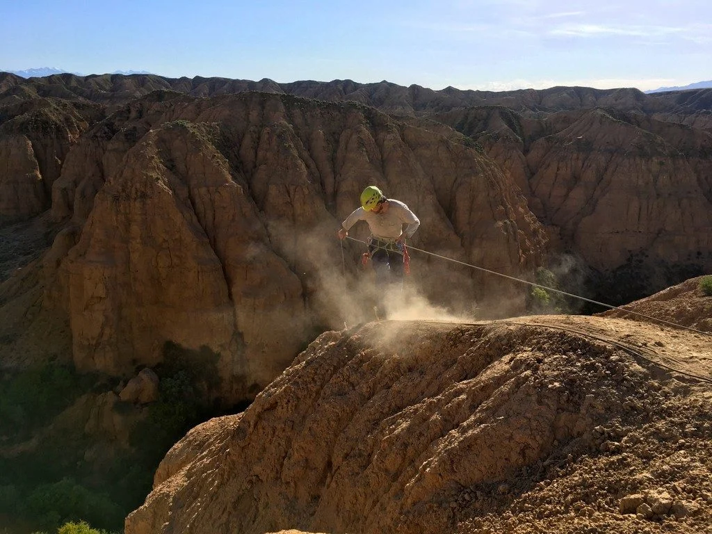
Imaggeo on Mondays: Probing the Pliocene
The heights we go to for science… This photograph shows a member of our team preparing to abseil down a cliff in the Charyn Canyon, in the Ili River basin of southeast Kazakhstan. The Charyn River and its tributaries, a branch of the Ili River north of the Tien Shan Mountains, have cut canyons up …[Read More]
Last chance to enter the EGU Photo Contest 2018!
If you are pre-registered for the 2018 General Assembly (Vienna, 8 -13 April), you can take part in our annual photo competition! Winners receive a free registration to next year’s General Assembly! But hurry, there are only a few days left to enter! Every year we hold a photo competition and exhibit in association with our open access …[Read More]
Imaggeo on Mondays: Low tide at Alexandra Fjord
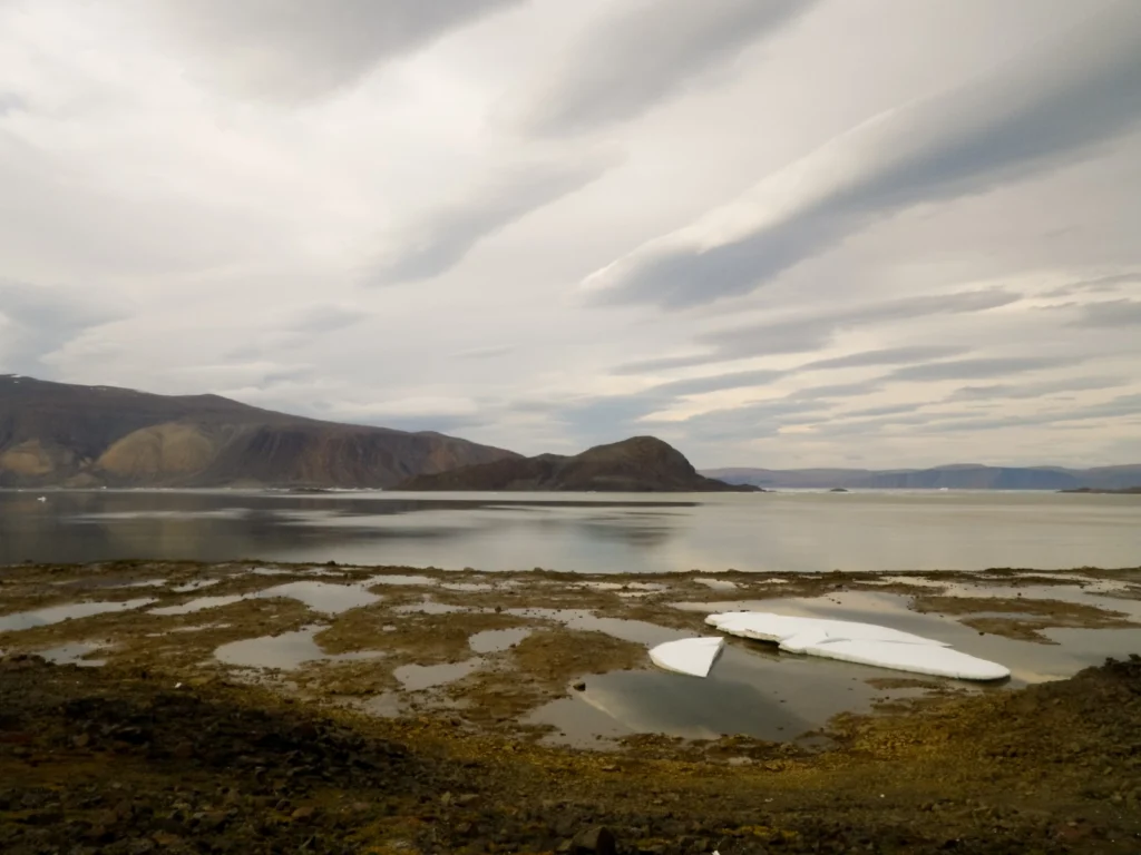
Today’s post takes us to the far northern reaches of our planet, to a desert like nothing you’ve seen before. This picture is a view to the north across Alexandra Fjord, on the east coast of Ellesmere Island, in the Canadian High Arctic, with Sphynx island in the middle of the fjord. The south shore …[Read More]
Imaggeo on Mondays: An epic ‘house’ move across the ice
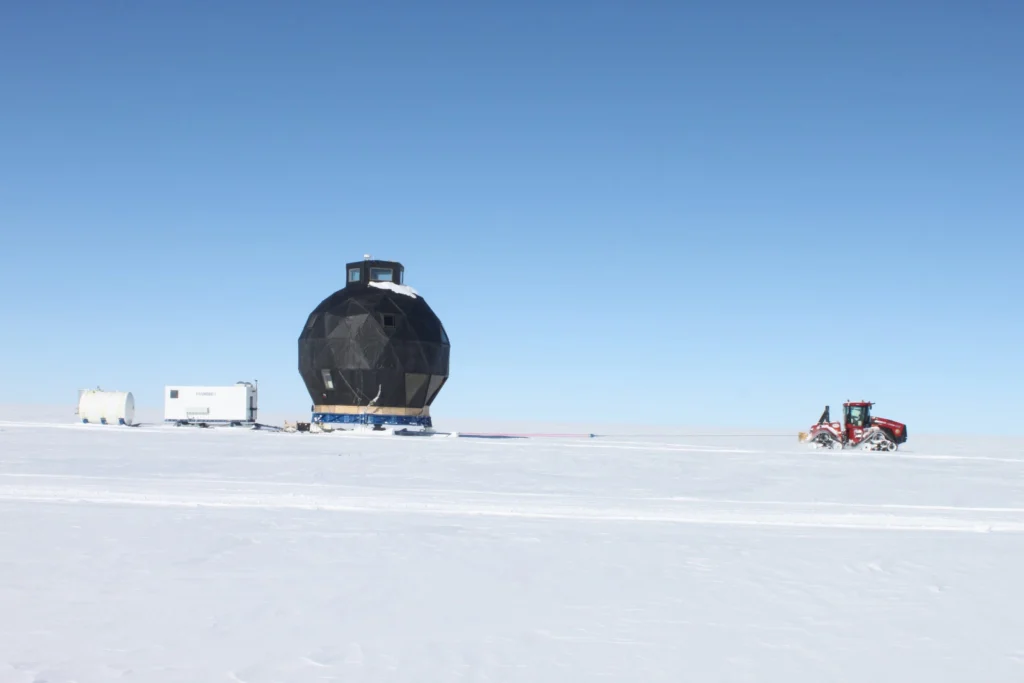
In 2008 the NEEM Deep Ice Core Project was initiated by 14 partner countries in Northwestern Greenland (camp position 77.45°N 51.06°W) with the aim to drill from the very top of the Greenland ice cap to its base; obtaining ice from as far back as the last interglacial period- the Eemian – some 130,000 years old. …[Read More]