Where in the world can you find some of Earth’s oldest ice? That is the question a team of French and US scientists aimed to answer. They recently identified spots in East Antarctica that likely have the right conditions to harbor ice that formed 1.5 million years ago. Scientists hope that obtaining and analysing an undisturbed sample of ice this old will give them clues about Earth’s ancient clim ...[Read More]
Geosciences Column: The best spots to hunt for ancient ice cores
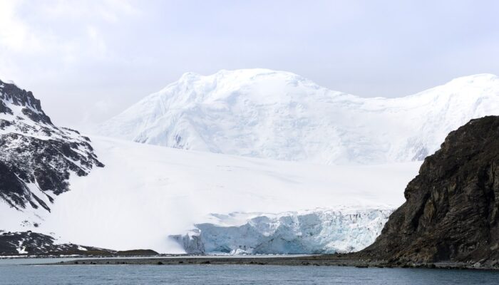
The shore of Livingston Island from the South Shetland Islands in Antarctica. Photo: Antarctic public transport. Credit: Carsten W. Mueller (distributed via imaggeo.egu.eu)
