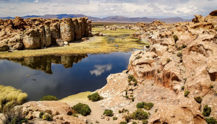
This week’s featured photo showcases one of the most geologically diverse landscapes of South America: the Altiplano, the high plateau of the Andes. This plateau covers roughly 200,000 square kilometres in central South America, stretching from southern Peru to northern Argentina. The high-elevation plain sits between the eastern and western chains of the Central Andes and is home to a myriad of n ...[Read More]
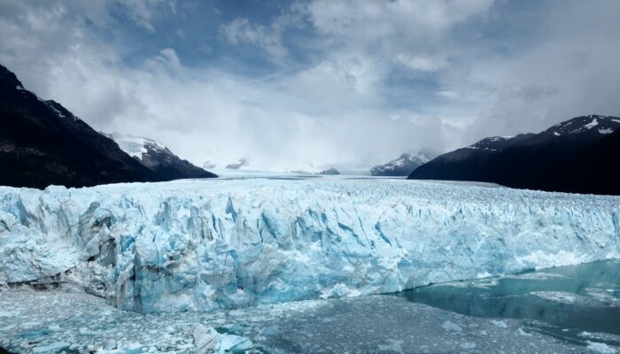
Imaggeo on Mondays: The glacier surviving climate change
Human impacts on the climate are nowadays clearly discernible, and the changes to our climate that previously happened in geologic time scales are currently happening during the span of a human lifetime. Our planet is warming and temperature today is now more than 1°C higher than it was in the pre-industrial world and rises by about 0.15-0.2°C on average each decade. The dramatic effects of this r ...[Read More]
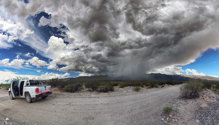
Imaggeo on Mondays: how short-term storms can impact our landscapes
In the Sierra de Aconquija, a mountain range in the southern Central Andes of Argentina, strong storms often come and go at a moment’s notice, but they can have a long-lasting impact on the Earth’s surface. The thunderstorm cell featured in this photo formed in less than half an hour, giving all those nearby only a few minutes to take cover. Mitch D’Arcy, a geomorphologist and postdoctoral researc ...[Read More]
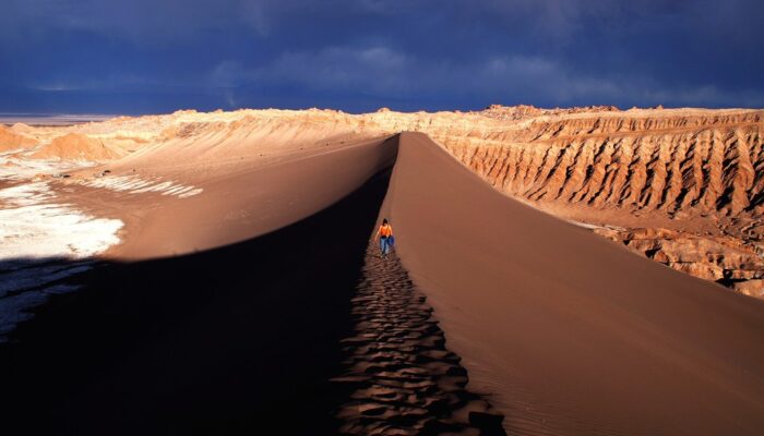
Imaggeo on Mondays: Cordillera de la Sal
The photograph shows the Valle de la Luna, part of the amazing Cordillera de la Sal mountain range in northern Chile. Rising only 200 metres above the basin of the Salar de Atacama salt flat, the ridges of the Cordillera de la Sal represent a strongly folded sequence of clastic sediments and evapourites (salt can be seen in the left portion of the image), with interspersed volcanic material. This ...[Read More]