GeoLog

GeoLog

Imaggeo on Mondays: Tertiary Flying Saucers

Imaggeo on Mondays: Tertiary Flying Saucers

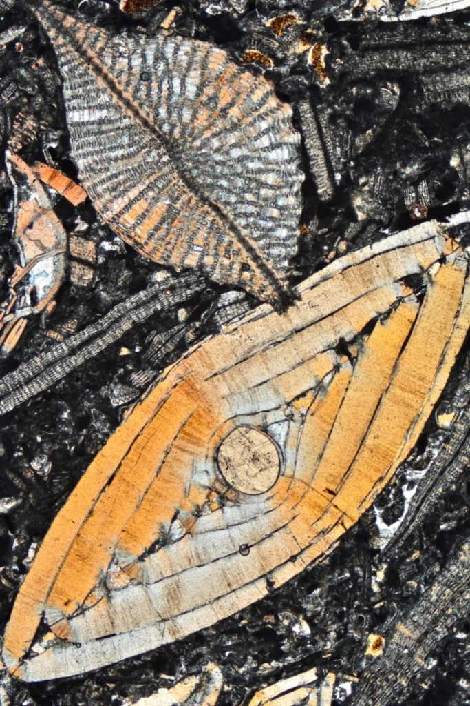
Besides for the purposes of documenting my research, I like to take photos of rocks under the microscope also because of their aesthetic appeal. It’s an hidden, marvelous world. These flying-saucer-looking objects are in fact the fossil skeletons of a Nummulites (the larger) and a Discocyclina (the one on top left), both belong to the …[Read More]

Accessibility at EGU: Promoting inclusive language, an incomplete guide

Accessibility at EGU: Promoting inclusive language, an incomplete guide

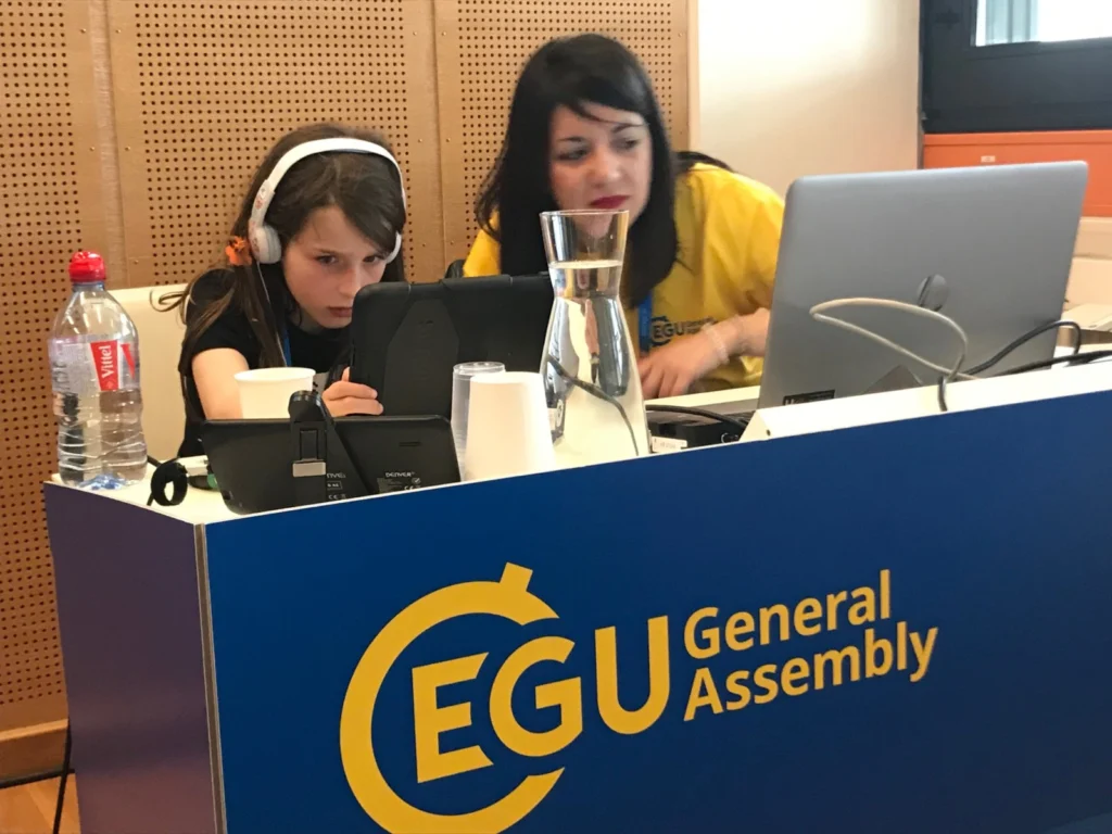
Like all people, geoscientists can sometimes forget the importance of language. How scientists use language is important because it not only allows us to communicate effectively with different groups, from policymakers to concerned citizens and other researchers, but it can also influence how people respond on an emotional or personal level.  The way we use …[Read More]

Imaggeo on Mondays: The Tempest

Imaggeo on Mondays: The Tempest

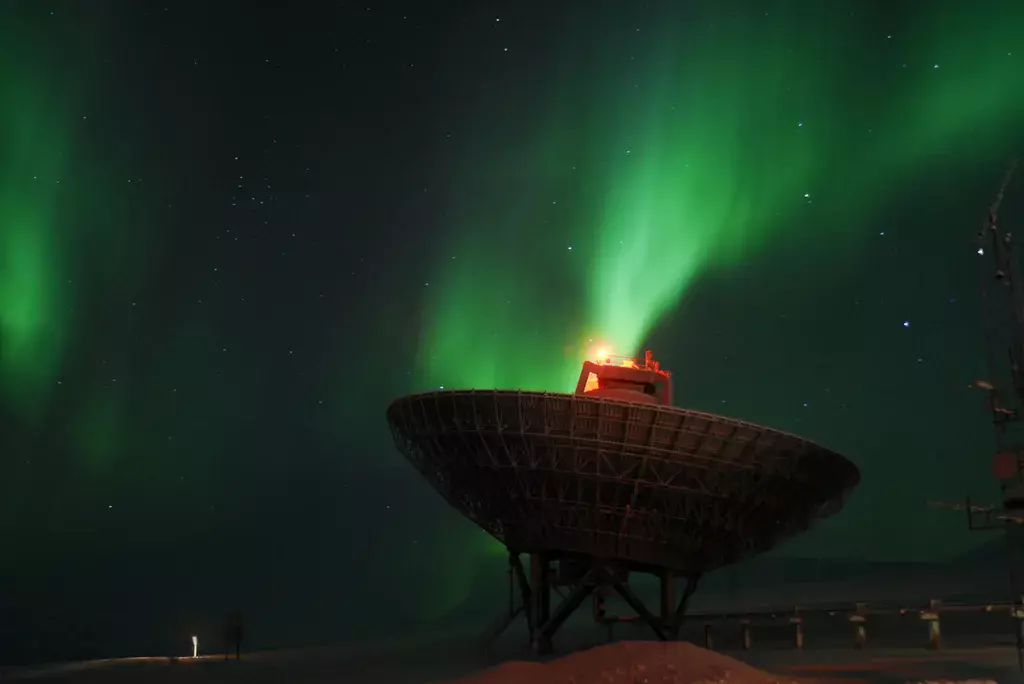
Measuring the aurora. This picture was taken while doing an optical/radar coordinated campaign in Svalbard, Norway, near the settlement of Longyearbyen. In this campaign, we were measuring for the first time the polarisation of the auroral ‘red line’ of atomic oxygen with a photopolarimeter and were running the radars in order to have a better …[Read More]

GeoTalk: Joel Gill discusses the UN’s Sustainable Development Goals and the ‘Decade of Action’

GeoTalk: Joel Gill discusses the UN’s Sustainable Development Goals and the ‘Decade of Action’

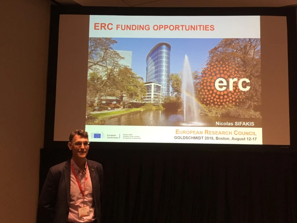
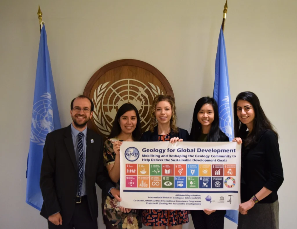
Geotalk is a regular feature highlighting early career researchers and their work. In this interview we speak with Joel Gill who a geoscientist, based in the UK, who works at the British Geological Survey, supporting their international development programmes, whilst also researching multi-hazards and disaster risk reduction. In addition he leads a not-for-profit organisation, Geology …[Read More]

Imaggeo on Mondays: The sun rises also in the middle of nowhere

Imaggeo on Mondays: The sun rises also in the middle of nowhere

Uluru in Australia is one of the most visibly recognisable geological features in the world. This sandstone formation covers an area of 3.3 kilometres and stands 345 metres above the plains around it. According to geoscientists, the rocks that form Uluru were deposited in an inland sea during the Cambrian Period approximately 500 million years …[Read More]

Imaggeo on Mondays: Cooking crystals in the Earth cauldron

Imaggeo on Mondays: Cooking crystals in the Earth cauldron

This picture shows a 30 micrometer thick rock section of a gabbro from the Rum Layered Intrusion (Scotland). Large clinopyroxene crystals are enclosed in a foliated fine grained groundmass of plagioclase and olivine. The clinopyroxene core crystallized at an early stage, at 1160°C. They were partly molten at 1200°C during successive hot magma injections and …[Read More]

Inclusive flood mapping: using citizen science to collect historical flood data in Dakar, Senegal.

Inclusive flood mapping: using citizen science to collect historical flood data in Dakar, Senegal.

During the month of February, we are focusing on ‘Accessibility and Inclusivity’ here at the EGU. Although these topics are clearly relevant to the General Assembly, some people may wonder whether they also relate to scientific research. Clearly all geoscientists are people, so accessibility and inclusivity matter regardless of what scientific discipline they are in. …[Read More]