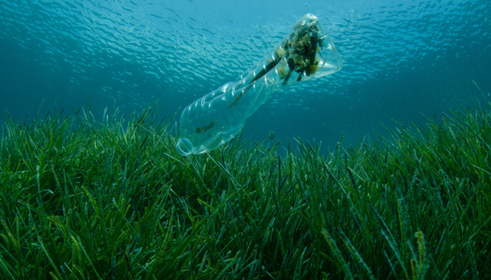
It appears that plastics have well and truly invaded even our most inaccessible environments: the deepest point in the ocean (the Mariana trench) and the highest mountain peak in the world (Mt. Everest) both contain pieces of plastic from human activities miles away. With plastic waste flowing into aquatic ecosystems expected to nearly triple by 2040, it is safe to say that nature is in “emergency ...[Read More]
GeoPolicy: Your summer time Science for Policy reading guide
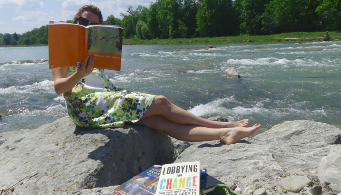
With summer just around the corner, you might be starting to think about some of the ways in which you’d like to relax during upcoming holidays or field work! It’s incredibly important for us all to be able to switch off from our work life. Not only does it allow us to mentally and physically recover, but it can also provide us with new perspectives and inspiration. In this month’ ...[Read More]
GeoRoundup: the highlights of EGU Journals published during May!
Each month we feature specific Divisions of EGU and during the monthly GeoRoundup we put the journals that publish science from those Divisions at the top of the Highlights roundup. For May as we reflect on the General Assembly we are not highlighting any specific Division, so this month our GeoRoundup Journals will be alphabetical! All highlights for May! Atmospheric Chemistry and P ...[Read More]
Meet the EGU Education Committee!

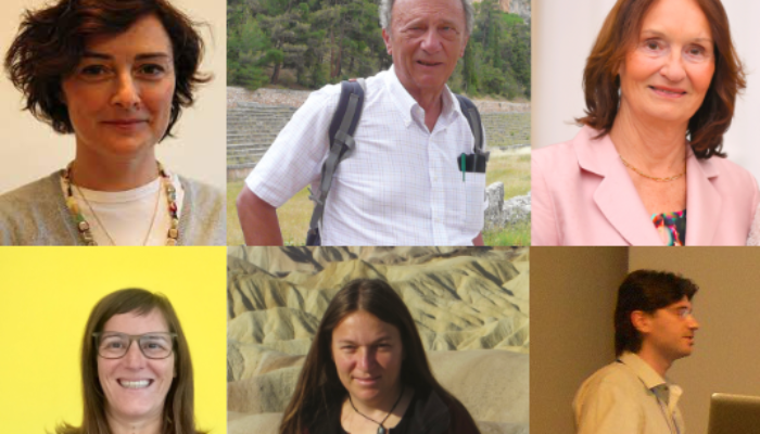
The EGU’s Education Committee (EC) helps to bring science to educators, from higher education funding grants and coordinating training programmes to bringing teachers to Vienna to participate in the annual GIFT (Geoscience Information For Teachers) workshop and meet with scientists at the EGU General Assembly. In this article, six of the volunteer committee members reflect on what it’s ...[Read More]


