GeoLog

GeoLog

Imaggeo On Monday: Geodesy on Zugspitze

Imaggeo On Monday: Geodesy on Zugspitze

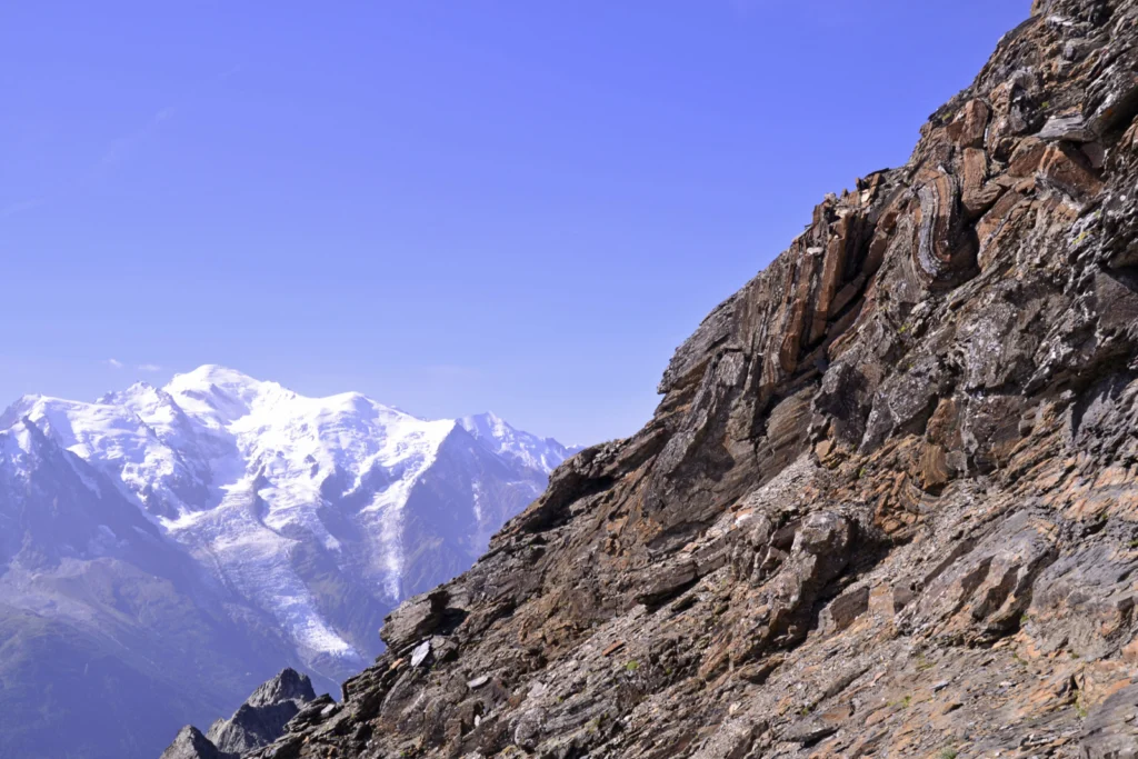
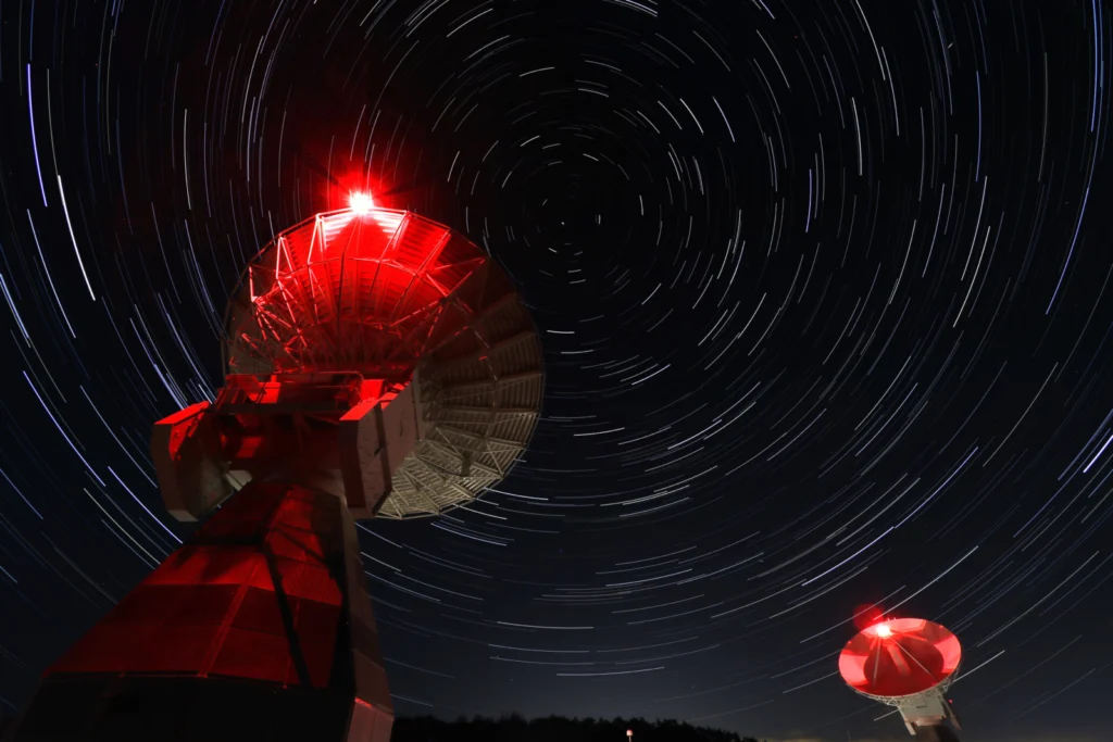
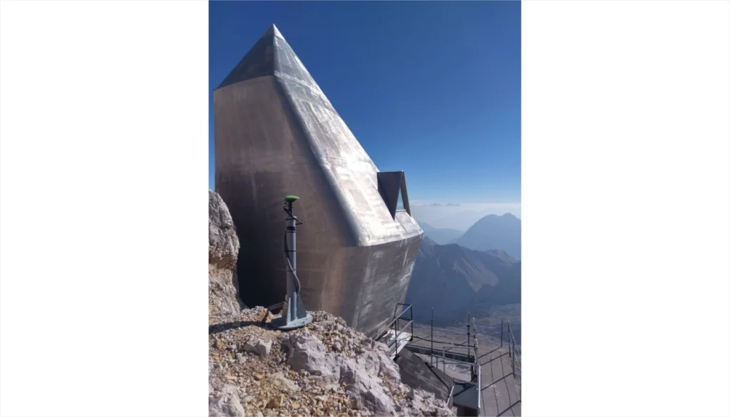
The Zugspitze Geodynamic Observatory Germany (ZUGOG) has been setup on the summit of mountain Zugspitze at an altitude of almost 3000 m during 2018 with the main scientific objective being a better understanding of seasonal and long-term mass redistributions in the European Alps. This knowledge is very important (e.g. with regard to water storage and its high sensitivity to climate change), but is ...[Read More]

GeoRoundup: the highlights of EGU Journals published during July!

GeoRoundup: the highlights of EGU Journals published during July!

Each month we feature specific Divisions of EGU and during the monthly GeoRoundup we will be putting the journals that publish science from those Divisions at the top of the Highlights roundup. For July, the Divisions we are featuring are: Natural Hazards (NH) and Geomorphology (GM). They are served by the journals: Geoscientific Model Development (GMD), Natural Hazards and Earth System Sciences ( ...[Read More]

GeoPolicy: A Climate and Ecological Emergency: Can a pandemic help save us…?

GeoPolicy: A Climate and Ecological Emergency: Can a pandemic help save us…?

The EGU’s #vEGU21 streamed a wide variety of virtual sessions from Short Courses to Union Symposia. While most #vEGU21 sessions had a specific scientific focus, a few highlighted topics that were of interest to geoscientists across multiple disciplines. The Union Symposia 3: “A Climate and Ecological Emergency: Can a pandemic help save us…?” was one of these sessions with a high level of participa ...[Read More]

Imaggeo On Monday: An ever evolving landscape – Orog Nuur, Mongolia

Imaggeo On Monday: An ever evolving landscape – Orog Nuur, Mongolia

At the transition from the Gobi Altay ranges to the Valley of the Lakes in South West Mongolia, the Ikh Bogd mountain towers almost 3000 m above the aridifying endorheic Orog Nuur Basin. The actively deforming mountain front shows traces of multiple earthquakes, which in turn affect the alluvial sediments deposited in the basin. Simultaneously, strong south-eastward winds create beautiful barchan ...[Read More]

Geology and the Olympic Games

Geology and the Olympic Games

Over the last few days the best athletes in the world have been descending on Japan for the long anticipated Tokyo Olympic Games, and it’s going to be a special and spectacular event. The Olympics have a long and rich history, and from their very inception have been influenced by geology, whether it’s earthquakes affecting venues or geological processes creating the very terrain athletes will be c ...[Read More]

GeoTalk: Meet Valeria Cigala, the Natural Hazards Division’s Early Career Scientist Representative

GeoTalk: Meet Valeria Cigala, the Natural Hazards Division’s Early Career Scientist Representative

Hello Valeria, thank you for talking with us today! Could you tell us a bit about yourself? Hi Simon, I’m delighted to talk with you today; thank you for the opportunity! I originally come from Italy, and I work as a postdoc researcher at Ludwig-Maximilians-Universität (LMU) Munich, in Germany, in experimental and physical volcanology. In particular, I’m working on my DFG funded projec ...[Read More]

Imaggeo On Monday: Rock pyramid shaped by weathering

Imaggeo On Monday: Rock pyramid shaped by weathering

The almost perfect rock pyramid in the foreground was formed by physical weathering and found in the Los Glaciares National Park in southern Argentina. The block was deposited on top of a rock surface polished by glacial erosion. The pyramidal peaks in the background are also the result of glacial erosion, albeit on a much larger scale.   Description by Christoph Mayr, after the description o ...[Read More]

Imaggeo On Monday: The lost capital of Montserrat

Imaggeo On Monday: The lost capital of Montserrat

Plymouth, the capital of Montserrat, was evacuated in 1995 after the nearby Soufrière Hills Volcano (background of the image) had reactivated. Later on the town was struck by pyroclastic flows, and its centre was almost completely buried by material relocated from the upper slopes through lahars. The suburb of Town Hill can still be seen in the right centre of the photo. It remains an exclusion zo ...[Read More]

Introducing INTEGRATE: a complete higher-education teaching package for climate science

Introducing INTEGRATE: a complete higher-education teaching package for climate science

If you are a higher-education instructor and want to teach climate science and a suite of relevant technical skills to those with no (or minimal) prior knowledge of climatology, you may want to begin with INTEGRATE (Integrated Teaching of Atmospheric Science, Technical Skills and Empirical Methods). This teaching package is self-contained, open-access, and available online. Topics covered include ...[Read More]

Imaggeo On Monday: Both Ends of the Rainbow

Imaggeo On Monday: Both Ends of the Rainbow

A double rainbow was captured when heading through the glaciated Benasque valley, located in the heart of the Pyrenees. The photo was taken just before the sunset, after heavy rainfall. A rainbow is caused by reflection and dispersion of light in water droplets. Second rainbow arc results from one reflection more than in the first one, thus the rainbow colours are “reverted”. The geome ...[Read More]