In autumn 2018, the EGU Council established a working group whose aim is to promote and support equality, diversity, and inclusion in the Earth, planetary, and space sciences, with a focus on EGU activities. The group works closely with EGU’s Council and Committees to improve EGU’s equality, diversity and inclusion as an organisation. Since the Equality, Diversity and Inclusion (EDI) Working Group ...[Read More]
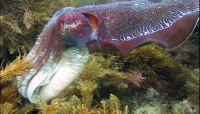
Imaggeo On Monday: Giant Australian Cuttlefish in the Spencer Gulf, South Australia

In the shadow of the Santos oil and gas processing plant and export terminal lies the only place in the world where cuttlefish come together by the tens of thousands to mate every winter. The unique geology of the area, with a seafloor composed of bedrock and tabular quartzite blocks, makes for an ideal egg-laying habitat, and thus is an attractive breeding ground for the Australian Giant Cuttlefi ...[Read More]
GeoPolicy: When policymakers misuse science

Most of the EGU’s GeoPolicy blog posts focus on overarching topics that I believe will be useful for the majority of scientists who read them. I see myself as a facilitator who connects scientists and policymakers, providing impartial information to promote more effective knowledge exchange and subsequently evidence-informed policies. This month’s GeoPolicy post however, takes a differ ...[Read More]
GeoTalk: Meet Meriel Bittner, the Ocean Science Division’s Early Career Scientist Representative
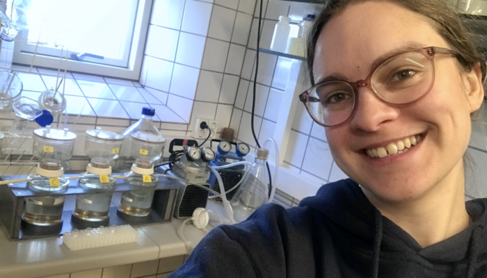
Hello Meriel, thank you for speaking with us today! Could you introduce yourself? My name is Meriel Bittner and I am the Early Career Scientist Representative for the Ocean Sciences (OS) Division of EGU. Currently, I am a PhD fellow at the University of Copenhagen. Originally from Germany, I did my Bachelor and Master at the University of Vienna in Austria, hence I have attended multiple general a ...[Read More]


