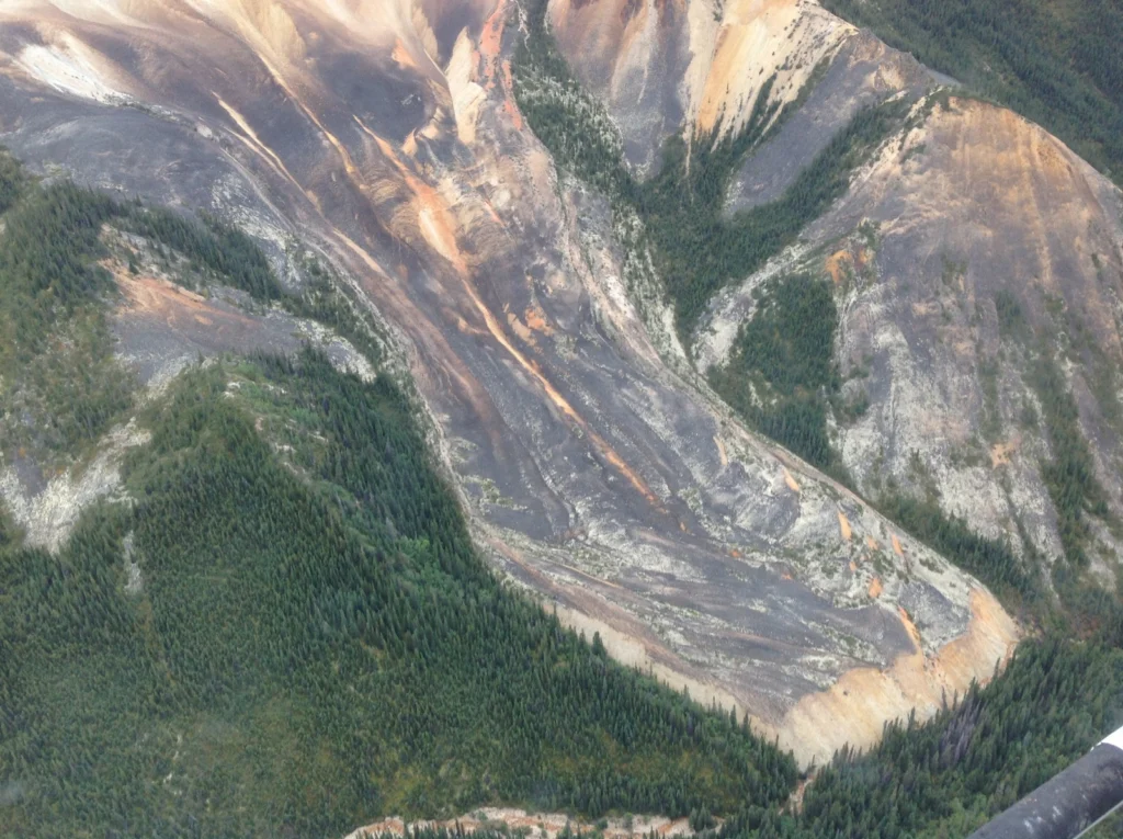
Picture a glacier and you probably imagine a vast, dense mass of slow moving ice; the likes of which you’d expect to see atop the planet’s high peaks and at high latitudes. Now, what if not all glaciers look like that? Take some ice, mix in some rock, snow and maybe a little mud and …[Read More]
GeoLog
Geosciences Column: The World’s soils are under threat
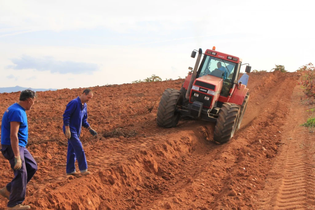
An increasing global population means that we are more dependant than ever on soils. Soils are crucial to securing our future supplies of water, food, as well as aiding adaptation to climate change and sustaining the planet’s biosphere; yet with the decrease in human labour dedicated to working the land, never have we been more …[Read More]
Imaggeo on Mondays: an impressive testimony to the collision between Africa and Europe
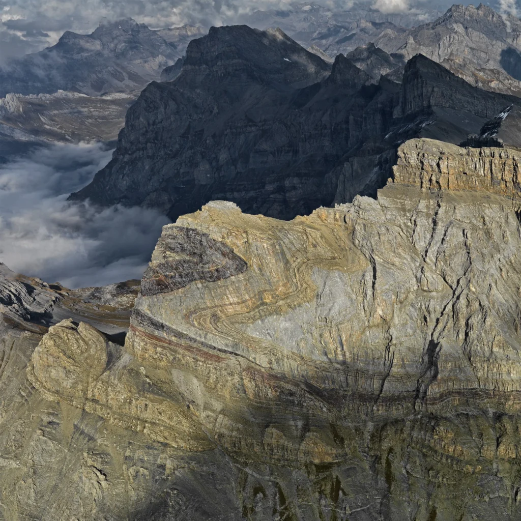
The huge fold in the flank of the 2969 m high Dent de Morcles (in Waadtland Alps, Switzerland) is an impressive testimony to the collision between Africa and Europe (which began some 65 million years ago). The layers, originally deposited on the sea floor in a horizontal position, were compressed and shifted. The darker parts …[Read More]
GeoTalk: Matt Taylor of ESA’s Rosetta mission
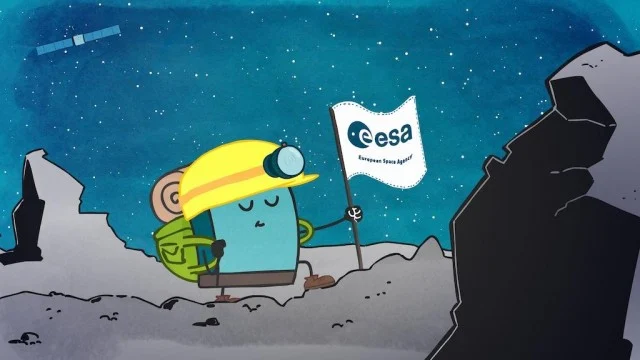
In November 2014, space exploration history was made. Millions of kilometres away, orbiting a piece of ice and rock, the European Space Agency’s (ESA) Rosetta mission sent its probe Philae to become the first spacecraft to soft-land on a comet. After the tense 7-hour wait that followed the separation from the main orbiter, a tweet …[Read More]
GeoPolicy: 8 ways to engage with policy makers
Scientific research is usually verbally communicated to policy officials or through purposefully written documents. This occurs at all levels of governance (local, national, and international). This month’s GeoPolicy post takes a look at the main methods in which scientists can assist in the policy process and describes a new method adopted by the European Commission (EC) that aims to enhance …[Read More]
Imaggeo on Mondays: The glacial landscape of Yosemite
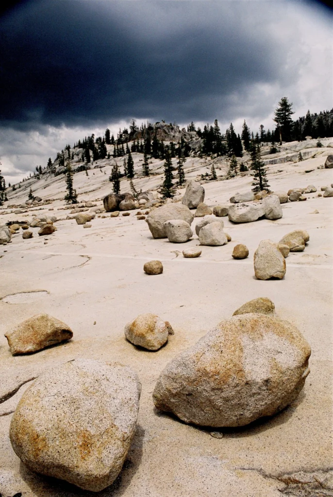
Yosemite National Park, in California, is renowned for its beautiful and striking landscapes. So much so, this is the second time it has feature on the blog this summer. While our last post on the park focused on the ancient volcanic history of its landscape, in this post we fast forward to the Plesitocene (some …[Read More]
Shape the EGU 2017 scientific programme: Call-for-sessions is open!
Do you enjoy the EGU’s annual General Assembly but wish you could play a more active role in shaping the scientific programme? Now is your chance! From today, until 9 Sep 2016, you can suggest: sessions (with conveners and description), or; modifications to the existing skeleton programme sessions Explore the EGU2017 Programme groups (PGs) to …[Read More]
Imaggeo on Mondays: Why is groundwater so important?
Groundwater is an often underestimated natural resource, but it is vital to the functioning of both natural and urban environments. Indeed, it is a large source of drinking water for communities world-wide, as well as being heavily used for irrigation of crops and crucial for many industrial processes. The water locked in the pores and …[Read More]
Geosciences Column: Pollen tells a 7300 year old story of Malta’s climate and vegetation
Figuring out what the climate was like, and how it changed, throughout Earth’s history is like trying to complete a 1000 piece puzzle. Except that scientists usually don’t have all the nuggets and building a comprehensive picture relies on a multidisciplinary approach in order to fill in the blanks. This is particularly true during the …[Read More]
Imaggeo on Mondays: Heavy machinery
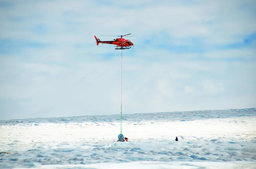
How do you get heavy machinery, such as a drill spool onto an ice sheet? This week’s imaggeo on Mondays’ photography captures the freighting of components of a hot water drill to directly access and observe the physical and geothermal properties at the ice-bed interface. In the image, SAFIRE principal investigator Bryn Hubbard and post-doc Sam Doyle help fly in the …[Read More]