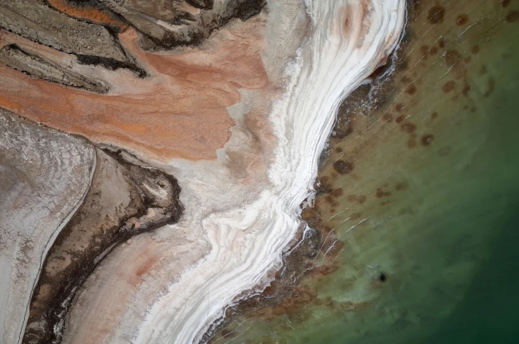
The Dead Sea is one of the saltiest lakes on Earth, located at the lowest point of the globe. For centuries it has been known for the restorative powers of its muds and waters. Their hypersalinity means it is possible to easily float on the lake’s surface. Bordering Israel, the West Bank and Jordan, it …[Read More]
Regular Features
Geosciences Column: The complex links between shrinking sea ice and cloud cover
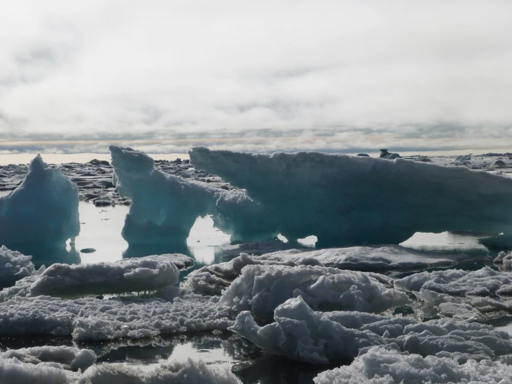
The global climate system is complex. It is composed of, and governed by, a plethora of interconnect factors. Solar radiation, land surface, ice cover, the atmosphere and living things, as well as wind and ocean currents, play a crucial role in the climate system. These factors are intricately connected; changes to some can have significant …[Read More]
Imaggeo on Mondays: White rainbow in the Arctic
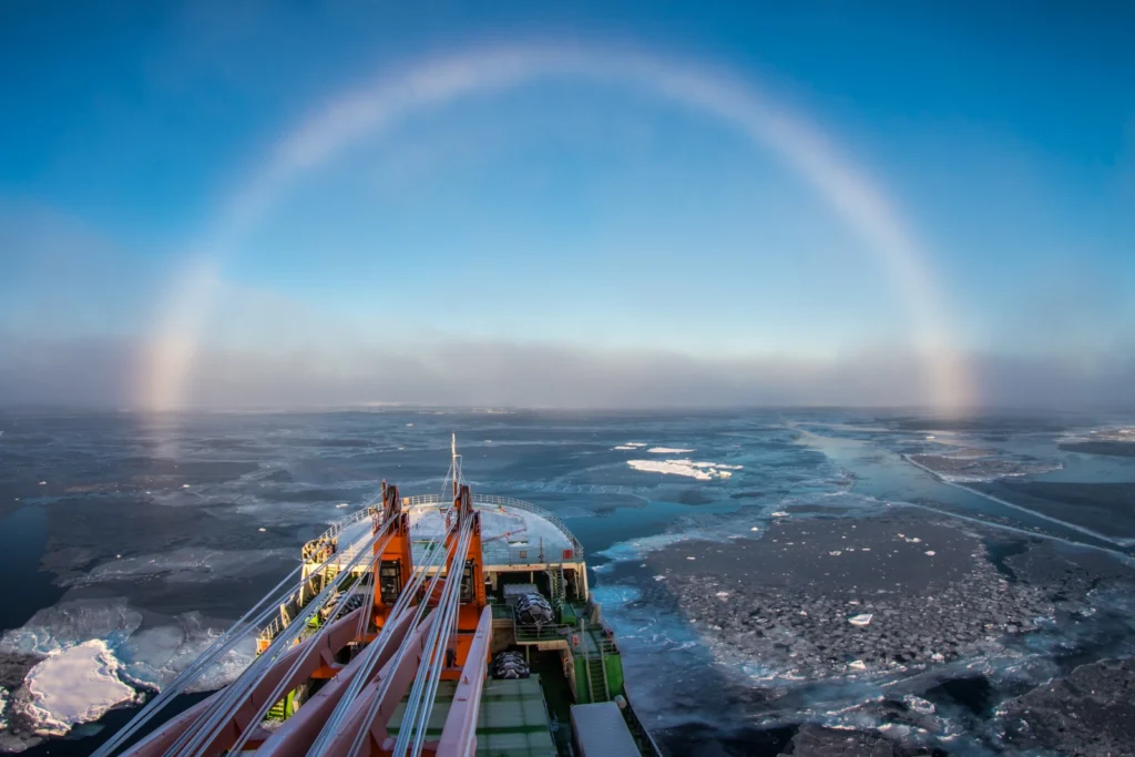
Despite heading into the long polar night – the time when the sun doesn’t shine in the globe’s most northerly latitudes and when temperatures drop and thick sheets of sea ice form -the Arctic is reported to be 20° C warmer than average for this time of year. Never has it been more important to …[Read More]
GeoEd: A round-up of (geo)educational board games
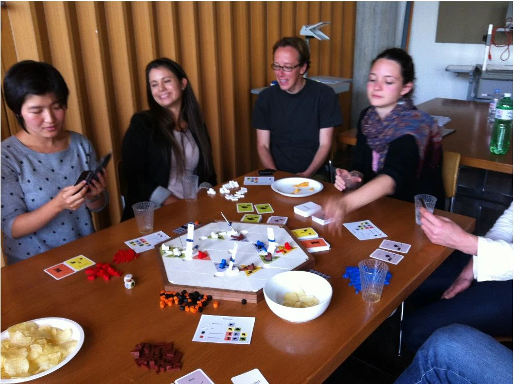
With the rise of electronic games – those played on computers, consoles and even on mobile phones – you’d be forgiven for thinking the humble board game would be slowly making its way into the history books. Nothing could be further from the truth! Sales of board games are on the up, as are cafes …[Read More]
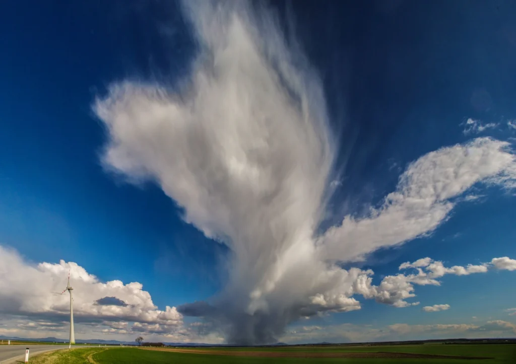
Imaggeo on Mondays: Isolated storm
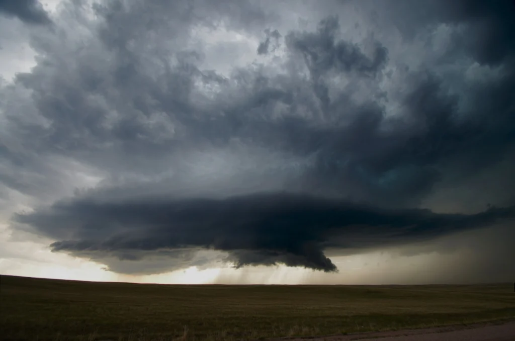
Clouds and storms are formed when warm, moist air rises. This causes the air to expand and cool: forming clouds as the moisture condenses onto particles suspended in the air (called cloud condensation nuclei). Normally, air rises from surface heating, or when warm and cold air pockets collide, or if air is pushed upwards when …[Read More]
GeoPolicy: What will a Trump presidency mean for climate change?
The US Presidential election this month saw Republican Donald Trump, a fierce climate sceptic, be elected into office. In wake of the election results, this month’s GeoPolicy post will take a look at Trump’s proposed actions on climate change, how likely these are to happen, and what the climate and clean technology communities could do …[Read More]
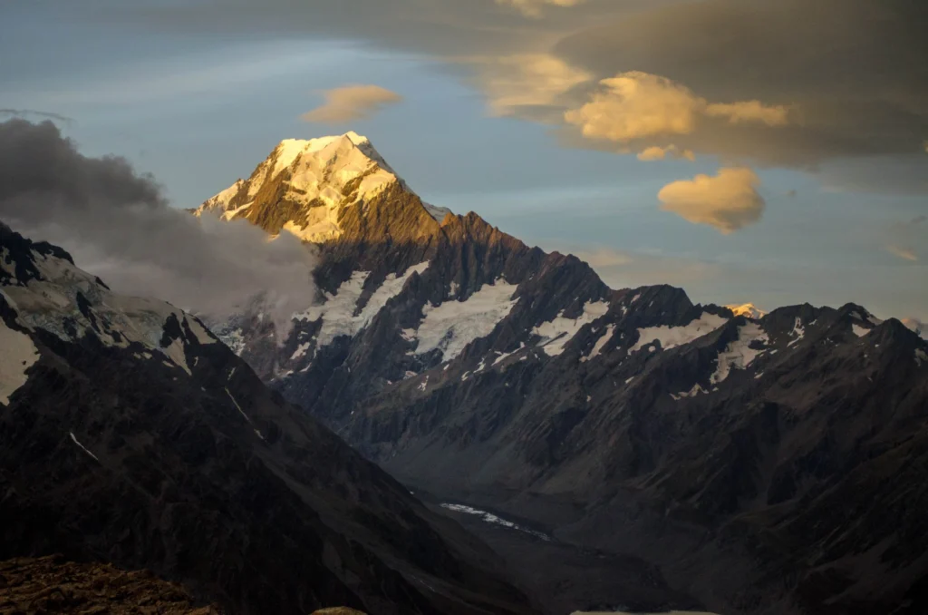
Imaggeo on Mondays: Aoraki & a round-up of the latest New Zealand earthquake news
On Sunday the 13th November, New Zealand’s South Island was struck by a powerful 7.8 M earthquake. Initial analysis by the United States Geological Survey (USGS) indicates that the source of the tremor was faulting on or near the boundary between the Pacific and Australia plates. A tsunami alert (no longer active) was triggered following …[Read More]
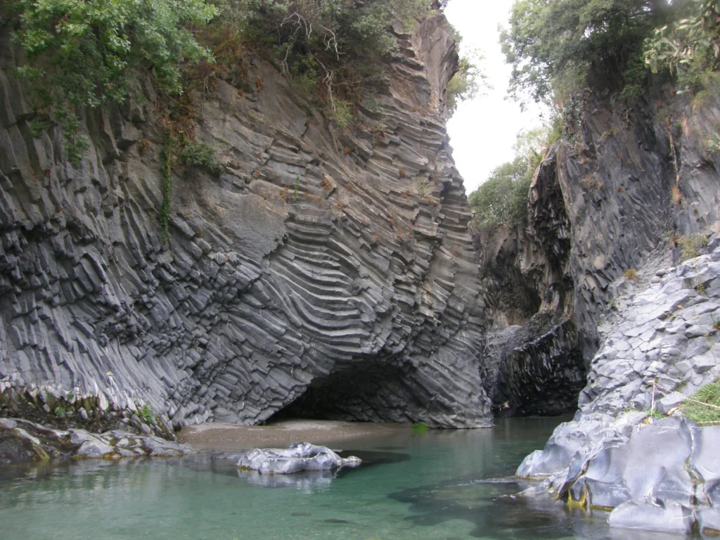
Imaggeo on Mondays: Gole dell‘ Alcantara
On account of Mount Etna (Europe’s largest volcano), the island of Sicily is peppered with geological wonders. Starting with the summit craters of the volcano itself, right through to over 200 caves formed within lava tubes, the island is packed with volcanic sights.Chief among them is Gole dell ‘Alcantara, a system of gorges formed 8,000 …[Read More]
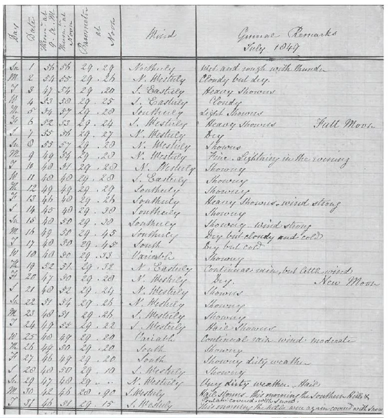
GeoSciences Column: The ‘dirty weather’ diaries of Reverend Richard Davis
Researching the Earth’s climate of the past, helps scientists make better predictions about how the climate and our environment will continue to be affected by, change and adapt to rising temperatures. One of the most invaluable sources of data, when it comes to understanding the Earth’s past climate, are historical meteorological records. Accounts of weather …[Read More]
Imaggeo on Mondays: A look inside a thunderstorm
This week’s contribution to Imaggeo on Mondays is a photograph of a mesocyclone – and its rotating wall cloud – photographed by Mareike Schuster, an atmospheric scientist from Freie Universität Berlin, Germany. The picture was taken in June 2012 near Cheyenne, Wyoming in the United States during a field campaign, ROTATE, led by the Center …[Read More]