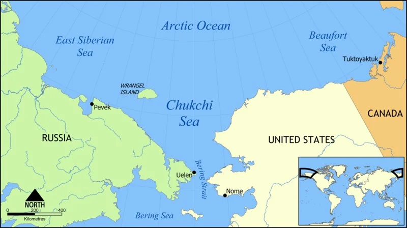
Though now submerged under 53 m of ocean waters, there once was a land bridge which connected North America with Asia, allowing the passage of species, including early humans, between the two continents. A new study, published in the EGU’s open access journal Climate of the Past, explores when the land bridge was last inundated, …[Read More]
Regular Features
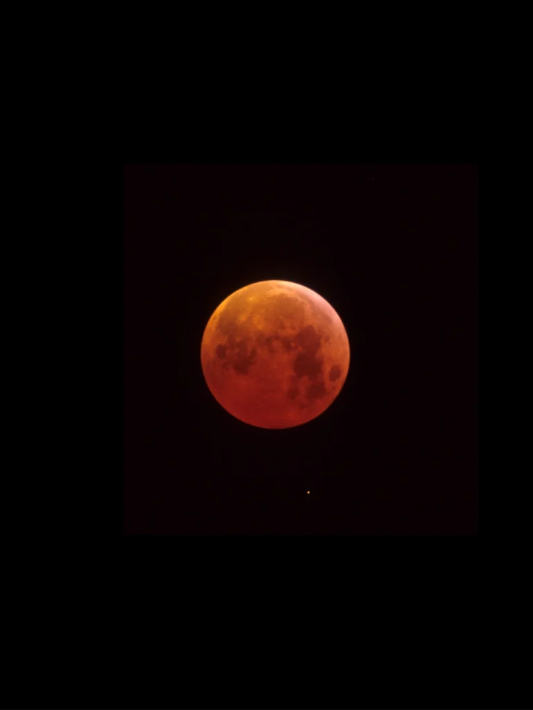
Imaggeo on Mondays: A total eclipse of the Moon
Today, all eyes are turned to the sky; at least in North America, where the region will be treated to an eclipse of the sun. The online hype is hard to miss and its hardly surprising, opportunities to see the moon completely cover the Sun, where you are, are rare*. According to NASA, the same …[Read More]
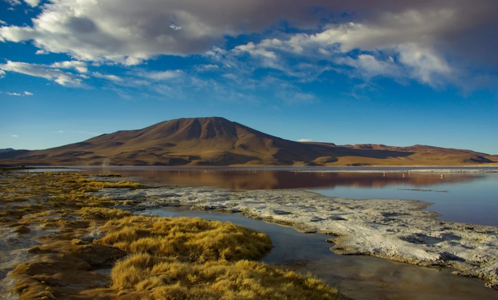
Imaggeo on Mondays: The wonderful home of pink flamingos
This stunning photograph is another of the fabulous finalists of the 2017 imaggeo photo contest. Imaggeo is the EGU’s open access image repository. It’s a great place to showcase your photographs; so whether you are stuck in the lab this summer, frantically typing away at a paper, or are lucky enough to be in the …[Read More]
GeoTalk: Meet the EGU’s President, Jonathan Bamber
GeoTalk interviews usually feature the work of early career researchers, but this month we deviate from the standard format to speak to Jonathan Bamber, the EGU’s President. Jonathan has a long-standing involvement with the Union, stretching back almost 20 years. Following a year as vice-president, Jonathan was appointed President at this year’s General Assembly in …[Read More]
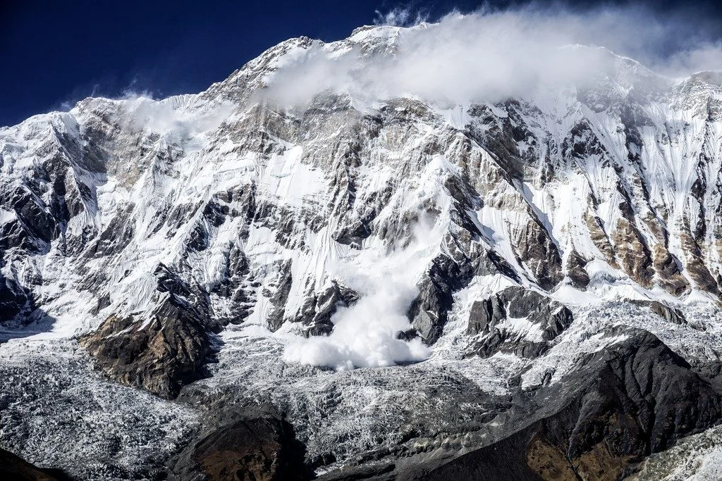
Imaggeo on Mondays: A dramatic avalanche from Annapurna South
The Annapurna massif is located in an imposing 55 km long collection of peaks in the Himalayas, which behave as a single structural block. Composed of one peak (Annapurna I Main) in excess of 8000 m, a further thirteen peaks over 7000 m and sixteen more of over 6000 m, the massif forms a striking …[Read More]
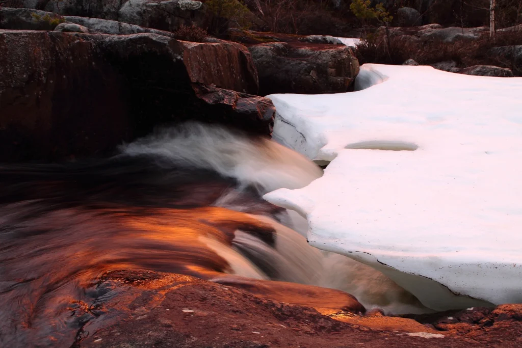
Imaggeo on Mondays: Symbiosis of ice and water
This mesmerising photograph is another of the fabulous finalists (and winner) of the 2017 imaggeo photo contest. Imaggeo is the EGU’s open access image repository. It’s a great place to showcase your photographs; so whether you are stuck in the lab this summer, frantically typing away at a paper, or are lucky enough to be …[Read More]
GeoPolicy: How can geoscientists make the most of the Horizon 2020 programme?
As a geoscientist, I’m sure that you have heard of Horizon 2020, an EU programme that is allocating almost €80 billion to research and innovation over 7 years (from 2014 to 2020). This money is distributed throughout various scientific divisions and provides a plethora of opportunities for scientists, not only within the EU but also …[Read More]
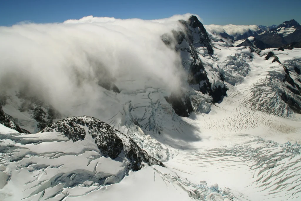
Imaggeo on Mondays: Nor’Wester in the Southern Alps of New Zealand
Stephan Winkler’s 2017 Imaggeo Photo Contest finalist photo showcases an unusual weather phenomenon… The image shows a typical weather situation in the Southern Alps of New Zealand with a moist, westerly airflow pushing over the Main Divide [which separates the water catchments of the more heavily populated eastern side of the island from those on …[Read More]
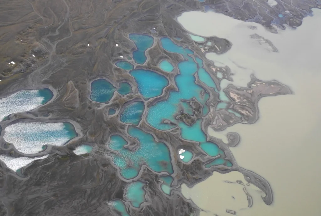
Imaggeo on Mondays: Sediments make the colour
Earth is spectacularly beautiful, especially when seen from a bird’s eye view. This image, of a sweeping pattern made by a river in Iceland is testimony to it. The picture shows river Leirá which drains sediment-loaded glacial water from the Myrdalsjökull glacier in Iceland. Myrdalsjökull glacier covers Katla, one of Iceland’s most active and ice-covered …[Read More]
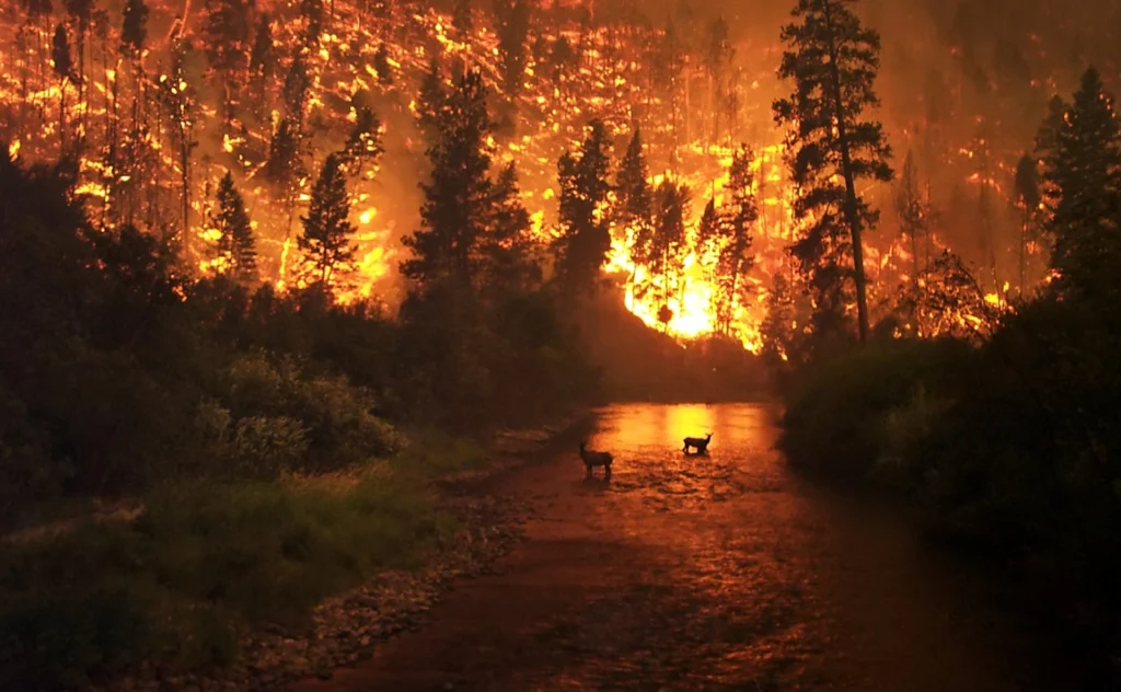
GeoSciences Column: Is smoke on your mind? Using social media to assess smoke exposure from wildfires
Wildfires have been raging across the globe this summer. Six U.S. States, including California and Nevada, are currently battling fierce flames spurred on by high temperatures and dry conditions. Up to 10,000 people have been evacuated in Canada, where wildfires have swept through British Columbia. Closer to home, 700 tourists were rescued by boat from …[Read More]