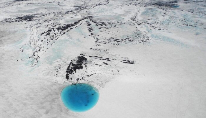
The photograph shows water that accumulated in a depression on the ice surface of Vatnajökull glacier in southeastern Iceland. This 700m wide and 30m deep depression [1], scientifically called an ‘ice cauldron’, is surrounded by circular crevasses on the ice surface and is located on the glacier tongue Dyngjujökull, an outlet glacier of Vatnajökull. The photo was taken on 4 June 2016, less than 22 ...[Read More]
Imaggeo on Mondays: A Colombian myth with geologic origins
This photograph shows El salto del Tequendama, a natural waterfall of Colombia, located in the Department of Cundinamarca at an altitude of 2400 metres above sea level and approximately 30 kilometres southwest of the country’s capital, Bogotá. The Salto del Tequendama is a space of transit and connectivity between the warm lands of the Magdalena river basin and the cold lands of the Sumapaz ...[Read More]
Imaggeo On Mondays: Reservoir in the Italian Alps
Mountain natural streams and reservoirs have a relevant hydrological and ecological importance since they represent reliable sources of freshwater supply to lowland regions and high-quality habitats for fish and cold-water communities. Moreover, streams in mountain environments are of significant importance for users in several socio-economic sectors, such as agriculture, tourism and hydropower. G ...[Read More]
Imaggeo on Mondays: A volcanic point of view
It’s not every day that you can peer into a volcano, much less gaze out at the sky from the inside of one. The Algar do Carvão, or “the Cavern of Coal,” is one of the few places on Earth where you can explore the underground reaches of a volcanic site. The volcanic pit is found on the island of Terceira, part of the Azores archipelago. This collection of islands is an autonomous region of Portugal ...[Read More]