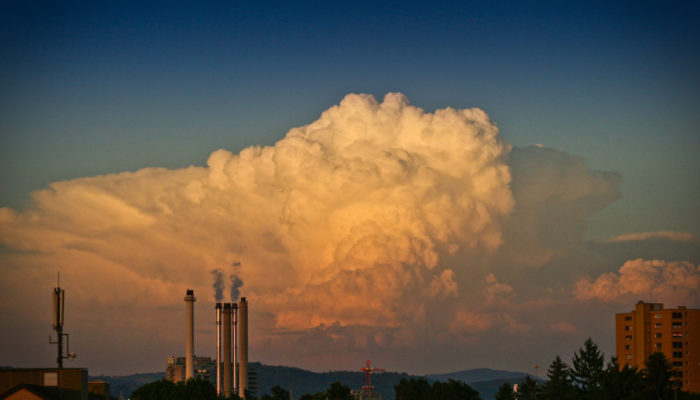
Around the world, the shift to hydrogen is being considered a key strategy to decarbonize the environment, with experts even calling it the fuel of the future. Hydrogen now features in all eight of the European Commission’s net zero emissions scenarios for 2050, promising to end our dependence on fossil fuels and reduce CO2 emissions across industries. So it comes as no surprise that billions of e ...[Read More]
How a Spanish newspaper experiment is improving public understanding of climate change
Climate change is not a new phenomenon. Nor is global warming. So why do researchers report a poor public understanding of this subject around the world? According to a recently published study, 70% of the people surveyed said they were concerned about rising global temperatures but had little knowledge about the climate crisis. When asked how much they knew about the origin and effects of global ...[Read More]
GeoRoundup: the highlights of EGU Journals published during July!
Each month we feature specific Divisions of EGU and during the monthly GeoRoundup we will be putting the journals that publish science from those Divisions at the top of the Highlights roundup. For July, the Divisions we are featuring are: Atmospheric Science (AS), Hydrological Sciences (HS) and Geomorphology (GM). They are served by the journals: Geoscientific Model Development (GMD), Annales Geo ...[Read More]
An ocean emergency is upon us. Can the world reverse ocean decline?

“The ocean is not too big to fail, nor is it too big to fix, but it is too important to ignore.” Last week, Dr Jane Lubchenco voiced a thought we’ve all had at some point: that the ocean is so vast and bountiful, it is almost inconceivable that people could impact it. And yet… Speaking to more than 20 Heads of State and Government, and an audience of thousands of policymakers, ocean scientists, bu ...[Read More]


