GeoLog

Natural Hazards

GeoSciences Column: Is smoke on your mind? Using social media to assess smoke exposure from wildfires
GeoSciences Column: Is smoke on your mind? Using social media to assess smoke exposure from wildfires

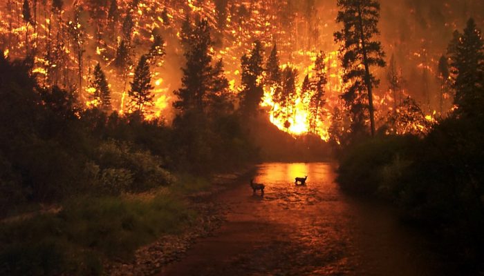
Wildfires have been raging across the globe this summer. Six U.S. States, including California and Nevada, are currently battling fierce flames spurred on by high temperatures and dry conditions. Up to 10,000 people have been evacuated in Canada, where wildfires have swept through British Columbia. Closer to home, 700 tourists were rescued by boat from fires in Sicily, while last month, over 60 pe ...[Read More]

Imaggeo on Mondays: Salt shoreline of the Dead Sea

Imaggeo on Mondays: Salt shoreline of the Dead Sea

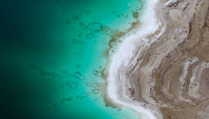
This beautiful aerial image (you’d be forgiven for thinking that it was a watercolour) of the Dead Sea was captured by a drone flying in 100m altitude over its eastern coastline. Climate change is seeing temperatures rise in the Middle East, and the increased demand for water in the region (for irrigation) mean the areas on the banks of the lake are suffering a major water shortage. As a result, t ...[Read More]

GeoSciences Column: Can seismic signals help understand landslides and rockfalls?

GeoSciences Column: Can seismic signals help understand landslides and rockfalls?

From the top of a small gully in the French Alps, a 472 kg block is launched into the chasm. Every detail of it’s trajectory down the slope is scrutinised by two cameras and a network of seismometers. They zealously record every bounce, scrape and tumble – precious data in the quest to better understand landslides. What makes landslides tick? In 2016, fatalities caused by landslides tipped 2 ...[Read More]

Imaggeo on Mondays: Sedimentary record of catastrophic floods in the Atacama desert

Imaggeo on Mondays: Sedimentary record of catastrophic floods in the Atacama desert

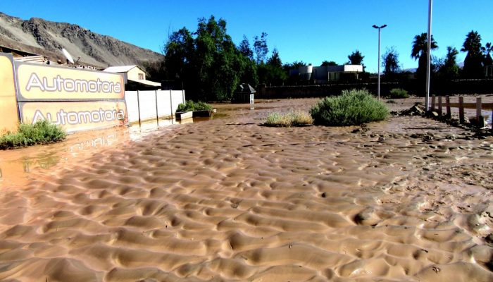
Despite being one of the driest regions on Earth, the Atacama desert is no stranger to catastrophic flood events. Today’s post highlights how the sands, clays and muds left behind once the flood waters recede can hold the key to understanding this natural hazard. During the severe rains that occurred between May 12 and 13, 2017 in the Atacama Region (Northern Chile) the usually dry Copiapó R ...[Read More]