GeoLog

Natural Hazards

Is it an earthquake, a nuclear test or a hurricane? How seismometers help us understand the world we live in
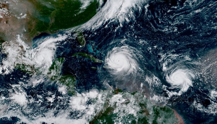
Is it an earthquake, a nuclear test or a hurricane? How seismometers help us understand the world we live in

Although traditionally used to study earthquakes, like today’s M 8.1 in Mexico,  seismometers have now become so sophisticated they are able to detect the slightest ground movements; whether they come from deep within the bowels of the planet or are triggered by events at the surface. But how, exactly, do earthquake scientists decipher the signals picked up by seismometers across the world? And mo ...[Read More]

August GeoRoundUp: the best of the Earth sciences from around the web

August GeoRoundUp: the best of the Earth sciences from around the web

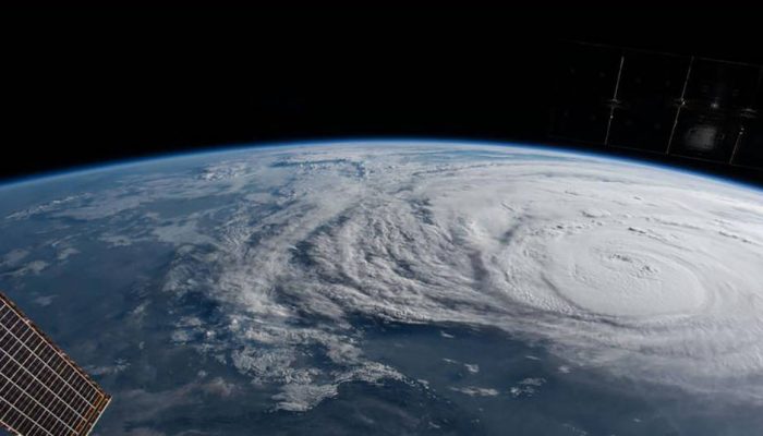
Drawing inspiration from popular stories on our social media channels, as well as unique and quirky research news, this monthly column aims to bring you the best of the Earth and planetary sciences from around the web. Major Stories On August 25th Hurricane Harvey made landfall along the southern coast of the U.S.A, bringing record breaking rainfall, widespread flooding and a natural disaster on a ...[Read More]

New Dimensions for Natural Hazards in Asia: the first AOGS–EGU Joint Conference

New Dimensions for Natural Hazards in Asia: the first AOGS–EGU Joint Conference

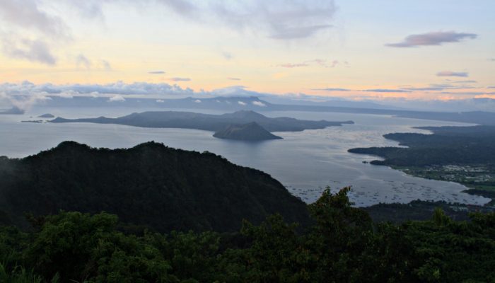
Asia is one of the most natural disaster-prone regions on the globe. Overpopulation and limited resources mean that natural hazards hit local populations particularly hard. “It doesn’t matter which index or evaluation method you use, Asia will always unfortunately come out on top when it comes to fatalities and damage from natural hazard events,” explains Dr. Adam Switzer, a member of the conferen ...[Read More]

Imaggeo on Mondays: Sediments make the colour

Imaggeo on Mondays: Sediments make the colour

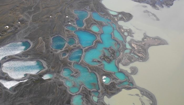
Earth is spectacularly beautiful, especially when seen from a bird’s eye view. This image, of a sweeping pattern made by a river in Iceland is testimony to it. The picture shows river Leirá which drains sediment-loaded glacial water from the Myrdalsjökull glacier in Iceland. Myrdalsjökull glacier covers Katla, one of Iceland’s most active and ice-covered volcanoes. A high sediment load (the suspen ...[Read More]