This week’s Imaggeo image is brought to you by one of our network bloggers, Matt Herod. Of the image, Matt said ” this particular one is one of my all time favourites. I have even blown it up and hung it on my wall at home,” and we couldn’t agree more; this Canadian landscape is breathtaking. Dive into this post and let Matt take you on a tour of the hydrology, archaeology ...[Read More]
Imaggeo on Mondays: Tombstones Mountains
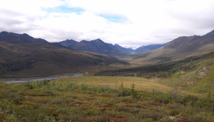
Tombstone Mountains . Credit: Matt Herod (distributed via imaggeo.egu.eu)