
Display "Following Carbon Dioxide Through the Atmosphere" from YouTube Click here to display content from YouTube. Learn more in YouTube’s privacy policy (opens in a new tab). Please enable JavaScript in your browser to load this content. Always display content from YouTube Open "Following Carbon Dioxide Through the Atmosphere" directly Carbon dioxide plays a significant role i ...[Read More]
Geodynamics
Imaggeo on Mondays: Ice forming on Chesapeake Bay
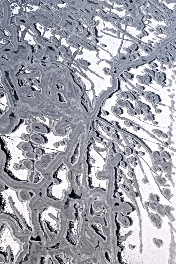
Sandwiched between the U.S states of Mayland, Delaware, Pennsylvania, New York State, the District of Columbia and Virginia, lies Chesapeake Bay, the largest estuary in North America. It is of huge ecological importance: “the bay, its rivers, wetlands and forests provide homes, food and protection for countless animals and plants”, says the Chesapeake Bay Program. Up to 150 major rivers and stream ...[Read More]
September GeoRoundUp: the best of the Earth sciences from around the web
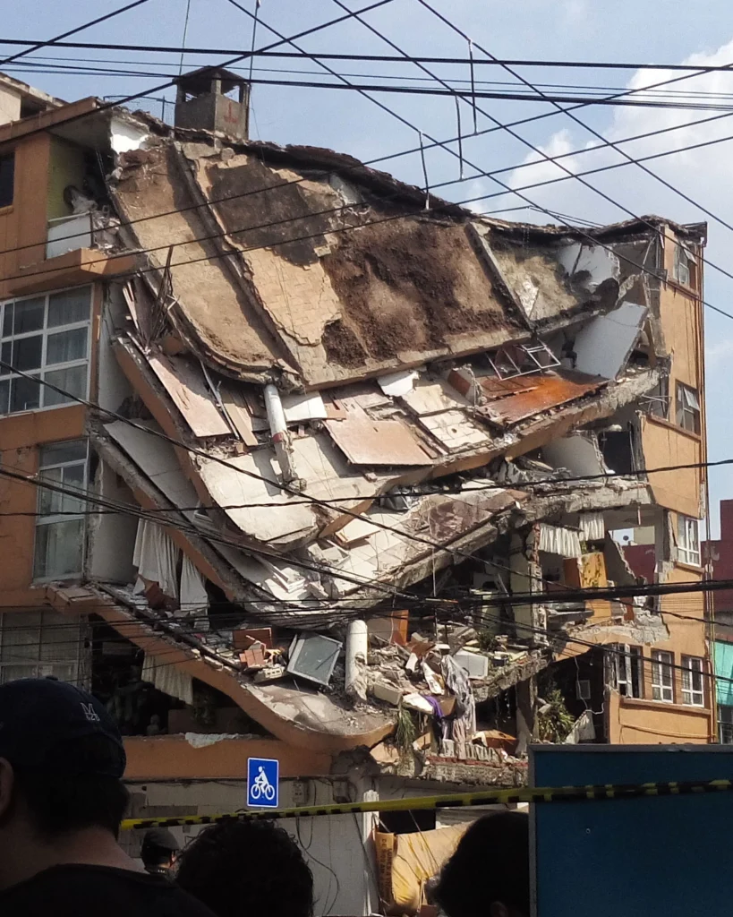
Drawing inspiration from popular stories on our social media channels, as well as unique and quirky research news, this monthly column aims to bring you the best of the Earth and planetary sciences from around the web. Major story and what you might have missed This month has been an onslaught of Earth and space science news; the majority focusing on natural hazards. Hurricanes, earthquakes and v ...[Read More]
Imaggeo on Mondays: Isolated atoll
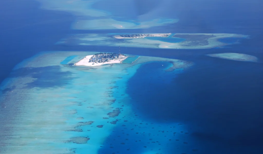
Covering a total area of 298 km², the idylic natural atolls and reefs of the Maldives stretch across the Indian Ocean. The tropical nation is famous for it’s crystal clear waters and picture perfect white sand beaches, but how did the 26 ring-shaped atolls and over 1000 coral islands form? Coral reefs commonly form immediately around an island, creating a fringe which projects seawards from the sh ...[Read More]
GeoTalk: The anomaly in the Earth’s magnetic field which has geophysicists abuzz
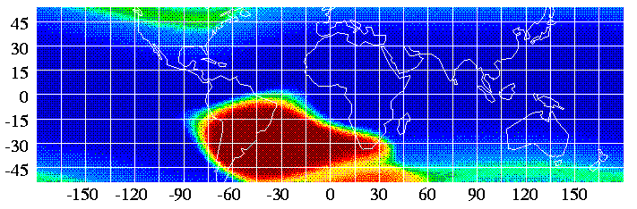
Geotalk is a regular feature highlighting early career researchers and their work. In this interview we speak to Jay Shah, a PhD student at Imperial College London, who is investigating the South Atlantic Anomaly, a patch over the South Atlantic where the Earth’s magnetic field is weaker than elsewhere on the globe. He presented some of his recent findings at the 2017 General Assembly. First, coul ...[Read More]
Mexico earthquakes: What we know so far
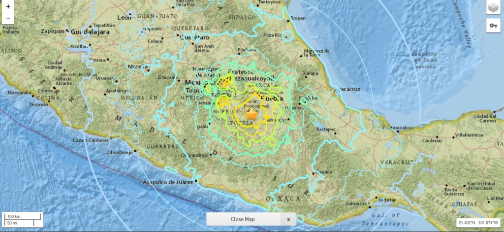
On Friday 8 September 2017 at 04:49 am UTC, a magnitude 8.1 earthquake hit off the coast of Mexico, 87 km SW of Pijijiapan. According to the U.S. Geological Survey, the epicentre was at 15.07 N, 93.72 W at a depth of about 69.7 km. Yesterday, another strong (magnitude 7.1) earthquake hit central Mexico, 55 km SSW of the city of Puebla and 120 km south of Mexico City. Despite the lower magnitude, y ...[Read More]
Mapping Ancient Oceans
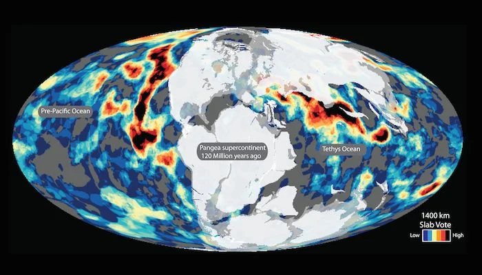
This guest post is by Dr Grace Shephard, a postdoctoral researcher in tectonics and geodynamics at the Centre of Earth Evolution and Dynamics (CEED) at the University of Oslo, Norway. This blog entry describes the latest findings of a study that maps deep remnants of past oceans. Her open access study, in collaboration with colleagues at CEED and the University of Oxford, was published this week i ...[Read More]
Imaggeo on Mondays: A prehistoric forest
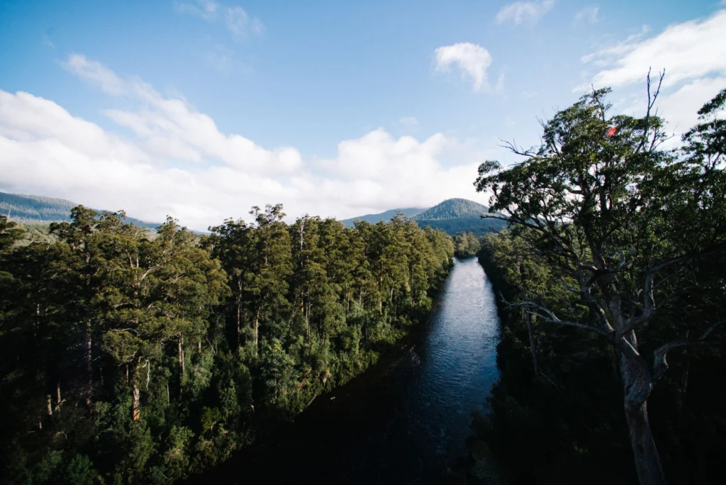
This stunning vista encompasses the south-western wilderness of Tasmania as seen from the Tahune air walk 60 m above the Huon river valley. In front lies the beginning of a huge UNESCO World Heritage Site, covering almost a fourth of the area of Tasmania. The site mostly consists of a pristine, temperate rainforest of Gondwanan origin that is home to the tallest flowering trees in the world; Eucal ...[Read More]
Is it an earthquake, a nuclear test or a hurricane? How seismometers help us understand the world we live in
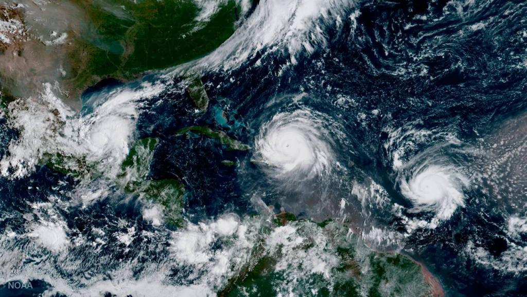
Although traditionally used to study earthquakes, like today’s M 8.1 in Mexico, seismometers have now become so sophisticated they are able to detect the slightest ground movements; whether they come from deep within the bowels of the planet or are triggered by events at the surface. But how, exactly, do earthquake scientists decipher the signals picked up by seismometers across the world? And mo ...[Read More]
August GeoRoundUp: the best of the Earth sciences from around the web
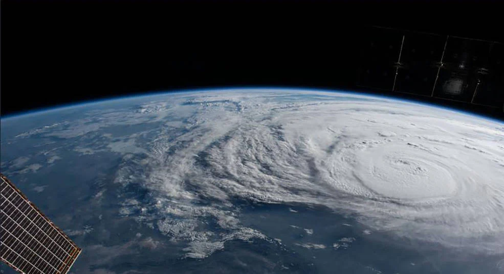
Drawing inspiration from popular stories on our social media channels, as well as unique and quirky research news, this monthly column aims to bring you the best of the Earth and planetary sciences from around the web. Major Stories On August 25th Hurricane Harvey made landfall along the southern coast of the U.S.A, bringing record breaking rainfall, widespread flooding and a natural disaster on a ...[Read More]