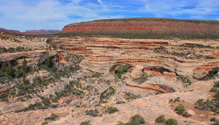
Slowly but surely, the force of water has carved out a beautiful landscape in the sandstones of the Colorado Plateau. Suspended over canyons, naturally formed bridges and arches are the starts of Utah’s first national monument. The geological and modern history of the region is rich as Kimberly Galvez, a student of the University of Miami, describes below. This image shows an overview of a ...[Read More]
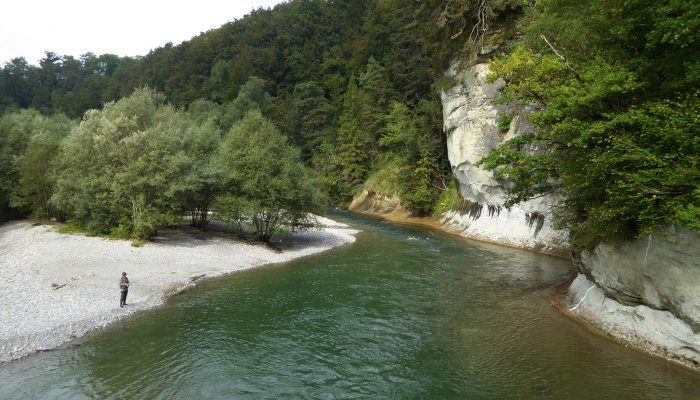
Artificial floods: Restoring the ecological integrity of rivers
“You can never step into the same river, for new waters are always flowing on to you.” —Heraclitus of Ephesus Rushing rivers, with their unremitting twists and turns and continuous renewal, are often used as a metaphor for life, but the analogy is just as appropriate for scientific research, I reflected as I walked along the banks of a sparkling, turquoise-blue river in the heart of th ...[Read More]
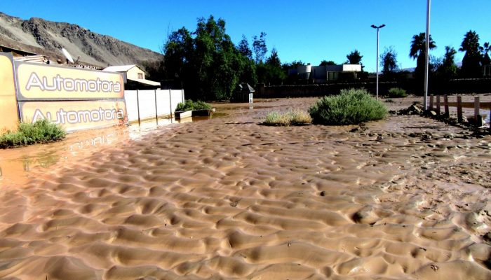
Imaggeo on Mondays: Sedimentary record of catastrophic floods in the Atacama desert
Despite being one of the driest regions on Earth, the Atacama desert is no stranger to catastrophic flood events. Today’s post highlights how the sands, clays and muds left behind once the flood waters recede can hold the key to understanding this natural hazard. During the severe rains that occurred between May 12 and 13, 2017 in the Atacama Region (Northern Chile) the usually dry Copiapó R ...[Read More]
Imaggeo on Mondays: Polar backbone (Arctic Ocean)
This image was taken during the Arctic Ocean 2016(AO16) expedition that ventured to the central regions of the Arctic Ocean, including the North Pole. It shows a pressure ridge, or ice ridge, as viewed from onboard the deck of the icebreaker Oden. It was quite striking that the ice ridge resembled an image of a spine – sea ice being a defining characteristic of the broader Arctic environment and b ...[Read More]