
This week’s Imaggeo on Mondays image blends a range of geoscience disciplines. The post, by Irene Marzolff, a researcher at Johann Wolfgang Goethe-Universitaet, explores how the mountains, rivers and soils of the High Atlas in Morocco are intrinsically linked to the agriculture of the region. The image was taken in the southern slopes of the Western High Atlas, north of the city of Taroudann ...[Read More]
Imaggeo on Mondays: The place where water runs through rocks
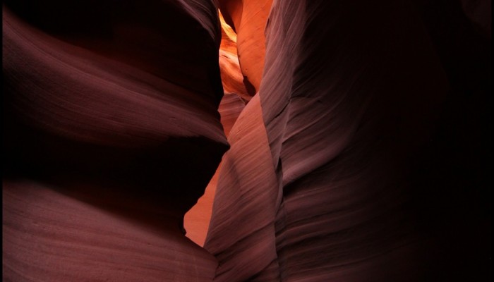
Waved rocks of Antelope slot canyon. Credit: Frederik Tack (distributed via imaggeo.egu.eu)
Antelope Canyon, located in Arizona, USA, was formed by erosion of the Navajo Sandstone, primarily due to flash flooding and secondarily due to other sub-aerial processes (think of physical weathering processes such as freeze-thaw weathering exfoliation and salt crystallisation). Rainwater runs into the extensive basin above the slot canyon sections, picking up speed and sand as it rushes into the ...[Read More]
Imaggeo on Mondays: A voyage through scales – The Badlands National Park, South Dakota.
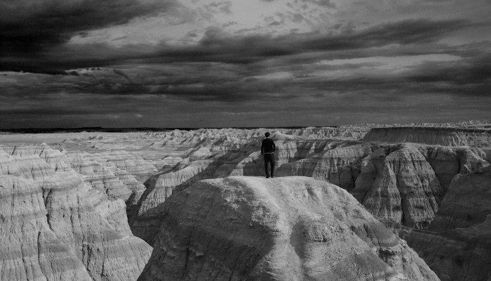
Badlands national park, South Dakota, USA. Credit: Iain Willis (distributed via imaggeo.egu.eu)
Layer upon layer of sand, clay and silt, cemented together over time to form the sedimentary units of the Badlands National Park in South Dakota, USA. The sediments, delivered by rivers and streams that criss-crossed the landscape, accumulated over a period of millions of years, ranging from the late Cretaceous Period (67 to 75 million years ago) throughout to the Oligocene Epoch (26 to 34 million ...[Read More]
The day the Earth trembled: A first-hand account of the 25 April Nepal earthquake
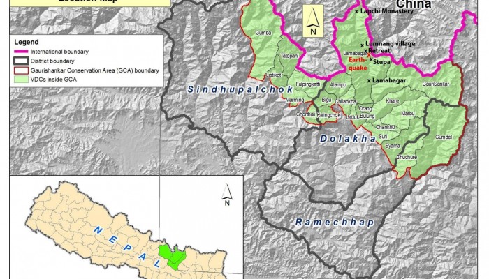
Map of Gaurishankar Conservation area (GCA) including respective Village Development Committees (VDC’s) and localities within the Tamakoshi River valley that are mentioned in this post (by NTNC, the National Trust for Nature Conservation, Lalitpur, Nepal).
On the 25th April 2015, Viktor Bruckman, a researcher at the Austrian Academy of Sciences, and a team of his colleagues were a few hours into a hike between the settlements of Lamabagar, in a remote area of northeastern Nepal, and the Lapchi Monastery when a magnitude 7.8 earthquake struck Nepal. Their journey cut short by the trembling Earth, stranded in the heights of the Himalayas, this is thei ...[Read More]