Hello Alba. Welcome to GeoTalk! Could you introduce yourself to our readers?
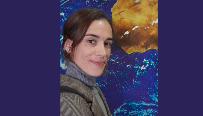
Hello Simon, thank you for inviting me to this interview. I am a Geographer with an MSc in Remote Sensing and Geographic Information Systems from the Autonomous University of Barcelona. I work at the Centre for Research on Ecology and Forestry Applications (CREAF) in Barcelona, focusing on EU-funded projects that standardize and ensure interoperability of Earth observation data standardization and interoperability, contributing to initiatives such as the European Green Deal and the Group on Earth Observations as part of the GRUMETS research group. Since last June, I am delighted to be the Early Career Scientist representative for the Earth and Space Science Informatics (ESSI) division at the EGU.
Earth observation is the process of gathering data about Earth lands, waters, and atmosphere using multiple instruments ranging from in-situ sensors, drones, airborne platforms, or satellites. Data collected from these various sources allows geoscientists to study complex spatiotemporal patterns and biophysical processes from local to global scales. However, these data are very heterogeneous and need to be organized to facilitate its use and sharing. At CREAF I do research to provide data and services solutions that align with international standards like ISO 19115, the Open Geospatial Consortium standards, and the FAIR (Findable, Accessible, Interoperable, Reusable) principles to improve the interoperability of earth observation data, with special attention to the in-situ observations.
Informatics is relevant to many scientific disciplines and yet can be an ambiguous topic to those not directly involved. How does informatics affect the geosciences?
Informatics and the technology behind it play a key role in the geosciences by transforming how vast amounts of Earth-related data are collected, processed and analysed. This capability allows scientists to create complex models that simulate the Earth systems, like digital twins, through advanced geospatial technologies. Informatics revolutionizes our ability to study Earth processes using methods such as geophysical and Machine Learning models, helping us predict environmental changes, and inform decision-making in critical areas such as climate change.
Research is becoming increasingly interdisciplinary, and scientists are engaging more with non-experts across various interfaces; what information challenges need to be overcome as this information-sharing landscape develops?
There is a transformation within the geoscience sphere as researchers are using programming languages, such as R or Python, to deal with the emerging big data and analytical approaches, such as ML, in their daily work. What once were techniques only discussed in context of Earth and Space Science Informatics (ESSI), are now commonly presented across many geoscience disciplines. These advancements stimulate collaboration among different domains while presenting new information-sharing challenges.
Adopting a FAIR approach to information is crucial for tackling environmental challenges…
One significant challenge is ensuring that data and systems from different disciplines can seamlessly be integrated. In particular, when transferring data among disciplines, precisely semantically tagging the data with information that might be obvious in one discipline but unknown in others is one fundamental challenge. This is known as semantic interoperability. Another significant challenge is to establish common data infrastructures and new governance frameworks (rules) that support the exchange of data.
How does moving towards a FAIR approach to information-sharing help address challenges like biodiversity loss and climate change?
Adopting a FAIR approach to information is crucial for tackling environmental challenges as it accelerates research efforts and allows more robust scientific findings that can support evidence-based decision-making. By improving data findability and accessibility, the discoverability of relevant datasets increases, and by using an interoperable format and standard vocabularies, as well as well-preserved metadata, data can be reused for purposes for which not originally designed, such as the study of climate change. For example, data initially gathered about forests for management purposes, now it can be reused to study drought and biomass changes.
As the Early Career Scientist (ECS) representative for the Earth and Space Science Informatics (ESSI) division, how do you hope to support your geoscience community?
As the ESSI ECS Representative, I aim to support the geoscience community during the EGU general assemblies but also along the year. Knowing the realities faced by early career scientists at the outset of their careers, allows me to empathize with their needs and challenges. I recognize the growing knowledge and use of informatics among geoscience across the many EGU divisions, and I aim to stimulate the dialogue among EGU members and representatives from various divisions in that respect, particularly focusing on how early career scientists are driving this transformation.


