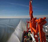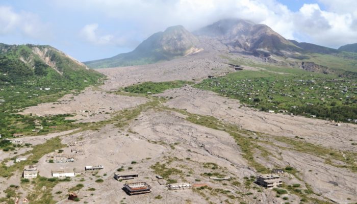
Plymouth, the capital of Montserrat, was evacuated in 1995 after the nearby Soufrière Hills Volcano (background of the image) had reactivated. Later on the town was struck by pyroclastic flows, and its centre was almost completely buried by material relocated from the upper slopes through lahars. The suburb of Town Hill can still be seen in the right centre of the photo. It remains an exclusion zone, as does the entire southern portion of the island.
Description by Martin Mergili, after the description on imaggeo.egu.eu.
Imaggeo is the EGU’s online open access geosciences image repository. All geoscientists (and others) can submit their photographs and videos to this repository and, since it is open access, these images can be used for free by scientists for their presentations or publications, by educators and the general public, and some images can even be used freely for commercial purposes. Photographers also retain full rights of use, as Imaggeo images are licensed and distributed by the EGU under a Creative Commons licence. Submit your photos at http://imaggeo.egu.eu/upload/.