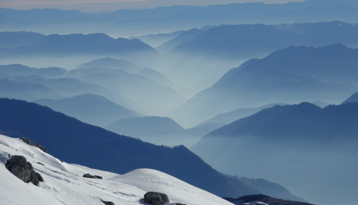
The Idrija fault is a an active fault crossing Slovenia for more than 100 km in a NW-SE direction and is responsible for several important geological features in the country. Among them, we can mention the former-active mercury mine of Idrija which has registered as a Unesco World Heritage site since 2012.
Another example that demonstrates the impact of this fault is it’s effect on the regional hydrology. Due to its strike-slip movement, this fault generated a set of four successive ‘poljes‘ or large depressions in a limestone karst, belonging to the catchment of the Ljubljanica River. These large flat depressions are regularly flooded and can form several meter high temporary lakes that can last for months! The largest of them is named Cerknisko jezero (Cerknica Lake) and reaches a surface height of more than 20km2!
Description by Cyril Mayaud as it originally appeared on imaggeo.eu.
To see more examples of Cyril’s photography, visit their Instagram page!
Imaggeo is the EGU’s online open access geosciences image repository. All geoscientists (and others) can submit their photographs and videos to this repository and, since it is open access, these images can be used for free by scientists for their presentations or publications, by educators and the general public, and some images can even be used freely for commercial purposes. Photographers also retain full rights of use, as Imaggeo images are licensed and distributed by the EGU under a Creative Commons licence. Submit your photos at http://imaggeo.egu.eu/upload/.


