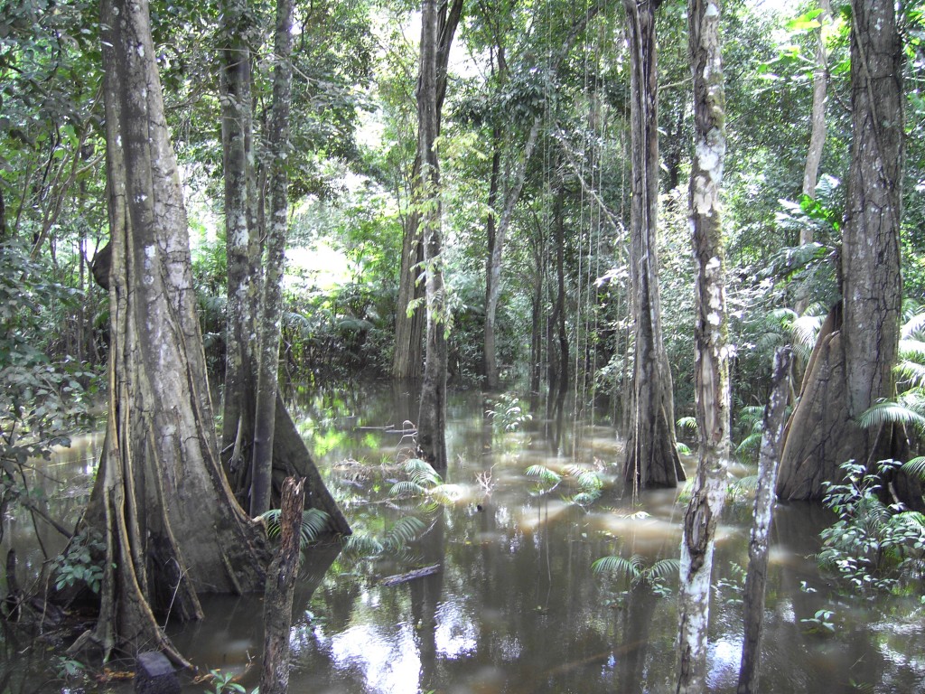
“Amazonian floodplain” by Jürgen Kesselmeier, distributed by the European Geosciences Union under a Creative Commons licence.
After the Nile, the Amazon River is the second longest river in the world and, by releasing up to 300,000 cubic metres per second into the Atlantic Ocean, accounts for approximately one-fifth of the planet’s total river flow. The river and its tributaries are characterised by extensive annual flooding of over 350,000 square kilometres of forested areas. Floodplain water levels may exceed 9m.
Not all of the Amazon’s tributaries flood simultaneously each year. For example, many branches begin to flood in November and continue to rise until June, whereas the Rio Negro starts rising in February or March.
The freshwater ecosystems of the Amazon floodplain are vital repositories of biodiversity, hosting fish, reptiles, and other aquatic animals normally inhabiting the river’s main water channels but migrating to newly-flooded areas in order to feed and reproduce. The region’s flora also relies on the annual flooding cycle: seeds are dispersed by the water and by fruit-eating animals and fish that thrive in the temporary wetlands.
This view of the flooded forest was captured by Jürgen Kesselmeier, a biogeoscientist at the Max-Planck-Institut für Chemie, Mainz, Germany. He explains, “I took this picture at the end of April 2008 during one of my visits to the Amazonian rainforest, in the Várzea, or ‘floodplain’ region of the Rio Solimoes near Manaus (shortly before this river joins the Rio Negro). This area is known to show a flood pulse of 10-15m, meaning the water level of these river systems fluctuates by 10-15m on a regular basis every year. This picture was shot near the time of maximum flooding and therefore large areas were inundated. It features a magical-looking forest and, to me, offers a glimpse into just why this ecosystem is so special.”
Logging and the clearing of land for cattle ranching change the Amazonian floodplain landscape. Overfishing, the construction of dams and roads, and pollution, from nearby human habitations and gold mining in smaller streams, also threaten the local ecosystem.
Imaggeo is the EGU’s online open access geosciences image repository. All geoscientists (and others) can submit their images to this repository and since it is open access, these photos can be used by scientists for their presentations or publications as well as by the press and public for educational purposes and otherwise. If you submit your images to Imaggeo, you retain full rights of use, since they are licensed and distributed by the EGU under a Creative Commons licence.
