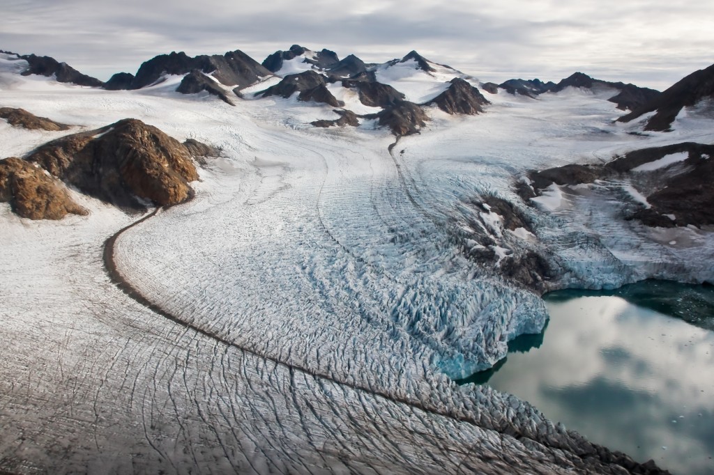
“The Power of Ice” by Romain Schläppy, distributed by the European Geosciences Union under a Creative Commons licence.
There has been a lot of talk about Greenland lately in the context of global climate change. And for good reason. Over 80% of its total surface is covered by ice, the volume of which exceeds 2,850,000 km3 or enough to raise global sea levels by a staggering 7 m if fully melted.
The Greenland ice sheet consists of layers of compressed snow from over 100,000 years of snowfall. As a result, ice cores drilled into its summit provide, through their layering and chemical composition, an unparalleled record of climate change in the Northern Hemisphere. These historical data include evidence that the planet’s weather has often shifted from one seemingly stable state to another.
Despite its sheer enormity and frigid hostility, the Greenland ice sheet remains as beautiful as it is mysterious. This vivid picture was captured from a helicopter by Romain Schläppy during a field trip in September 2011. He explains, “This picture illustrates several small glaciers surrounding the Greenland ice cap, in Tassilaq, near Kulusuk, East Greenland. Dark lines represent moraines formed by the movement of rock material from the mountains tops towards the sea. An important current scientific area consists of placing the recent and ongoing Greenland warming in the broader context of past changes in south Greenland land climate, vegetation, sedimentation, and ice history.”
Greenland is an autonomous country within the Kingdom of Denmark and, by area, the world’s largest island. It has a population of 56,749 (2012 est.) and a total area of 2,166,086 km2, making it the least densely populated country in the world.
Imaggeo is the EGU’s online open access geosciences image repository. All geoscientists (and others) can submit their images to this repository and since it is open access, these photos can be used by scientists for their presentations or publications as well as by the press and public for educational purposes and otherwise. If you submit your images to Imaggeo, you retain full rights of use, since they are licensed and distributed by the EGU under a Creative Commons licence.
