Antonio Jordán (University of Seville, Spain)
Paulo Pereira (Mykolas Romeris University, Lithuania)
Saskia Keesstra (Wageningen University, The Netherlands)
Artemi Cerdà (University of Valencia, Spain)

What is connectivity?
Over the recent decades, a growing number of studies have highlighted the role of hydrological and sediment connectivity processes in relation to watershed management, topography, aspect, soil erosion (Bracken and Croke, 2007; Heckmann et al., 2010; Hopp and Mc Donnell, 2009; Parsons et al., 2996), movement of nutrients and pollutants (Keesstra et al., 2012a; Puttock et al., 2013; Okin and Gillette, 2001; Turnbull et al., 2011), vegetation (Jordán et al., 2008) or infrastructures (Jordán and Martínez-Zavala, 2008; Müeller et al., 2008; Ocampo et al. 2006). Water and sediment connectivity has emerged as a significant conceptual framework for understanding the transfer of surface water and sediment and associated substances through landscapes. With “connectivity”, we make reference to the interdependence of hydrological processes with other elements of the landscape as soil, highlighting the strong relationship among them. This relation occurs spatially at different scales (Bracken et al., 2014; Wainwright et al., 2011), from molecular to landscape processes through intermediate scales as aggregates, pedons or landforms(Brown et al., 2009; Dosseto et al., 2010; Harvey, 2002; Fryirs et al., 2007; Hooke, 2003; Lane et al., 2008; Jain and Tandon, 2010), and in a time-dependent way (Benda and Dunne, 1997; Harvey, 2002; McGuire and McDonnell, 2007; Otto et al., 2009).
Successful prediction of pathways of storm runoff generation and associated sediment transport is of considerable societal importance, including off-site impacts such as water quality and the provision of related ecosystem services. Recently, the role of connectivity in controlling runoff and erosion has received significant and increasing scientific attention, though in a disparate and uncoordinated way. There is a wealth of experience and expertise in connectivity across Europe that could be harnessed to ensure that the potential already demonstrated in key studies can be more widely fulfilled; to move forward along agreed lines and identify emerging goals, and to benefit from cross-fertilization of ideas from the fields of Hydrology, Soil Science, Geomorphology and Ecology.

Is it possible to trace the path followed by a particle from the top of a mountain to the valley? Soil scientists, have learned to quantify particle transport processes, soluble substances and even organisms due to surface and subsurface water flows. Predicting the ways of runoff generation and the mechanisms associated with rainfall-induced soil erosion has important consequences for water quality and related ecosystem services (eg, Ali et al., 2014). However in the present, we still have very little understanding about connectivity and link correctly all the process involved. Models are useful tools in this task, but need to be improved (Fryirs, 2012).
Connectivity among different systems depends on the intensity of hydrological mechanisms, (precipitation, infiltration, runoff, evaporation, etc.), transfer rates (in turn, depending on soil characteristics as porosity, texture, aggregation), slope parameters (slope length, gradient) and the characteristics of the surface (roughness, heterogeneity, microtopography) or vegetation type and cover. Some authors have highlighted the role of landscape complexity and spatial heterogeneity on runoff and sediment yield (Baarman et al., 2013; Harel and Mouche, 2014; Kirby, 2014). According to Fryirs (2012), wide alluvial valleys have high potential for sediment storage landforms to develop, all with various residence times. In such areas, sediment is more likely to be stored in sediment trapping areas, so reducing the flow connectivity (Mekonnen et al., 2014). In contrast, in partly-confined valleys, sediments are stored only temporarily. Consequently, landform complexity controls sediment compartments and the recurrence with which sediment is removed or added to the conveyor belt (Fryirs, 2012).
Connectivity can be seen as both a driver of hydrological and geomorphic processes within a catchment and as an emergent property of the latter that is caused by these processes and their interaction. As one cause of complexity, it not only governs the output of the catchment system, but also the sensitivity of the system in terms of its reaction to change and the way that change is propagated through the catchment. Unlike in ecology, where species mobility among well-connected habitat patches buffers the effects of habitat destruction or fragmentation, the sensitivity (and vulnerability) of hydro-geomorphic systems increases due to high connectivity.
Hence, connectivity is also linked to important issues such as the reaction of natural systems to climate change, to natural hazards associated with water and sediment dynamics, and to the management of water and sediment in river catchments. Especially significant is the impact of anthropogenic structures on water and sediment connectivity (Pechenick et al., 2014). Forest roads, tractor wheelings, forest fires and soil compaction at field gates, for example, can considerably enhance connectivity, whereas contour afforestation, vegetation recovery or ploughing can reduce it. A step change in the concept of water and sediment connectivity will achieve the unrealised potential of the concept both in terms of enhancing our understanding of landscape processes and in terms of its implementation as a management tool.

A long way here
Although the role of connectivity in the control of hydrological processes and soil erosion has received significant attention from the scientific community, studies have been been addressed partial and unevenly. Also, traditionally, the importance of hydrologic connection among the different elements of the landscape, vegetation, topography and soil, has not received much attention. Currently, some new approaches have made it necessary to raise this issue (by the way, generating lively discussions among regolith and soil scientists). There is a lot of experience and knowledge about the mechanisms related to the connectivity that can be used to advance in the knowledge and identify emerging targets. However it is urgent to link this mechanisms in a systematic manner to understand connectivity. Especially in arid and semiarid systems, there is a growing awareness of the importance of hydrological connectivity (and disconnectedness) among the different compartments of ecosystems through elements such as streams, runoff or subsurface flow. These connections (and disconnections) have impacts on the physical, chemical and biological soil properties.
Why studying connectivity?
One of the most important applications of hydrological and sediment connectivity is the study and watershed management and the factors that affect it. According to Bracken et al. (2013), the objective of watershed management is usually keep the disconnect between different niches (hydrological, ecological or geomorphological), especially against disturbances (wildfires, land use change, global warming, etc.). Thus, effective management requires an understanding of connectivity-based processes so that managers can interpret systems function and can know when, where and how to intervene in the most appropriate and sustainable way depending on environmental conditions (Lexartza-Artza and Wainwright, 2009). Studying connectivity will allow to understand the linkage among the different elements of the landscape. This is extremely important for a better land use planning, management and decision making. For example, according to Mekonnen et al. (2014), on-site sediment trapping measures as afforestation (Keesstra et al., 2009), vegetative strips (Pan et al., 2011), riparian vegetation (Keesstra et al., 2012b; Poeppl et al., 2012) and terracing (Gebremichael et al., 2005; Garbrecht and Starks, 2009) may be used for managing sediment source areas. Also, off-site sediment trapping measures as check dams (Abedini et al., 2012) and ponds (Fiener et al., 2005) may be implemented within drainage channels. So, both on-site and off-site sediment trapping measures may help to disconnect the sediment transfer network and retard the transfer of sediments downslope.
But do we know how?
At this stage, “what” might be even more important than “how”. Despite the large number of people working on it, there is no consensus on how to define connectivity. Therefore, we do not know how to measure it. Currently, scientists working on the definition of hydrological connectivity and some interesting discussions have been proposed, comparing different definitions and proposing some future lines of research.
The need for a common methodology
The concept of connectivity allows to investigate the impact of landscape characteristics and elements on its evolution. Thus, for modeling global processes and make efficient and sustainable management proposals, it is necessary to know how these elements interact. However, the way to approach the study of connectivity varies from one researcher to another (due to the variety of mechanisms, components and objects of study). Other important aspect is that connectivity is not understood equally by the different branches of science that dedicate to study the mechanisms involved. Connectivity needs a common definition and standard methodology. In additiion, one added difficulty is that key aspects of connectivity involve static and dynamic processes. While we have a relative understanding of static elements, a lot of investigation is still required in order to understand dynamic components of hydrological connectivity in the time and space.
Connecteur: Connecting European Connectivity Research
The Connecteur group (COST Action 1306) has joined a significant number of scientists in an EU-spanning network, to share expertise and develop a consensus on the definition and scientific agenda regarding the emerging field of water and sediment connectivity within Europe (and the diversity of European environments), and to identify potential for synergy with other disciplines and research applications in practise.
The key benefit of this Action will therefore be to establish connectivity as a research paradigm. The Action will then permit transfer of current understanding into useable science, by developing its conceptual basis and transferring it into a series of monitoring and modelling tools that will provide the platform for indices that will inform holistic management of catchment systems.
The Connecteur group has proposed a roadmap to develop a theoretical basis for the concept of connectivity of water and sediments and their interaction with soil and biota. To do this it is needed to:
- Review existing studies, integrate knowledge from different disciplines, define properly the concept of connectivity and identify the future needs to have a better understanding of connectivity.
- Compare, evaluate and standardize protocols field studies at different spatial scales, considering the use of new technologies for data collection, management and analysis.
- Integrate new concepts in existing models, apply more robust statistical methods, integrate more covariates, and test models with real data.
- Develop connectivity indices in different environments, using digital elevation model-based approaches.
After achieving these objectives, it is possible to provide tools to managers and stakeholders for an adequate and sustainable management watershed and hydrologic and soil resources. For this purpose, a COST Action has been initiated in April 2014: ES1306, Connecting European Connectivity Research, coordinated by Saskia Keesstra (saskia.keesstra@wur.nl, Wageningen University), Artemi Cerdà (artemio.cerda@uv.es, University of Valencia) and Rens Masselink (contact@connecteur.info, Wageningen University). Currently, more than 130 researchers from different European countries have joined and collaborate actively with the network. More information at www.connecteur.info.
References
- Abedini M, Md Said MA, Ahmad F. 2012. Effectiveness of check dam to control soil erosion in a tropical catchment (the Ulu Kinta Basin). Catena 97: 63-70.
- Ali G, Birkel C, Tetzlaff D, Soulsby C, McDonnoell JJ, Tarolli p. 2014. A comparison of wetness indices for the prediction of observed connected saturated areas under contrasting conditions. Earth Surface Processes and Landforms 39: 399-413.
- Benda L, Dunne T. 1997. Stochastic forcing of sediment routing and storage in channel networks. Water Resources Research 33: 2865-2880.
- Bracken LJ, Croke J. 2007. The concept of hydrological connectivity and its contribution to understanding runoff dominated geomorphic systems. Hydrological Processes 21:1749−1763.
- Bracken LJ, Wainwright J, Ali GA, Tetzlaff D, Smith MW, Reaney SM, Roy AG. 2013. Concepts of hydrological connectivity: Research approaches, pathways and future agendas. Earth-Science Reviews 119: 17-34.
- Bracken LJ, Turnbull L, Wainwright J, Bogaart P. 2014. Sediment connectivity: a framework for understanding sediment transport at multiple scales. Earth Surface Processes and Landforms. DOI: 10.1002/esp.3635.
- Brown AG, Carey C, Erkens G, Fuchs M, Hoffman T, Macaire JJ, Moldenhauer KM, Walling D. 2009. From sedimentary records to sediment budgets: multiple approaches to catchment sediment flux. Geomorphology 108: 35-47.
- Dosseto A, Hesse P, Maher K, Fryirs K, Turner SP. 2010. Climate and vegetation control on sediment dynamics during the last glacial cycle. Geology 38: 395-398.
- Fiener P, Auerswald K, Weigand S. 2005. Managing erosion and water quality in agricultural watersheds by small detention ponds. Agriculture, Ecosystems & Environment 110: 132-142.
- Fryirs K. 2012. (Dis)Connectivity in catchment sediment cascades: a fresh look at the sediment delivery problem. Earth Surface Processes and Landforms 38:30-46.
- Fryirs K, Brierley GJ, Preston NJ, Spencer J. 2007b. Catchment-scale (dis)connectivity in sediment flux in the upper Hunter catchment, New South Wales, Australia. Geomorphology 84: 297-316.
- Garbrecht JD, Starks PJ. 2009. Watershed sediment yield reduction through soil conservation in a West-Central Oklahoma watershed. Ecohydrology 2: 313-320.
- Gebremichael D, Nyssen J, Poesen J, Deckers J, Haile M, Govers G, Moeyersons J. 2005. Effectiveness of stone bunds in controlling soil erosion on cropland in the Tigray Highlands, northern Ethiopia. Soil Use and Management 21: 287-297.
- Harvey AM. 2002. Effective timescales of coupling within fluvial systems. Geomorphology 44: 175-201.
- Heckmann T, Thiel M, Schwanghart W, Haas F, Becht M. 2010. Using graph theory to quantify coarse sediment connectivity in alpine geosystems. Geophysical Research Abstracts 12: EGU2010-12718.
- Hooke JM. 2003. Coarse sediment connectivity in river channel systems: a conceptual framework and methodology. Geomorphology 56: 79-94.
- Hopp L, McDonnell JJ. 2009. Connectivity at the hillslope scale: Identifying interactions between storm size, bedrock permeability, slope angle and soil depth. Journal of Hydrology 376: 378-391.
- Jain V, Tandon SK. 2010. Conceptual assessment of (dis)connectivity and its application to the Ganga River dispersal system. Geomorphology 118: 349-358.
- Jordán A, Martínez-Zavala LM. 2008. Soil loss and runoff rates on unpaved forest roads in southern Spain after simulated rainfall. Forest Ecology and Management 255: 913-919.
- Jordán A, Martínez-Zavala L, Bellinfante N. 2008. Heterogeneity in soil hydrological response from different land cover types in southern Spain. Catena 74: 137-143.
- Keesstra SD, van Dam O, Verstraeten G, van Huissteden J. 2009. Changing sediment generation due to natural reforestation in the Dragonja catchment, SW Slovenia. Catena 78: 60-71.
- Keesstra SD, Geissen V, Mosse K, Piiranen Sm Scudiero E, Leistra M, van Schaik L. 2012a. Soil as a filter for groudwater quality. Current Opinion in Environmental Sustainability 4: 507-516.
- Keesstra SD, Kondrlova E, Czajka A, Seeger M, Maroulis J. 2012b. Assessing riparian zone impacts on water and sediment movement: a new approach. Netherland Journal for Geosciences 91: 245-256.
- Lane SN, Reid SC, Tayefi V, Yu D, Hardy RJ. 2008. Reconceptualising coarse sediment delivery problems in rivers as catchment-scale and diffuse. Geomorphology 98: 227-249.
- Lexartza-Artza I, Wainwright J. 2009. Hydrological connectivity: linking concepts with practical implications. Catena 79: 146-152.
- McGuire KJ, McDonnell JJ. 2007. Hydrological connectivity of hillslopes and streams: Characteristic time scales and nonlinearities. Water Resources Research 46: W10543.
- Mekonnen M, Keesstra SD, Stroosnjider L, Baartman JEM, Maroulis H. 2014. Soil conservation through sediment trapping: a review. Land Degradation and Development. DOI: 10.1002/ldr.2308.
- Müller EN, Wainwright J, Parsons AJ. 2008. Spatial variability of soil and nutrient parameters within grasslands and shrublands of a semi-arid environment, Jornada Basin, New Mexico. Ecohydrology 1: 3-12.
- Ocampo CJ, Sivapalan M, Oldham C. 2006. Hydrological connectivity of upland-riparian zones in agricultural catchments: Implications for runoff generation and nitrate transport. Journal of Hydrology 331: 643-658.
- Okin GS, Gillette DA. 2001. Distribution of vegetation in wind-dominated landscapes: Implications for wind erosion modeling and landscape processes. Journal of Geophysical Research 106: 9673-9683.
- Otto JC, Schrott L, Jaboyedoff M, Dikau R. 2009. Quantifying sediment storage in a high alpine valley (Turtmanntal, Switzerland). Earth Surface Processes and Landforms 34: 1726-1742.
- Pan C, Ma L, Shangguan Z, Ding A. 2011. Determining the sediment trapping capacity of grass filter strips. Journal of Hydrology 405:209-216.
- Parsons AJ, Abrahams AD, Wainwright J. 1996. Responses of interrill runoff and erosion rates to vegetation change in southern Arizona. Geomorphology 14: 311-317.
- Pechenick AM, Rizzo DM, Morrissey LA, Garvey KM, Underwood KL, Wemple BC. 2014. A multi-scale statistical approach to assess the effects of connectivity of road and stream networks on geomorphic channel condition. Earth Surface Processes and Landforms. DOI: 10.1002/esp.3611.
- Poeppl RE, Keiler M, Von Elverfeldt K, Zweimueller I, Glade T. 2012. The influence of riparian vegetation cover on diffuse lateral sediment connectivity and biogeomorphic processes in a medium-sized agricultural catchment, Austria. Geografiska Annaler, Series A: Physical Geography 94: 511-529.
- Puttock A, Macleod CJA, Bol R, Sessford P, Dugait J, Brazier RE. 2013. Changes in ecosystem structure, function and hydrological connectivity control water, soil and carbon losses in semi-arid grass to woody vegetation transition. Earth Surface Processes and Landforms 38: 1602-1611.
- Turnbull L, Wainwright J, Brazier RE. 2011. Nitrogen and phosphorus dynamics during runoff events over a transition from grassland to shrubland in the south-western United States. Hydrological Processes 25: 1-17.
- Wainwright, J, Turnbull L, Ibrahim TG, Lexartza-Artza I, Thornton, SF, Brazier R. 2011. Linking environmental regimes, space and time: Interpretations of structural and functional connectivity. Geomorphology 126: 387-404.
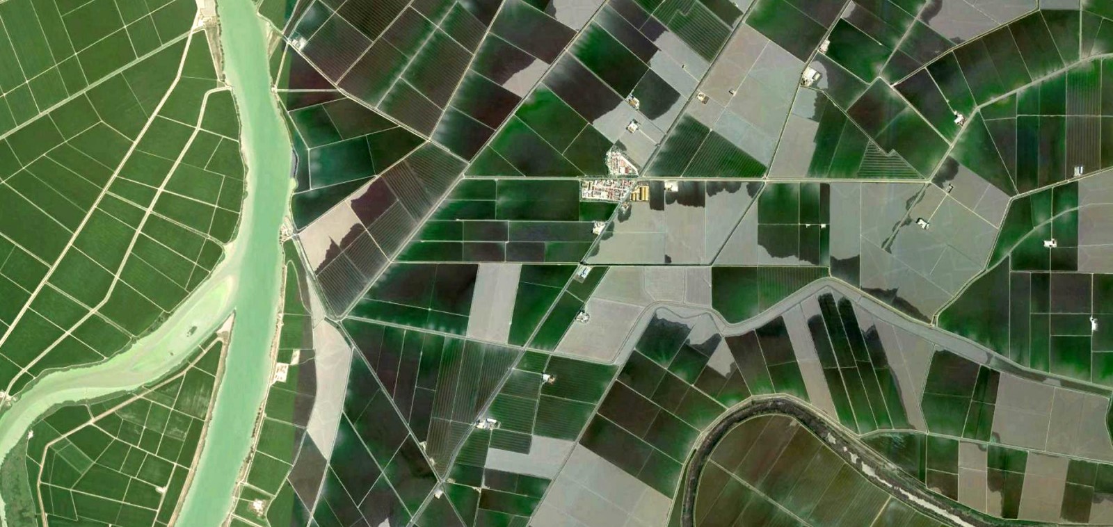
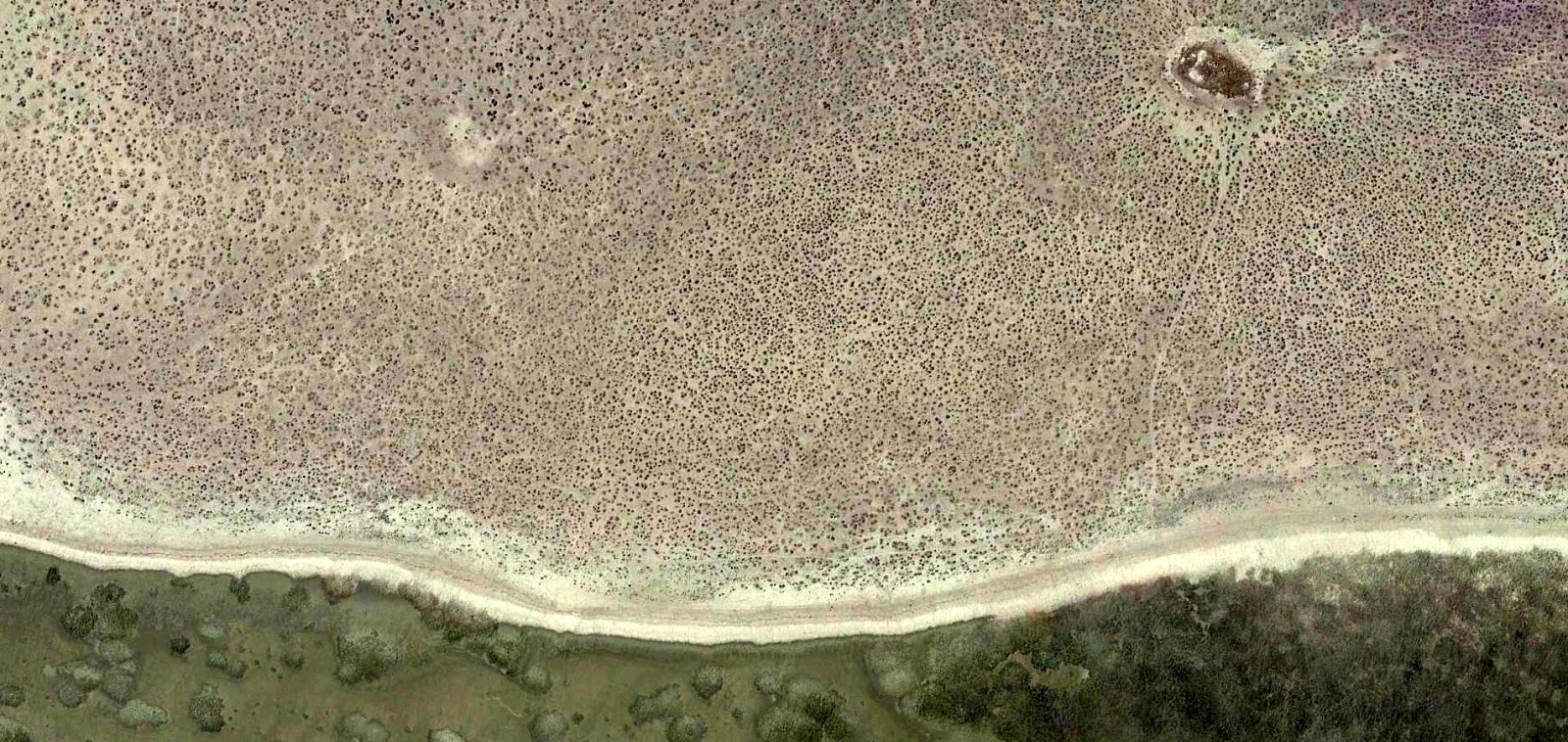
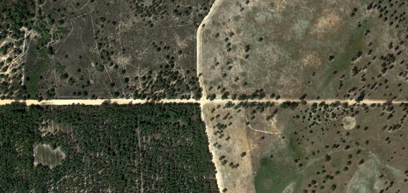
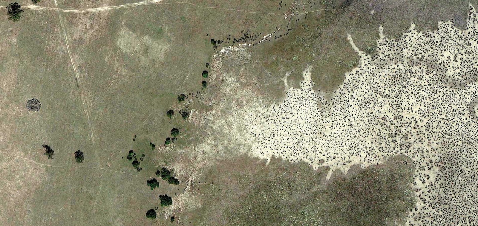
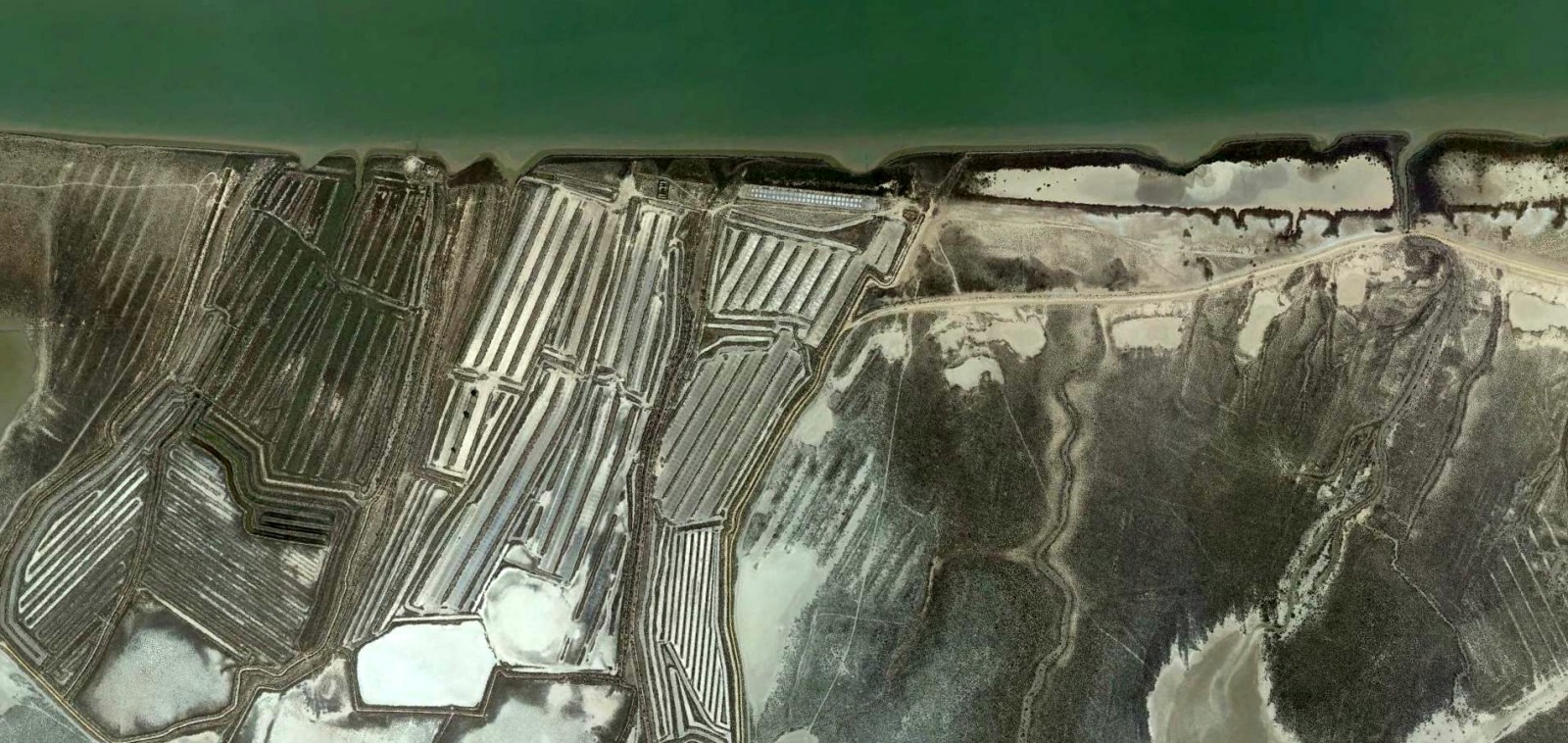
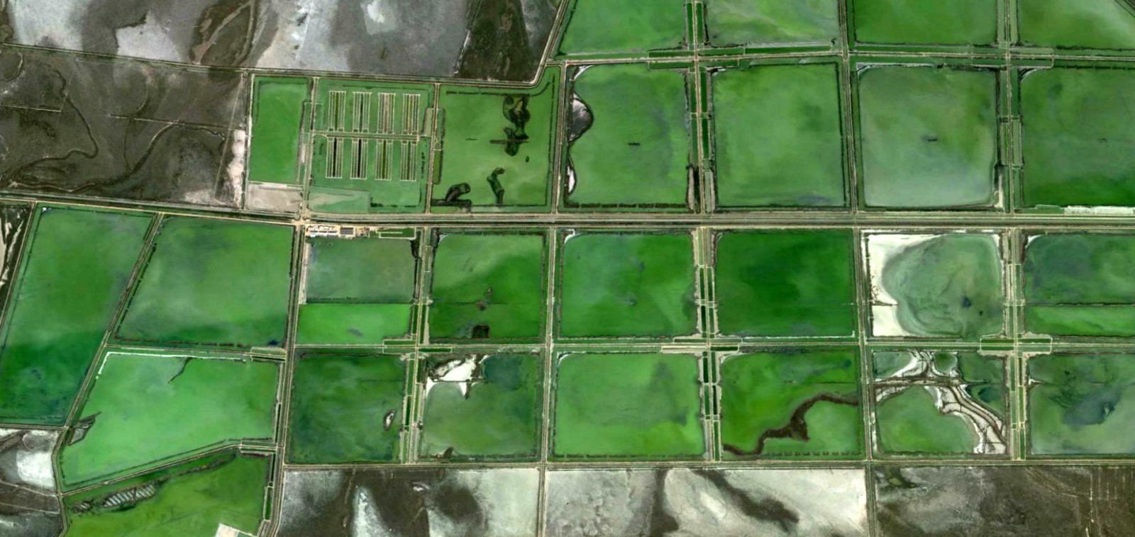
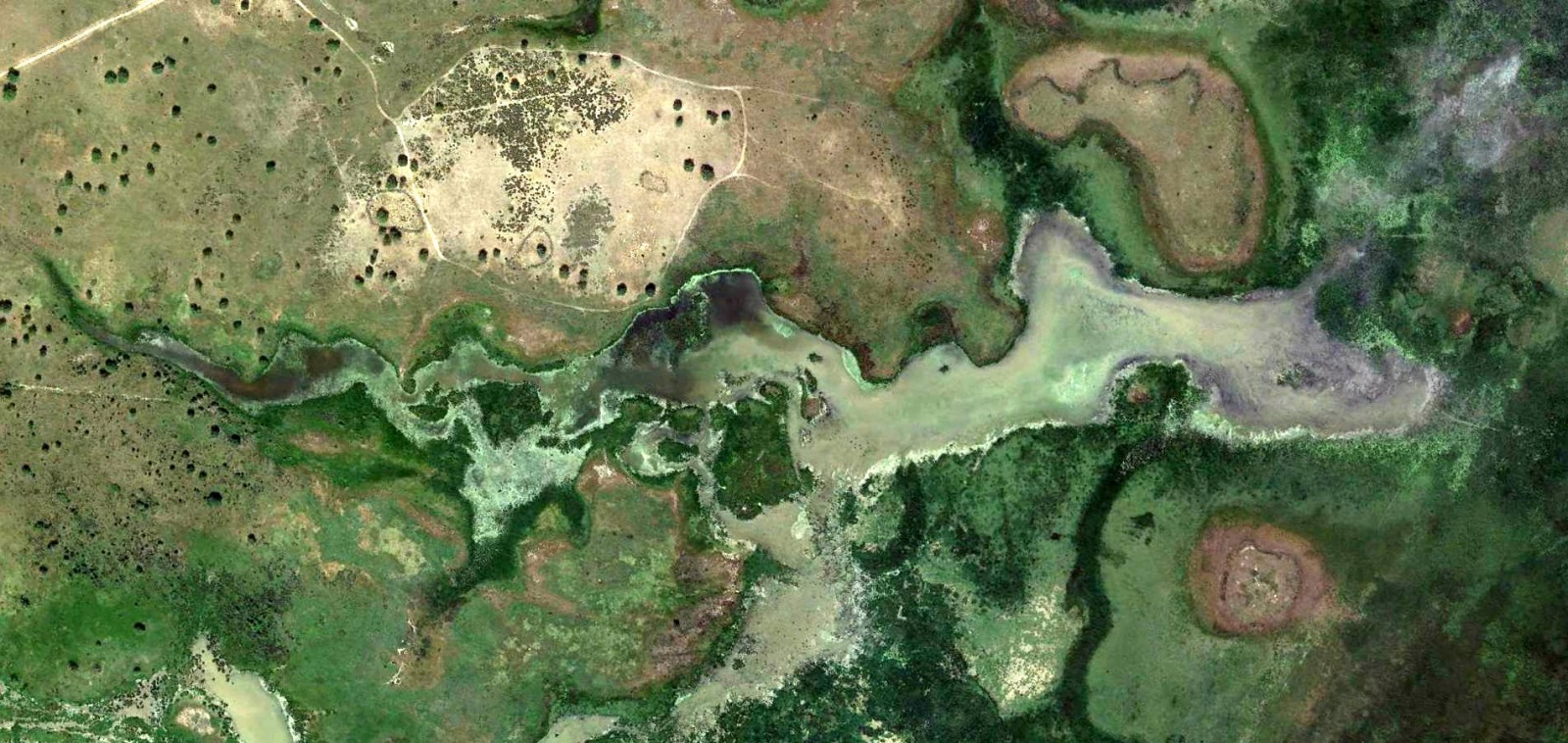
Note: All pictures in this post are Google Earth images from the Doñana National Park (SW Spain), approximately at 37° 1.000’N, 6° 20.000’W.
This post has been published simultaneously in gsoil.wordpress.com.
Pingback: Connectivity: an emerging issue | G-Soil