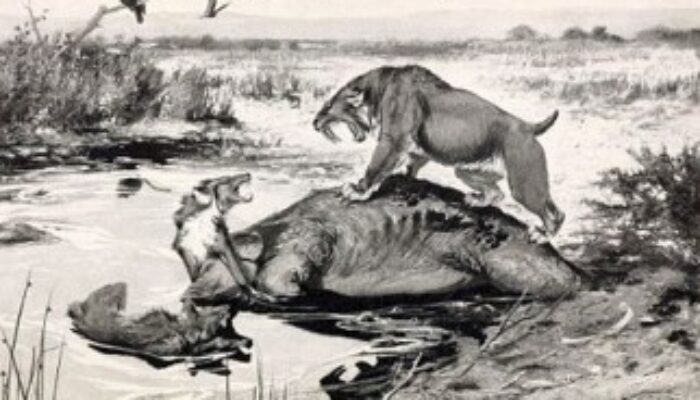
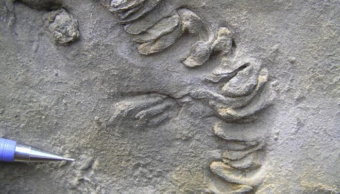
Introduction Bird footprints are some of the most recognizable traces in the fossil record. Yet birds exhibit a wide variety of behaviours which may be preserved as ancient traces. Records include feeding traces like probing, nesting structures and possibly coprolites, but the study of the traces left by modern birds extends their scope to courtship-related scrapes, swimming and diving traces, bir ...[Read More]
Broadening our Understanding of Bird Ichnology through Neoichnology
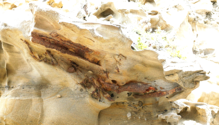
New type of fossil bird feeding trace from the Miocene of eastern Borneo