The Indian subcontinent is situated in Southern Asia, where it projects southwards from the Himalayas into the Indian Ocean. Along the northern border of this subcontinent, the Himalayas – home to the earth’s highest mountains on land – stretch with a length of ~2500 km and a width of 300 km. The stunning mountain ranges of the Himalayas provide a considerable physical barrier for air masses from/ ...[Read More]
Introducing the TIMES initiative
TIMES is the acronym of a large-scale international science initiative “Time Integrated Matrix for Earth Sciences” (Link: https://www.codd-home.net/times/). The idea is to launch a global program with the aim of synchronizing age models for particularly important geological climate records from the past 100 million years. The motivation for this program is given in a white paper published in the j ...[Read More]
The Deep Dust project continues!
In 2019, the EGU SSP blog reported from a workshop exploring Paleozoic dust. By now, the Deep Dust initiative is supported by the International Continental Scientific Drilling program, which is an important step. It is planned to drill in the US in a first project phase. The Deep Dust Drilling Project (DEEP DUST) is focused on understanding paleoclimatic conditions, biospheric responses and climat ...[Read More]
An online learning platform for cyclostratigraphy – www.cyclostratigraphy.org
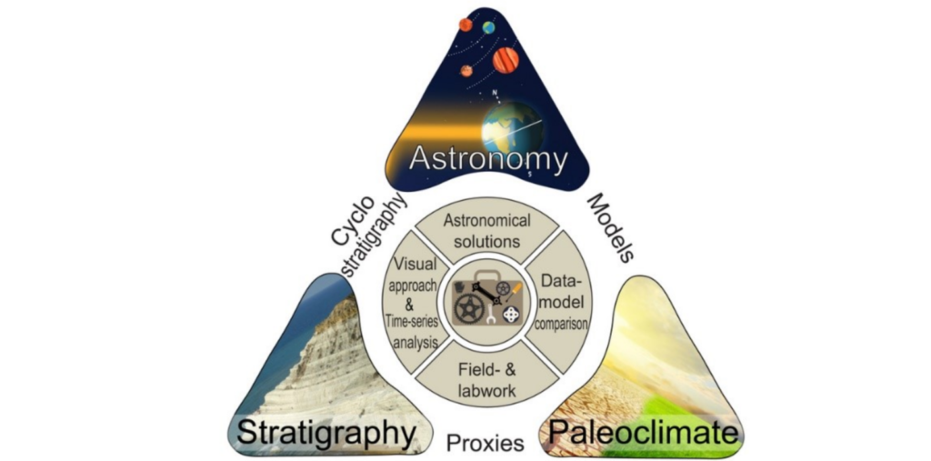
Cyclostratigraphers aim to read and understand the effect of climate-driven orbital changes in the geological record through time. In doing so, they start from an important prerequisite: An imprint of insolation variations caused by Earth’s orbital eccentricity, obliquity and/or precession (Milankovitch forcing) can be preserved in the geological rock record. The new www.cyclostratigraphy.org webs ...[Read More]
What’s my age again? Comparing dating methods in loess
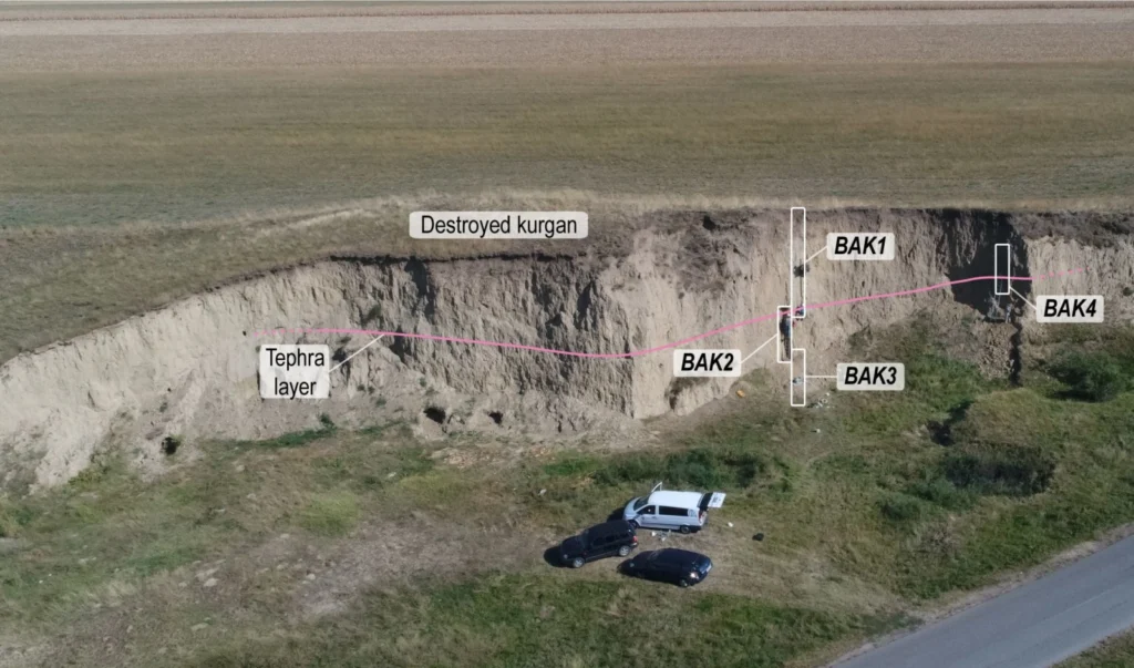
As you have learned from our previous posts, loess is a widespread terrestrial sediment, known to be an important archive for the changes of past environmental and climatic conditions. In order to use loess as a proxy, we first need to investigate the age of the sediments. In loess, different dating methods can be used, such as luminescence dating, radiocarbon dating, magnetic stratigraphy, and or ...[Read More]
Desert loess: formation, distribution, geoscientific value
Loess is an aeolian (wind-driven) silty sediment covering over 10% of the Earth’s land surface; it occurs predominantly in the mid-latitudes. On a global scale, loess is among the most widespread unconsolidated sediments, and of crucial importance for agricultural regions where loess deposits are known to form fertile soils because of its ability to store water and retain nutrients. Loess is compr ...[Read More]
Workshop on planning of the Weihe Basin Drilling Project: Cenozoic tectonic-climate interactions – in Xi’an, China
From climate to drilling technology – international participants of the workshop for planning the ‘Weihe Basin Drilling Project: Cenozoic tectonic-climate interactions’ covered a wide range of topics. In Xi’an, Institute of Earth Environment, Chinese Academy of Sciences (IEECAS) invited an international team of researchers to discuss a possible International Continental Scientific Drilling Program ...[Read More]
Investigating the climate history of Central Asia in Kashmir/India
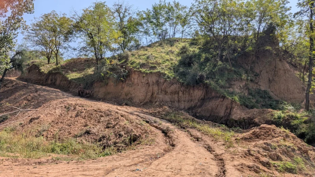
As in most arid areas, dust storms are quite common in India. Repeatedly, the wind carries large quantities of dust from the Thar Desert in the south-west into the Asian country, sometimes across long distances. There have also been dust storms in India in the past, making geoarchives of aeolian dust a suitable recorder of the past local climate- and dust history. When the climate was rather warm ...[Read More]
DeepDust ICDP workshop in Norman, Oklahoma, USA discussed drilling the equatorial terrestrial Permian
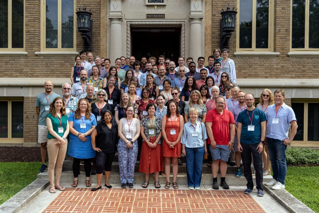
From microbiology to geophysics – more than 50 international participants of the first DeepDust Workshop covered a wide range of topics. In Oklahoma researchers exchanged views on a possible international drilling project to study the continental geology of the Permian. During a change from the cold to a warm period, large ice masses melted. This may provide interesting insights into current and f ...[Read More]