EGU Blogs

Division blogs

NH
Natural Hazards

“Studying earthquakes is a great opportunity to learn every day a lot about many different fields of earth sciences” Yann Klinger- Stephan Mueller Medalist-2024

“Studying earthquakes is a great opportunity to learn every day a lot about many different fields of earth sciences” Yann Klinger-  Stephan Mueller Medalist-2024

Hi Yann,  first of all, congratulations on the Stephan Mueller Medal, and it is my pleasure to interview you!! To all my readers, the Stephan Mueller Medal is one of the prestigious medals awarded for exceptional contributions to tectonics and structures by the European Geosciences Union (EGU).  Dr Yann Klinger wears many hats, he is …[Read More]

CL
Climate: Past, Present & Future

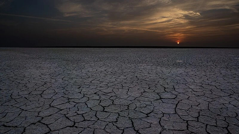
Misinterpretation of glacial aridity in subtropical environments in the Southern Hemisphere

Misinterpretation of glacial aridity in subtropical environments  in the Southern Hemisphere

To understand Earth’s changing climate, scientists often examine how the climate has varied in the past, by studying geological records. These records allow us to reconstruct past climates and help us predict planet’s responses to different climate forcings. In this context, it has long been thought that past ice ages on Earth were relatively dry, …[Read More]

HS
Hydrological Sciences

Thirsty Earth: a multiplayer online game for water resources education and research

Thirsty Earth: a multiplayer online game for water resources education and research

The Rising Need for Interdisciplinary Literacy The sustainable management of water resources requires cooperative institutions whose development are rarely included in already overloaded engineering and earth sciences curricula. The resilience of such institutions in the context of climatic and demographic change is also poorly understood. Enter “Thirsty Earth,” an online open-access multiplayer simulation game designed …[Read More]

G
Geodesy

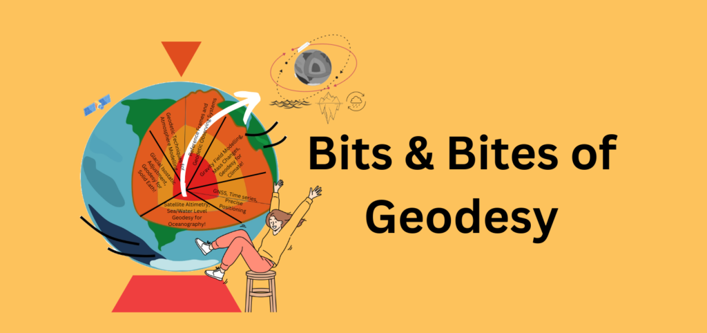
Bits and Bites of Geodesy – Satellite radar altimetry: How do we know that sea level is rising?

Bits and Bites of Geodesy – Satellite radar altimetry: How do we know that sea level is rising?

In a previous post, Thomas Frederikse briefly explained how geodesy is used to observe sea level change. In this part of Bits & Bites, Bene delves deeper into the topic. Rising sea levels are one of the consequences of climate change that already impacts people in low-lying coastal regions, and the future prospects are not …[Read More]