Detail of a photo: Large angular boulder beside a shallow pebbly stream in a grassy mountain valley, below steep forested slopes and rocky peaks under a dramatic blue sky, in heavily processed colours.
EGU Blogs

Division blogs

CR

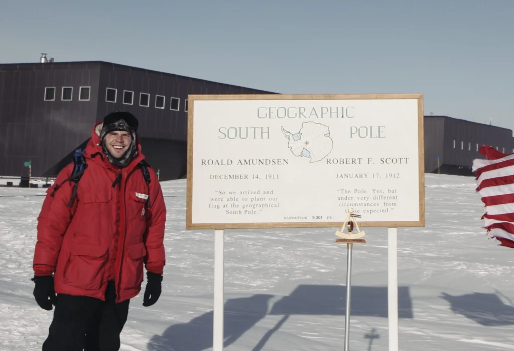
Mapping the bottom of the world — an Interview with Brad Herried, Antarctic Cartographer

Mapping the bottom of the world — an Interview with Brad Herried, Antarctic Cartographer

Mapping Earth’s most remote continent presents a number of unique challenges. Antarctic cartographers and scientists are using some of the most advanced mapping technologies available to get a clearer picture of the continent. We asked Brad Herried, a Cartographer and Web Developer at the Polar Geospatial Center at the University of Minnesota, a few questions …[Read More]

GD

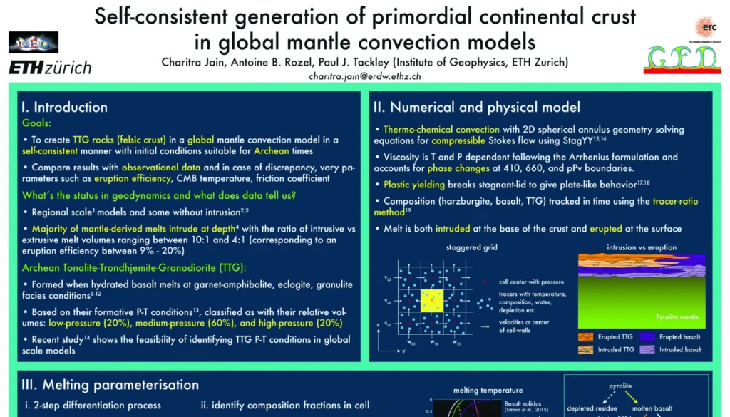
Poster presentation tips

Poster presentation tips

Being a scientist is more than just doing research and science. You also need to be able to communicate your findings to your peers and/or the general public (outreach). At conferences, you usually have two options for presenting your work: a talk or a poster (although at EGU, you also have the PICO sessions). A …[Read More]

GD

The lost Tethyan seaways: A deep-Earth and deep-time perspective on eastern Tethyan tectonics

The lost Tethyan seaways: A deep-Earth and deep-time perspective on eastern Tethyan tectonics

Every 8 weeks we turn our attention to a Remarkable Region that deserves a spot in the scientific limelight. Following from the first entry which showcased the Eastern Mediterranean, we move further east, and back in time, to the realm of the Tethys. The post is by postdoctoral researcher Sabin Zahirovic of the EarthByte Group and Basin …[Read More]

BG

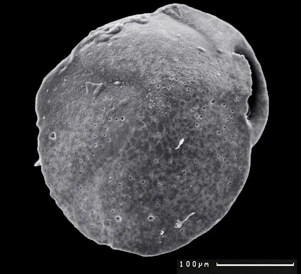
Identification of past methane emission altering the foraminiferal tests by secondary overgrowth of calcium carbonate.

Identification of past methane emission altering the foraminiferal tests by secondary overgrowth of calcium carbonate.

Ever heard about foraminifera? These tiny benthic (living at the seafloor) marine organisms are common in oceans across the globe and can be used to accurately give relative dates to sedimentary rocks. But we can also use them to identify past methane emissions from the seabed by studing their test or shell!   The measurements were …[Read More]