Every week, The Sassy Scientist answers a question on geodynamics, related topics, academic life, the universe or anything in between with a healthy dose of sarcasm. Do you have a question for The Sassy Scientist? Submit your question here or leave a comment below. Feeling kind of special after her paper got published, Marie-Jeanne asked: How do you feel about special issues? Dear Marie-Jeanne, Un ...[Read More]
Climate: Past, Present & Future
Dear “climate sceptic”, do you have a fire insurance? – Climate policy under uncertainty
One often hears that ambitious climate policy might be premature while climate change is still “uncertain”. This sounds like a fair argument: The amount of global warming per doubling CO2 is not well constrained, and the amount of economic damage per degree of warming even less. But is this uncertainty a sound excuse to wait and see? Uncertainty, risk aversion, and insurance If you knew the ...[Read More]
Geodynamics
AGU19 – we’ll be back, soon!
This week (9-13th December), the AGU19 Fall Meeting is back in the newly renovated Moscone Centre in central San Francisco. For the previous 2 years whilst the facelift has been happening, the Fall Meeting has been carted around to New Orleans and Washington, D.C. You can find more details of the week’s proceedings at the AGU website. It is a special year for the AGU as they celebrate their ...[Read More]
Geochemistry, Mineralogy, Petrology & Volcanology
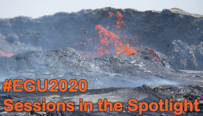
#EGU2020 Sessions in the Spotlight: Magmatic processes at divergent plate boundaries in space and time
Do you feel like a journey through time and space, all from the comfort* of a seat in the Austria Centre Vienna? (*comfort not guaranteed). Does your dream holiday involve Iceland, and not for Game of Thrones reasons? Are you jealous of those scientists who spend 12 hours in a tiny submarine just to look at the ocean floor and pick up some basalt? Then here is the session for you at the 2020 EGU c ...[Read More]
Geochemistry, Mineralogy, Petrology & Volcanology
#EGU2020 Sessions in the Spotlight: Hotspots, LIPs and LLSVPs: a global investigation with joint constraints from geochemistry, seismology and geodynamics
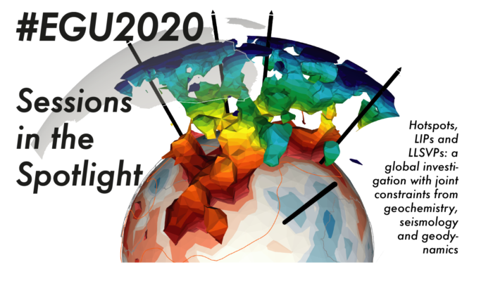
The Earth Sciences are so broad, that sometimes we can end up forgetting the other parts of it exist. We can get so focused on our field that we forget there might be other people working on really similar things, who might have something really useful to say. The EGU conference is great for solving this problem – it’s big enough to bring together all sorts of Earth scientists, but sti ...[Read More]
Cryospheric Sciences
Cryo Adventures – What’s currently going on in Antarctic science?
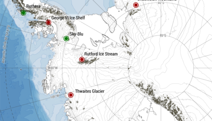
As Christmas gets closer, days are getting shorter in the northern hemisphere. A good excuse to get cosy inside on the sofa, drinking tea and eating Christmas biscuits. Meanwhile, a few thousand of scientists are heading “South”, to Antarctica, where the lengthening days provide the perfect conditions to conduct a whole variety of scientific field expeditions… Science in Antarctica Just last ...[Read More]
Geodynamics
The Sassy Scientist – Peak Peer-review
Every week, The Sassy Scientist answers a question on geodynamics, related topics, academic life, the universe or anything in between with a healthy dose of sarcasm. Do you have a question for The Sassy Scientist? Submit your question here or leave a comment below. After having dutifully followed the instructions put forward on this very blog on how to write a proper peer-review, Tomás got their i ...[Read More]
Geochemistry, Mineralogy, Petrology & Volcanology
#EGU2020 Sessions in the Spotlight: Continental Rift Evolution: from inception to break-up
Breaking up is hard, but sometimes it’s the right thing to do. Sometimes it might look like a breakup is about to happen, or it might even begin to happen, then be saved part way through. Sometimes breakups start with a small area of weakness, which grows into something much bigger. If your first thought reading this was ‘continental rifts’ or ‘this guy clearly knows nothin ...[Read More]
Tectonics and Structural Geology
Civita di Bagnoregio – the dying town
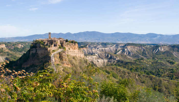
On top of a steep cliff standing out from the surrounding countryside, lies the small town of Civita di Bagnoregio, one of the most famous villages of Italy. It is often called the dying town, although more recently people have started to refer to it as fighting to live. What this little town is fighting against is the threat of erosion, as its walls are slowly crumbling down. Located in central I ...[Read More]
Geodynamics
The Role of Geosciences in Exoplanet Science
How can geoscience methods be incorporated into the research of extrasolar planets? These are planets that are beyond our own solar system and their geological properties are mostly unknown. Kaustubh Hakim is a postdoctoral researcher at the Center for Space and Habitability in Bern, Switzerland where he studies the interiors of rocky exoplanets and geochemical cycles using theory and lab experime ...[Read More]


