Greenland, the world’s largest island, has one of the most challenging environments for geodetic measurements. Maintaining GNSS (Global Navigation Satellite Systems) stations here isn’t just about precision – it’s about ensuring data continuity in an area that’s constantly moving. This is the behind-the-scenes story of a 15,000 km journey around Greenland: five weeks of helicopter-bas ...[Read More]
Geodesists on Tour: Circumnavigating Greenland by Helicopter
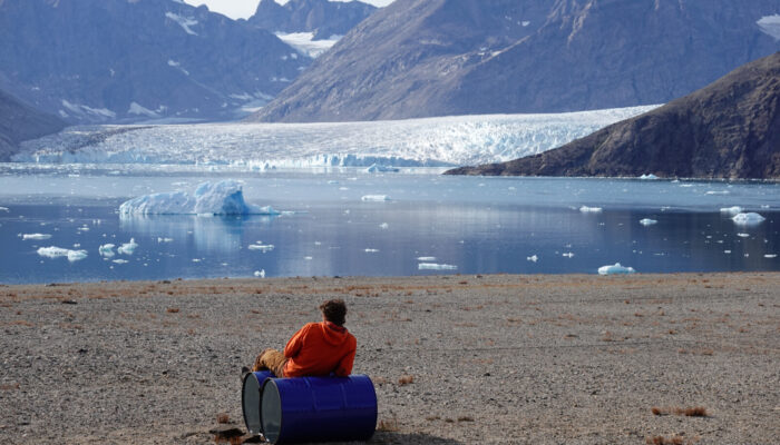
Enjoying the view after a long day in the field. Picture cortesy by Jean-Marie Bärtsch.